Login

Forgot your login?

Cookies have to be accepted!
Your browser's cookie functionality is disabled. Please enable this functionality.

Not a member yet?

Register now
Login

Available for registred users only

Log in to use this feature.

Forgot your login?

Cookies have to be accepted!
Your browser's cookie functionality is disabled. Please enable this functionality.

Not a member yet?

Register now
Filter
Categories
Advanced filters
  • Distance (km)
  • Height
Save filters Reset filter

TrackRank

QRCode

Technical data

Distance4,9 km Height574 m Way down577 m Duration01:15 h:m Date04.05.2017
Scores Author Landscape Fun factor Fitness Technique

Statistics

271 Views Scores 44 Downloads Average
Rate
  • Track data sheet
  • Directions
  • Downloads

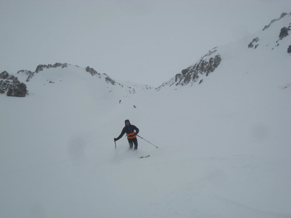
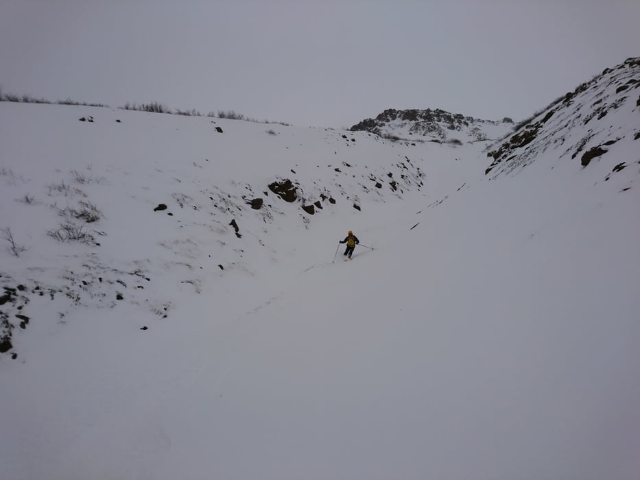
Genau an der Bezirksgrenze zieht eine Rinne empor. sie bietet eine Abfahrt in Idealneigung.

 Jahreszeit der Tour: Ende März

Tour gallery

Tour map and elevation profile

  • Open Street Map
  • Google
Minimum height 228 m Maximum height 796 m Detailed view

More about the tour author

Gi
Member since 2010

Send private message

Comments

Von Grenivik in Richtung Akureyri fahren, die erste Abzweigung nach links auf die 835 nehmen.

Nach dem Bach gibt es rechts eine Parkbucht. Hier starten


GPS tracks

Trackpoints
  • GPX / Garmin Map Source (gpx) download
  • TCX / Garmin Training Center® (tcx) download
  • CRS / Garmin Training Center® (crs) download
  • Google Earth (kml) download
  • G7ToWin (g7t) download
  • TTQV (trk) download
  • Overlay (ovl) download
  • Fugawi (txt) download
  • Kompass (DAV) Track (tk) download
  • Track data sheet (pdf) download
  • Original file of the author (gpx) download

More about the tour author

Gi
Member since 2010

Send private message
Share track
Add to my favorites
Remove from my favorites
Edit tags
My score
Rate
Track: Austurfiall
Type: Ski touring
Distance: 4,9 km
Evaluated on:
Duration:
Day(s)
Hour(s)
Minute(s)
Score: Landscape Fun factor Fitness Technique