Login

Forgot your login?

Cookies have to be accepted!
Your browser's cookie functionality is disabled. Please enable this functionality.

Not a member yet?

Register now
Login

Available for registred users only

Log in to use this feature.

Forgot your login?

Cookies have to be accepted!
Your browser's cookie functionality is disabled. Please enable this functionality.

Not a member yet?

Register now
Filter
Categories
Advanced filters
  • Distance (km)
  • Height
Save filters Reset filter

TrackRank

QRCode

Technical data

Distance8,5 km Height669 m Way down773 m Duration01:45 h:m Date05.05.2017
Scores Author Landscape Fun factor Fitness Technique

Statistics

268 Views Scores 44 Downloads Average
Rate
  • Track data sheet
  • Directions
  • Downloads

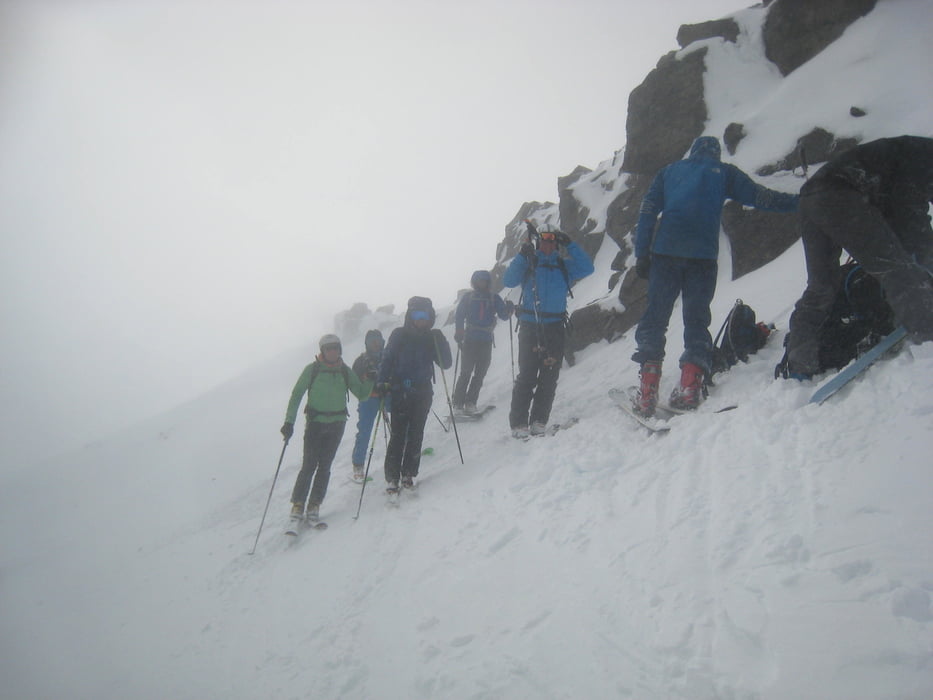
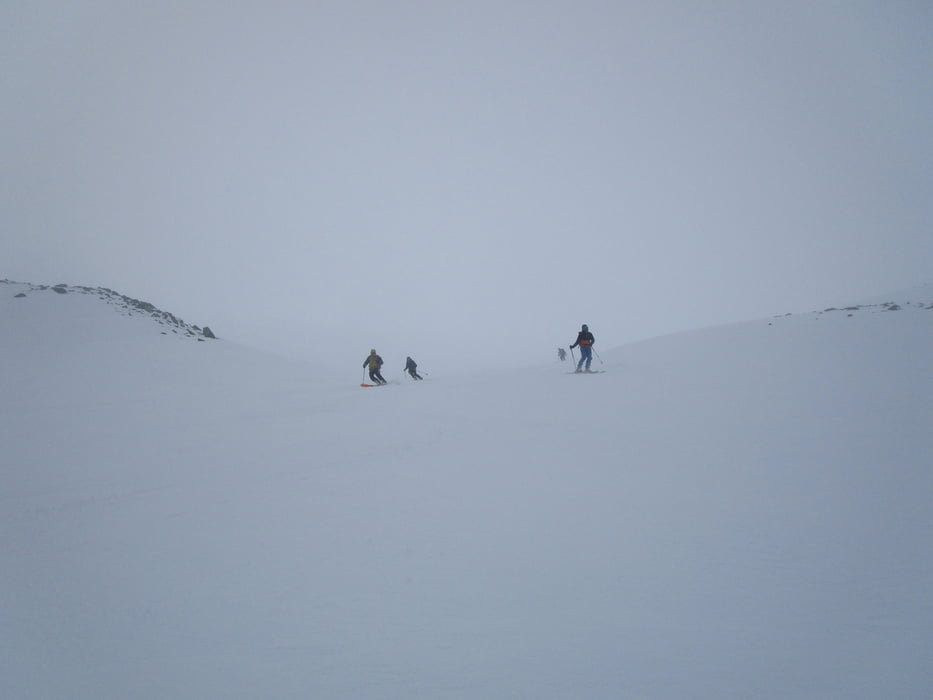
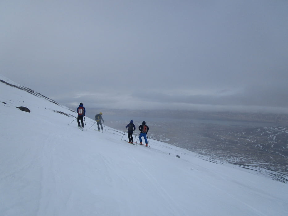
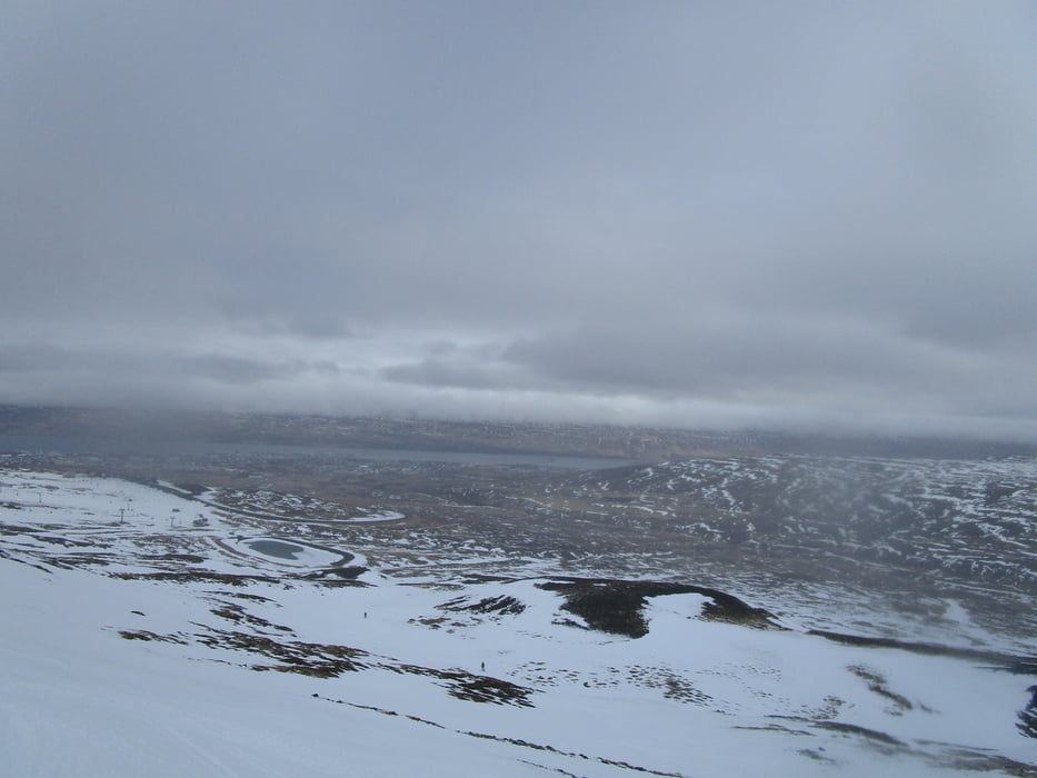
Direkt vom Skigebiet Hlíðarfjall über Akureyri, zunächst an der Piste starten, Die Piste bald nach links verlassen und queren bis man ein weites Kar errreicht. Durch dieses Kar auf das Hochplateau. Nun entweder gerade weiter zum Kista oder zu einem seiner Vorgipfel. Wir fanden im Nebel und Sturm nur den Gipfel auf der linken Seite.

Der Track der Aufstiegsspur ist bis zum obenerwähnten Kar ungefähr 100 m zu weit rechts (im steileren Gelände), da wir im dichten Nebel unterwegs waren. Die Abfahrtsspur vermittelt hier den wesentlich leichteren Zugang!

 Jahreszeit der Tour: Ende März

Tour gallery

Tour map and elevation profile

  • Open Street Map
  • Google
Minimum height 308 m Maximum height 1057 m Detailed view

More about the tour author

Gi
Member since 2010

Send private message

Comments

Von Akureyri bis zum Skilift Hlíðarfjall, bei guter Schneelage kann man auch schon weiter unten an der Straße parken und von dort starten.


GPS tracks

Trackpoints
  • GPX / Garmin Map Source (gpx) download
  • TCX / Garmin Training Center® (tcx) download
  • CRS / Garmin Training Center® (crs) download
  • Google Earth (kml) download
  • G7ToWin (g7t) download
  • TTQV (trk) download
  • Overlay (ovl) download
  • Fugawi (txt) download
  • Kompass (DAV) Track (tk) download
  • Track data sheet (pdf) download
  • Original file of the author (gpx) download

More about the tour author

Gi
Member since 2010

Send private message
Share track
Add to my favorites
Remove from my favorites
Edit tags
My score
Rate
Track: Kista Vorgipfel
Type: Ski touring
Distance: 8,5 km
Evaluated on:
Duration:
Day(s)
Hour(s)
Minute(s)
Score: Landscape Fun factor Fitness Technique