


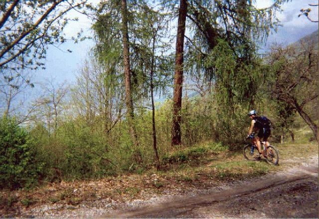
Wer eine kurze kräftige Uphilltour mit traumhaften Blicken auf Nago und den Oberen Gardasee sucht, ist hier richtig. Die ersten Kilometer der Auffahrt sind mit der Monte Stivo und Monte Velo Tour identisch. Gestartet wird am kleinen Platz in Torbole vor dem Hotel Centrale. Über die alte Straße nach Nago gelangt man direkt zur steilen Auffahrtsrampe auf die Malga Fiavei. Oben an der Steinmauer biegt man links ab und gewinnt im Wald weiter an Höhe bis zum Abzweigepunkt ins Tal. Schotterweg und übler Karrenweg wechseln sich ab, bis man auf die Hauptstraße nach Nago trifft. Von Nago führt die Aufzeichnung auf einem Trail an den Eiszeit-Steinkesseln vorbei, zurück nach Torbole.
Corno übersetzt: das Horn.
Corno übersetzt: das Horn.
Tour gallery
Tour map and elevation profile
Minimum height 77 m
Maximum height 1004 m
More about the tour author
|
|
chrisi |
Comments

Startpunkt ist der kleine Platz vor dem Hotel Centrale in Torbole.
GPS tracks
Trackpoints-
GPX / Garmin Map Source (gpx) download
-
TCX / Garmin Training Center® (tcx) download
-
CRS / Garmin Training Center® (crs) download
-
Google Earth (kml) download
-
G7ToWin (g7t) download
-
TTQV (trk) download
-
Overlay (ovl) download
-
Fugawi (txt) download
-
Kompass (DAV) Track (tk) download
-
Track data sheet (pdf) download
-
Original file of the author (g7t) download
More about the tour author
|
|
chrisi |
Add to my favorites
Remove from my favorites
Edit tags
Open track
My score
Rate