


Start der Tour ist beim alten Sportplatz in Ebreichsdorf.
Die Tour verläuft auf Feldwege nach Blumau, und auf dem EV9 nach Leobersdorf.
Ab Leobersdorf auf dem Triestingtalradweg (42) durch Hirtenberg, St.Veit, Berndorf und Pottenstein nach Weissenbach.
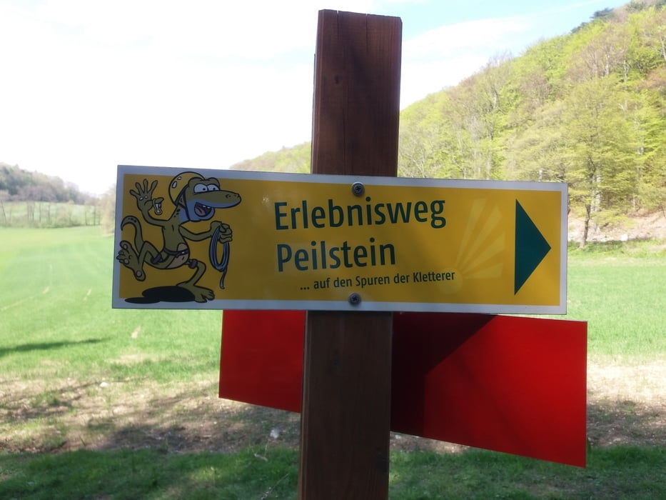
Kurz nach Weissenbach geht es über die Hafnerbergstrecke (MTB) nach Hafnerberg, Nöstach und Holzschlag.
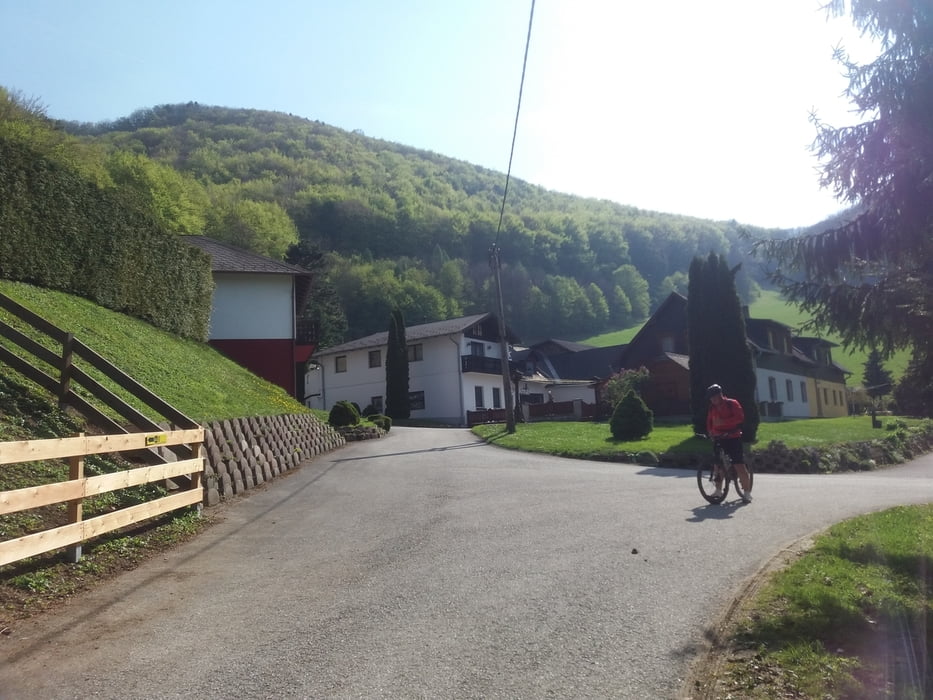
Von Holzschlag über den Waldweg nach Maria Raisenmarkt, und über die Straße nach Mayerling.
Ab Mayerling fährt man auf dem Helenentalradweg (40) und teilweise Helentalstrecke (MTB) nach, und durch Baden.
Kurz nach Baden endet der Helenentalradweg, und die Strecke verläuft weiter auf Straßen und Feldwege durch die Haidhofsiedlung nach Tattendorf zurück nach Ebreichsdorf.
Further information at
http://gasthofamholzschlag.com/Tour gallery
Tour map and elevation profile
Minimum height 193 m
Maximum height 581 m
More about the tour author
|
|
kersti |
Comments

Parkmöglichkeit beim Spotplatz
GPS tracks
Trackpoints-
GPX / Garmin Map Source (gpx) download
-
TCX / Garmin Training Center® (tcx) download
-
CRS / Garmin Training Center® (crs) download
-
Google Earth (kml) download
-
G7ToWin (g7t) download
-
TTQV (trk) download
-
Overlay (ovl) download
-
Fugawi (txt) download
-
Kompass (DAV) Track (tk) download
-
Track data sheet (pdf) download
-
Original file of the author (gpx) download
More about the tour author
|
|
kersti |
Add to my favorites
Remove from my favorites
Edit tags
Open track
My score
Rate