


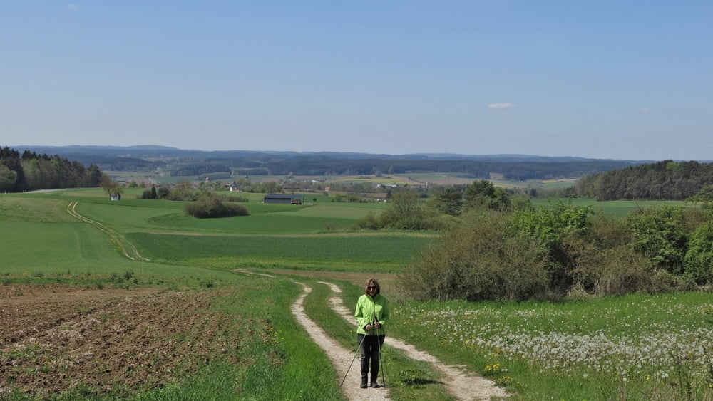
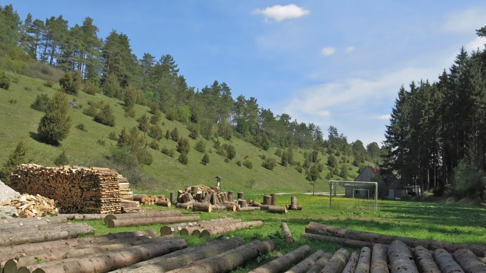
Leichte Wanderung von Hollfeld auf die Höhe mit schönem Fernblick. Es geht im frischen Maiengrün über Felder und Wald abwärts nach Kainach. Durch das liebliche Kainachtal(kein Verkehr!) zurück zum Start.
HINWEIS zum Video:
Mit Mozilla Firefox u.a. mit Flash- Player Plugin startet das Video direkt bei der Bildershow.
Andernfalls verwendet ihr in eurem Browser den Link:
https://youtu.be/qy9DhqPuhsg
Tour gallery


Tour map and elevation profile
Minimum height 391 m
Maximum height 542 m
More about the tour author
|
|
heinz-57 |
Comments

Auf der B22 von Bayreuth kommend nach dem Stadteingang links Parkplatz. Von diesem nach links und gleich rechts abbiegend in die Badstraße. Bald halbrechts aufwärts aus dem Ort über die Flur. Am Waldrand links, an Modellflugplatz vorbei geht es dann abwärts ins Tal nach Kainach. Im Ort schrf links durch das herrliche Tal zurück.
GPS tracks
Trackpoints-
GPX / Garmin Map Source (gpx) download
-
TCX / Garmin Training Center® (tcx) download
-
CRS / Garmin Training Center® (crs) download
-
Google Earth (kml) download
-
G7ToWin (g7t) download
-
TTQV (trk) download
-
Overlay (ovl) download
-
Fugawi (txt) download
-
Kompass (DAV) Track (tk) download
-
Track data sheet (pdf) download
-
Original file of the author (gpx) download
More about the tour author
|
|
heinz-57 |
Add to my favorites
Remove from my favorites
Edit tags
Open track
My score
Rate