


- Rundkurs gegen den Uhrzeigersinn
- Start/Ziel: Marling/Dorfzentrum
- Auf der Panoramastrasse nach Algund. Weiter auf dem Vinschgauradweg nach Naturns KM 14,9 - MH 532.
- Aufstieg auf Asphalt zur Hofkäserei "Brandhof" KM 23 (Samstag Ruhetag). Kurze Abfahrt auf Asphalt. Aufstieg bis zum Moserhof(Hirschgehege). Auf Steig/Forstweg nach Aschbach KM 29(Einkehrmäglichkeit). Kurze Schiebepassagen.
- Weiter auf Schotter im Auf und Ab bis zum Gasthof "Eggerhof" KM 34. Kurzer Aufstieg zum Almboden KM 35 - MH 1.350.
- Vom Alomboden Abfahrt auf Schotter bis zum Panorama- Gasthof "Tschigg". Vom Tschigg auf Asfalt hinunter nach Marling, zurück zum Ausgangspunkt.
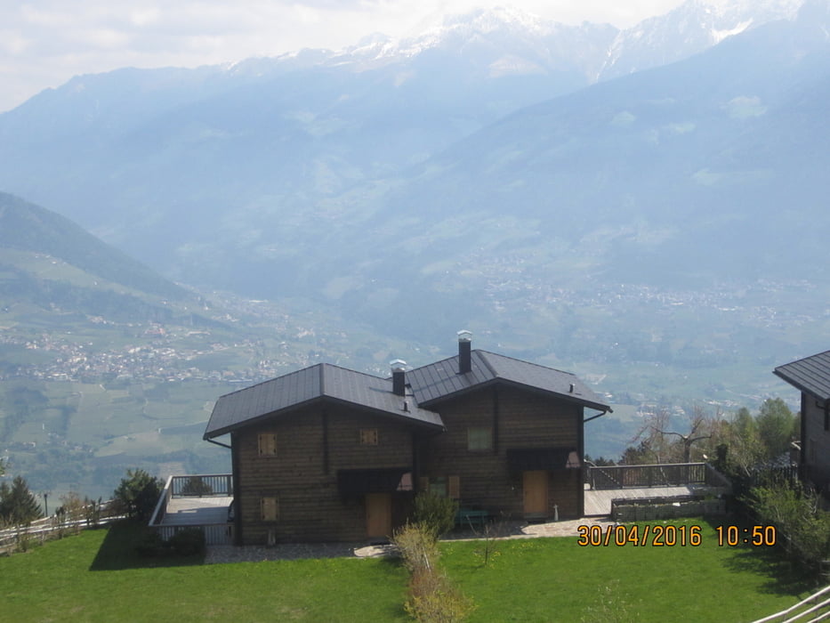
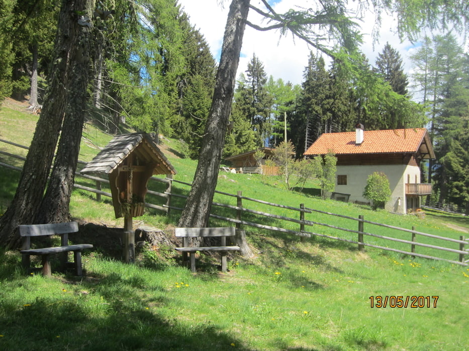
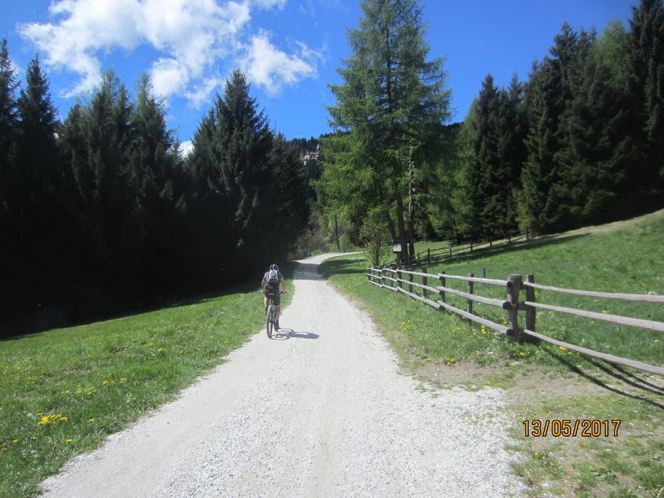
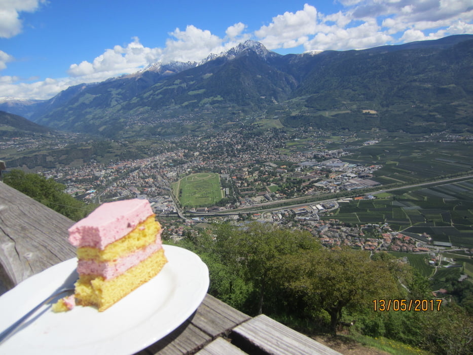
Tour gallery

Tour map and elevation profile
Minimum height 343 m
Maximum height 1430 m
More about the tour author
|
|
MargesinFriedrich |
Comments

GPS tracks
Trackpoints-
GPX / Garmin Map Source (gpx) download
-
TCX / Garmin Training Center® (tcx) download
-
CRS / Garmin Training Center® (crs) download
-
Google Earth (kml) download
-
G7ToWin (g7t) download
-
TTQV (trk) download
-
Overlay (ovl) download
-
Fugawi (txt) download
-
Kompass (DAV) Track (tk) download
-
Track data sheet (pdf) download
-
Original file of the author (gpx) download
More about the tour author
|
|
MargesinFriedrich |
Add to my favorites
Remove from my favorites
Edit tags
Open track
My score
Rate