


Von Cercal do Alentejo nach Sao Luis
Allgemeine Wegbeschreibung auf http://de.rotavicentina.com/resources/docs/6248_HWeg3_Cercal%20do%20Alentejo%20-%20S.Lu%C3%ADs.pdf. Nur nach vorheriger Anmeldung auf dem offiziellen Website der Rota Vicentina.
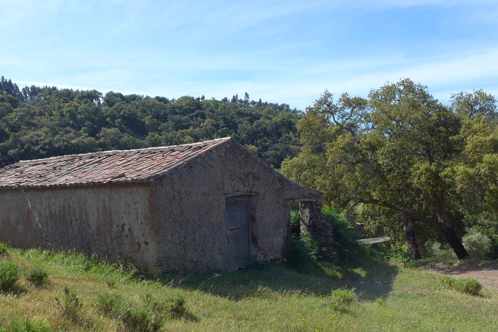
Anfang Mai gut zu gehen. Der offizielle Website beschreibt diese Etappe als die "bergigste und koerperlich anstrengendste Strecke auf der Rota Vicentina". Wir haben auf die Aufstiege auf die Rocha de Agua d'Alte und den S. Domingos verzichtet, 1 1/2 km gespart und die Etappe nicht als anstrengend empfunden.
Further information at
http://de.rotavicentina.com/route-cercal-do-alentejo-s-lu%C3%ADs-84.htmlTour gallery


Tour map and elevation profile
Minimum height 116 m
Maximum height 339 m
More about the tour author

|
lohanhe |
Comments

Mit dem Rede Express am Abend zurueck nach Lagos.
Von dort Anschluss mit der Bahn nach Faro und dem Stadtbus zum Flughafen
GPS tracks
Trackpoints-
GPX / Garmin Map Source (gpx) download
-
TCX / Garmin Training Center® (tcx) download
-
CRS / Garmin Training Center® (crs) download
-
Google Earth (kml) download
-
G7ToWin (g7t) download
-
TTQV (trk) download
-
Overlay (ovl) download
-
Fugawi (txt) download
-
Kompass (DAV) Track (tk) download
-
Track data sheet (pdf) download
-
Original file of the author (gpx) download
More about the tour author
|
|
lohanhe |
Add to my favorites
Remove from my favorites
Edit tags
Open track
My score
Rate