Login

Forgot your login?

Cookies have to be accepted!
Your browser's cookie functionality is disabled. Please enable this functionality.

Not a member yet?

Register now
Login

Available for registred users only

Log in to use this feature.

Forgot your login?

Cookies have to be accepted!
Your browser's cookie functionality is disabled. Please enable this functionality.

Not a member yet?

Register now
Filter
Categories
Advanced filters
  • Distance (km)
  • Height
Save filters Reset filter

TrackRank

QRCode

Technical data

Distance142,0 km Height795 m Way down798 m Duration05:34 h:m Date25.05.2017
Scores Author Landscape Fun factor Fitness Technique

Statistics

204 Views Scores 45 Downloads Average
Rate
  • Track data sheet
  • Directions
  • Downloads

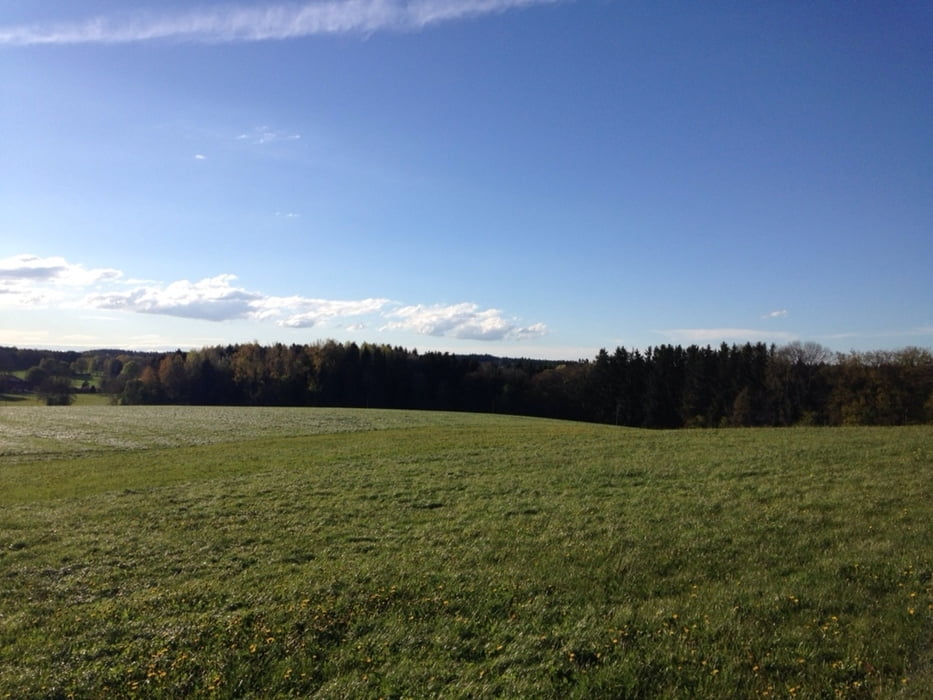
Es geht über Forstwege und Wiesen durchs Ebersberger Land immer Richtung Süden nach BadAibling, Rosenheim und Simsee. Zurück Richtung Norden auf dem Inn Radweg nach Wasserburg. Etwas viel Teer und Asphalt für meinen Geschmack aber dafür schöne Landschaften und Aussichten.

Mein Einkehrtipp: Gasthaus Schmidmayer in Schwabering

Viel Spaß beim biken!


Tour map and elevation profile

  • Open Street Map
  • Google
Minimum height 431 m Maximum height 589 m Detailed view

More about the tour author

Hasenbaer
Member since 2013

Send private message

Comments

Von Markt Schwaben weg. Maps, Karten etc....

GPS tracks

Trackpoints
  • GPX / Garmin Map Source (gpx) download
  • TCX / Garmin Training Center® (tcx) download
  • CRS / Garmin Training Center® (crs) download
  • Google Earth (kml) download
  • G7ToWin (g7t) download
  • TTQV (trk) download
  • Overlay (ovl) download
  • Fugawi (txt) download
  • Kompass (DAV) Track (tk) download
  • Track data sheet (pdf) download
  • Original file of the author (gpx) download

More about the tour author

Hasenbaer
Member since 2013

Send private message
Share track
Add to my favorites
Remove from my favorites
Edit tags
My score
Rate
Track: Über Stock, Stein und Asphalt- Dahoam is Dahoam
Type: Mountain bike
Distance: 142,0 km
Evaluated on:
Duration:
Day(s)
Hour(s)
Minute(s)
Score: Landscape Fun factor Fitness Technique