
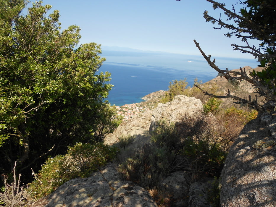

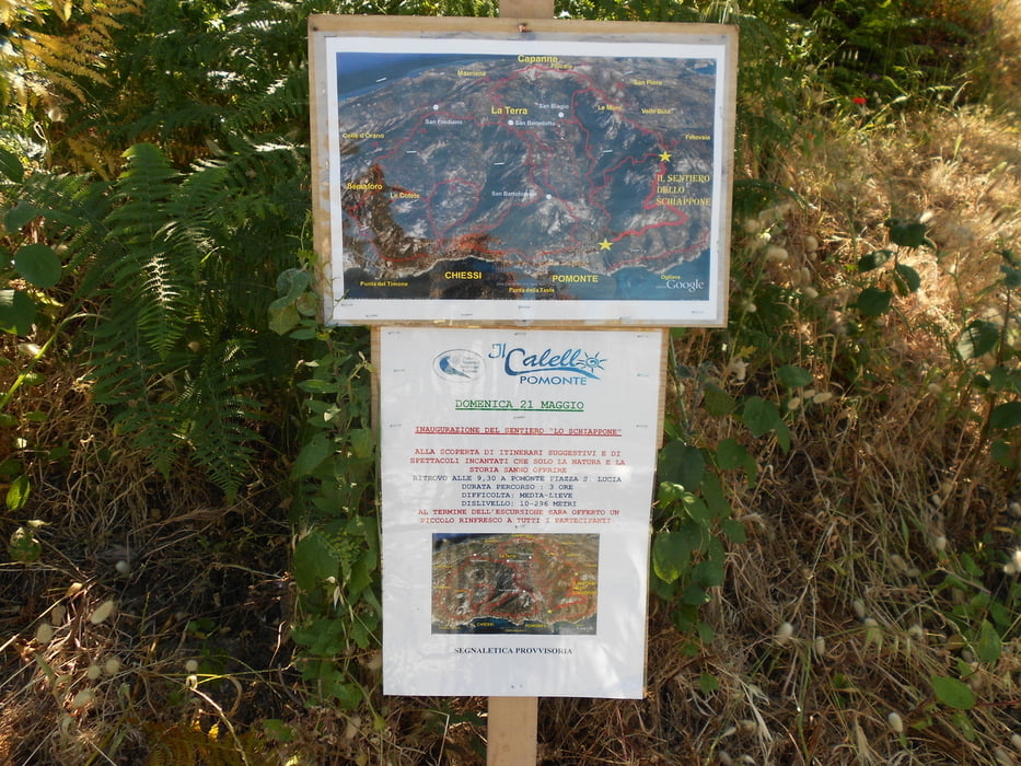
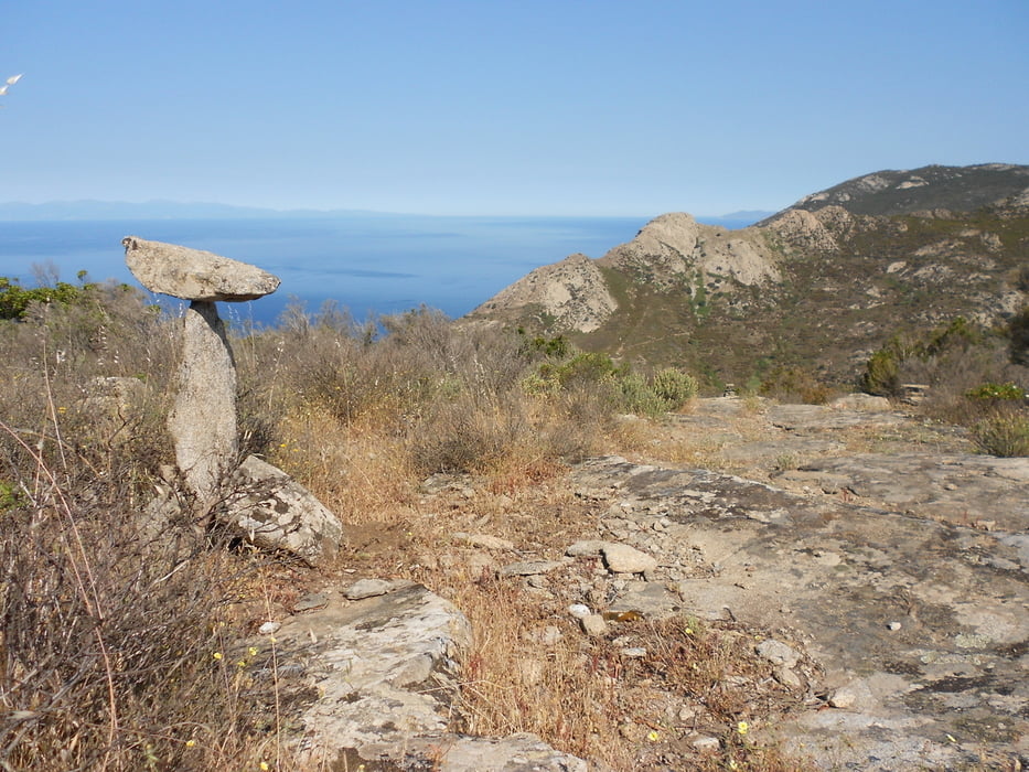
Lasciata l'auto sul parcheggio poco prima di entrare a Pomonte , si prosegue per breve tratto su asfalto fino al ponticello dove è segnato il sentiero 31. Dietro la chiesa c'è una fontana con acqua potabile, negozi di alimentari e verso il mare una ottima gelateria. Ma noi lasciamo il gelato per il fine giro e risaliamo per il sentiero 31, a tratti ripido ma ombreggiato. Dopo circa 2,5 km si incrocia sulla destra il sentiero che porta prima al monte schiappone (deviazione verso il punto panoramico compresa nella traccia gps) e poi all'abitato di Pomonte. Discesa con un panorama a dir poco spettacolare. Macchina fotografica e bagno in mare ( nei pressi del relitto) entrambi obbligatori!
Further information at
https://it.wikipedia.org/wiki/ElviscotTour gallery
Tour map and elevation profile
Minimum height 22 m
Maximum height 447 m
More about the tour author

|
mikyross |
Comments

italia toscana livorno isola d'elba marciana pomonte
GPS tracks
Trackpoints-
GPX / Garmin Map Source (gpx) download
-
TCX / Garmin Training Center® (tcx) download
-
CRS / Garmin Training Center® (crs) download
-
Google Earth (kml) download
-
G7ToWin (g7t) download
-
TTQV (trk) download
-
Overlay (ovl) download
-
Fugawi (txt) download
-
Kompass (DAV) Track (tk) download
-
Track data sheet (pdf) download
-
Original file of the author (gpx) download
More about the tour author
|
|
mikyross |
Add to my favorites
Remove from my favorites
Edit tags
Open track
My score
Rate