
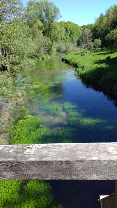

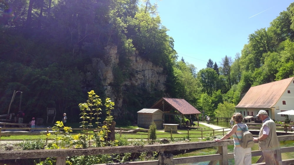
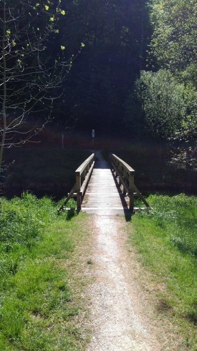
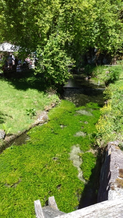
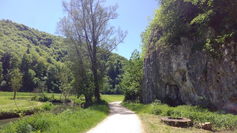
Die Tour startet am Wanderparkplatz auf dem Traifelberg und es geht über Kohlstetten, Offenhausen ins schöne Große Lautertal. Entlang der Burgen des Großen Lautertals geht es bis nach Indelhausen und dann Richtung Hayingen. Nachdem Sie Hayingen durchquert haben, kommen Sie zur Wimsener Höhle, die als einzige Höhle in Deutschland nur mit dem Boot befahren werden kann. Weiter geht es auf die Albhochfläche und nach Ödenwaldstetten zum Bauernhausmuseum oder zur Hausbrauerei Speidel. Die Tour geht weiter zrück zum Startpunkt.
Tour gallery
Tour map and elevation profile
Minimum height 541 m
Maximum height 782 m
More about the tour author
|
|
Blazer_x |
Comments

GPS tracks
Trackpoints-
GPX / Garmin Map Source (gpx) download
-
TCX / Garmin Training Center® (tcx) download
-
CRS / Garmin Training Center® (crs) download
-
Google Earth (kml) download
-
G7ToWin (g7t) download
-
TTQV (trk) download
-
Overlay (ovl) download
-
Fugawi (txt) download
-
Kompass (DAV) Track (tk) download
-
Track data sheet (pdf) download
-
Original file of the author (gpx) download
More about the tour author
|
|
Blazer_x |
Add to my favorites
Remove from my favorites
Edit tags
Open track
My score
Rate