


Kleiner Runde Weipert mit herrlichen Aussichten
8 km - 1,5h
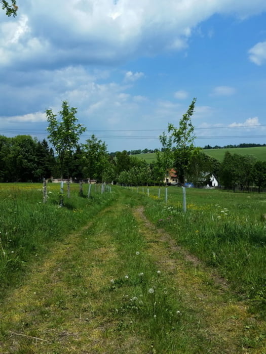
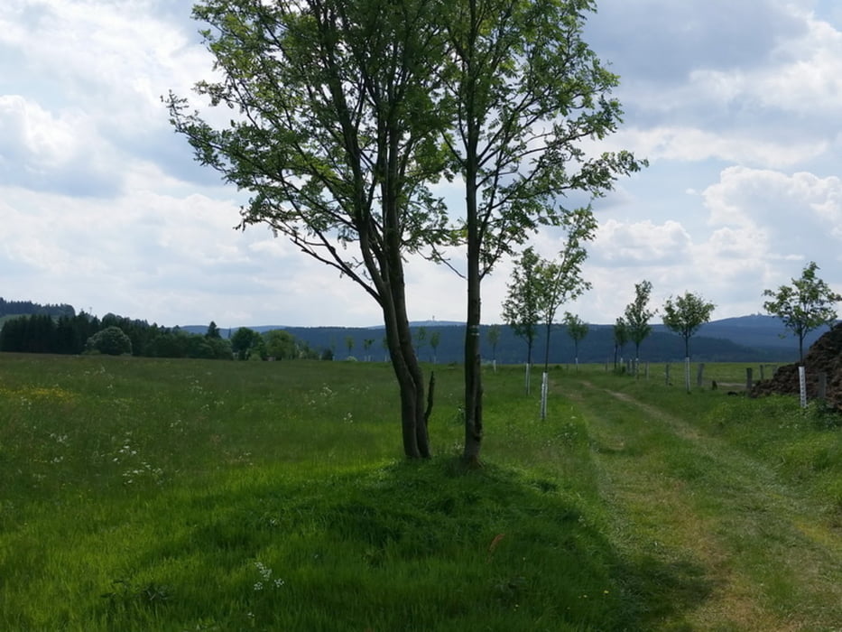
Start beim Friedhof von Weipert.
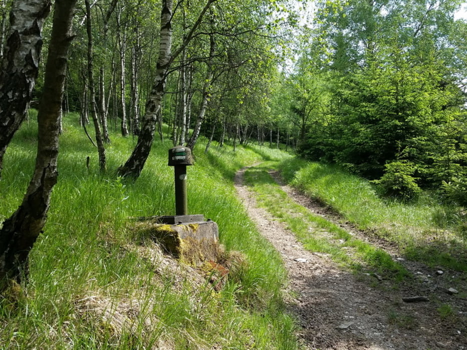
Wir laufen auf dem Weg mit der Markierung weiß-grün-weiß.
Ich bin begeistert von den herrlichen Aussichten auf den Bärenstein mit Pöhlberg oder den Keilberg mit Fichtelberg.
Fazit:
-sehr empfehlenswert
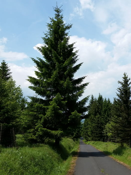
Tour gallery
Tour map and elevation profile
Minimum height 770 m
Maximum height 914 m
More about the tour author
|
|
Stummi |
Comments

GPS tracks
Trackpoints-
GPX / Garmin Map Source (gpx) download
-
TCX / Garmin Training Center® (tcx) download
-
CRS / Garmin Training Center® (crs) download
-
Google Earth (kml) download
-
G7ToWin (g7t) download
-
TTQV (trk) download
-
Overlay (ovl) download
-
Fugawi (txt) download
-
Kompass (DAV) Track (tk) download
-
Track data sheet (pdf) download
-
Original file of the author (gpx) download
More about the tour author
|
|
Stummi |
Add to my favorites
Remove from my favorites
Edit tags
Open track
My score
Rate