


Start der Tour ist der Campingplatz Miralago am Nordufer des Idrosees.
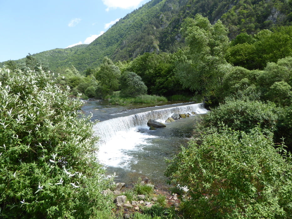
Wir fahren auf dem Radweg und teils auf der SP69 bis nach Storo. Kurz nach Storo lädt ein Wasserfall zum Verweilen ein. Auch ein kleiner Kinderspielplatz ist hier vorhanden.
Von hier aus bleiben wir auf dem gut ausgebauten Radweg bis Pieve di Bono Creto.
Leider hört hier der Radweg auf und wir haben uns auf der SS237 bis zur Abzweigung zum Val Daone hochgeschraubt.
Weiter geht’s auf der SP27 ins Val Daone.
Das Val Daone selbst ist eine Tagestour. Man kann dort hinauf fahren bis zum Lago di Malga Bissina. Ein herrlicher Blick auf die Adamello-Gruppe ist dort zu erhaschen. Wir haben aber nur ein klein wenig ins Tal hineingeschnuppert und es dann durch einen „Naturpark“ über Bersone verlassen. Val Daone ... wir werden wiederkommen :-)
Bei Pieve di Bono gelangen wir wieder auf den Radweg, retour zum Campingplatz Miralago.
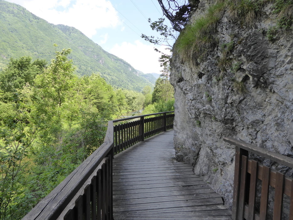
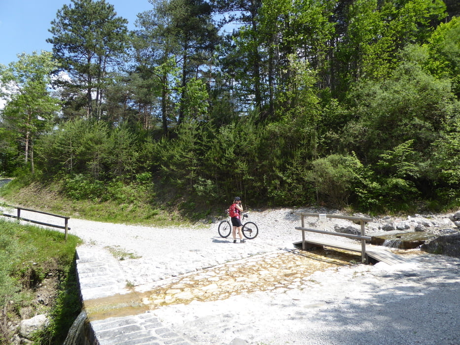
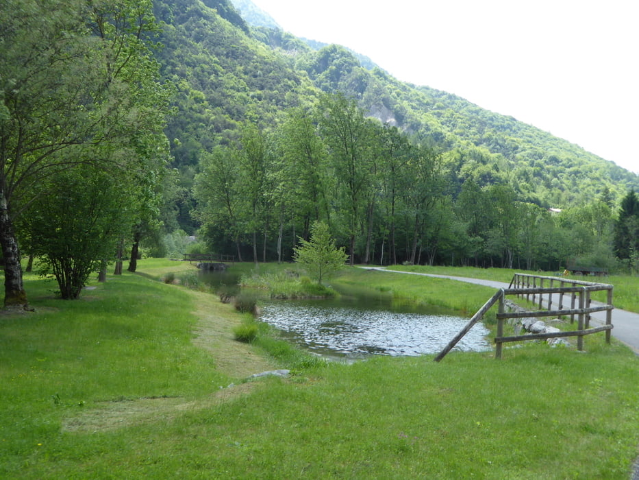
Tour gallery
Tour map and elevation profile
Minimum height 363 m
Maximum height 819 m
More about the tour author
|
|
Hoar |
Comments

GPS tracks
Trackpoints-
GPX / Garmin Map Source (gpx) download
-
TCX / Garmin Training Center® (tcx) download
-
CRS / Garmin Training Center® (crs) download
-
Google Earth (kml) download
-
G7ToWin (g7t) download
-
TTQV (trk) download
-
Overlay (ovl) download
-
Fugawi (txt) download
-
Kompass (DAV) Track (tk) download
-
Track data sheet (pdf) download
-
Original file of the author (gpx) download
More about the tour author
|
|
Hoar |
Add to my favorites
Remove from my favorites
Edit tags
Open track
My score
Rate