


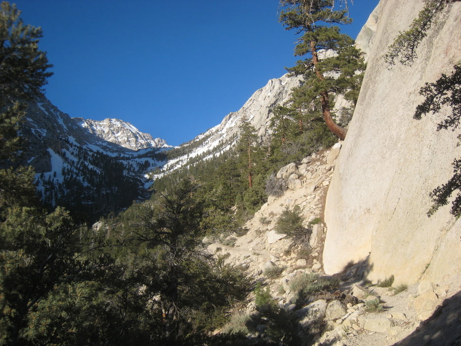
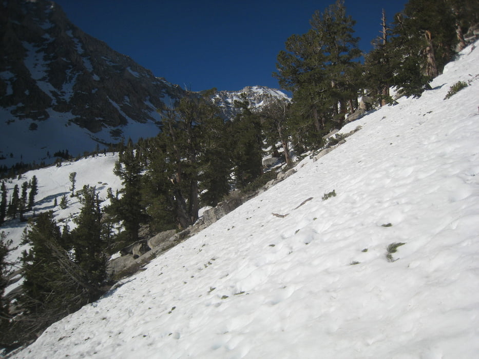
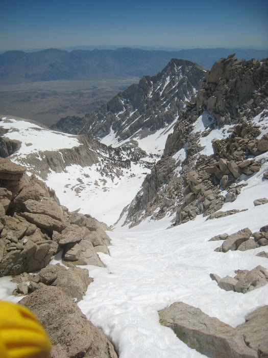
Von der Whitney portal Straße durch den Campingplatz zum Meysan Lake trail. wo der trail das zweite mal rechts ansteigt nach wenigen Kehren links hinaus auf Schneezunge queren von hier mit Skiern weiter. Zunächst die Schneezunge etwas hinauf dann den Hang längere Zeit leicht ansteigend querend, wobei man ein paar Felsen und aperen Stelle unter den Bäumen ausweichen muss. Dann durch die von rechts herabziehende Mulde weiter ansteigen bis unter das Mt. Irvine Nordost couloir. Das Couloir empor bis uzu Sattel. Abfahrt wie Aufstieg
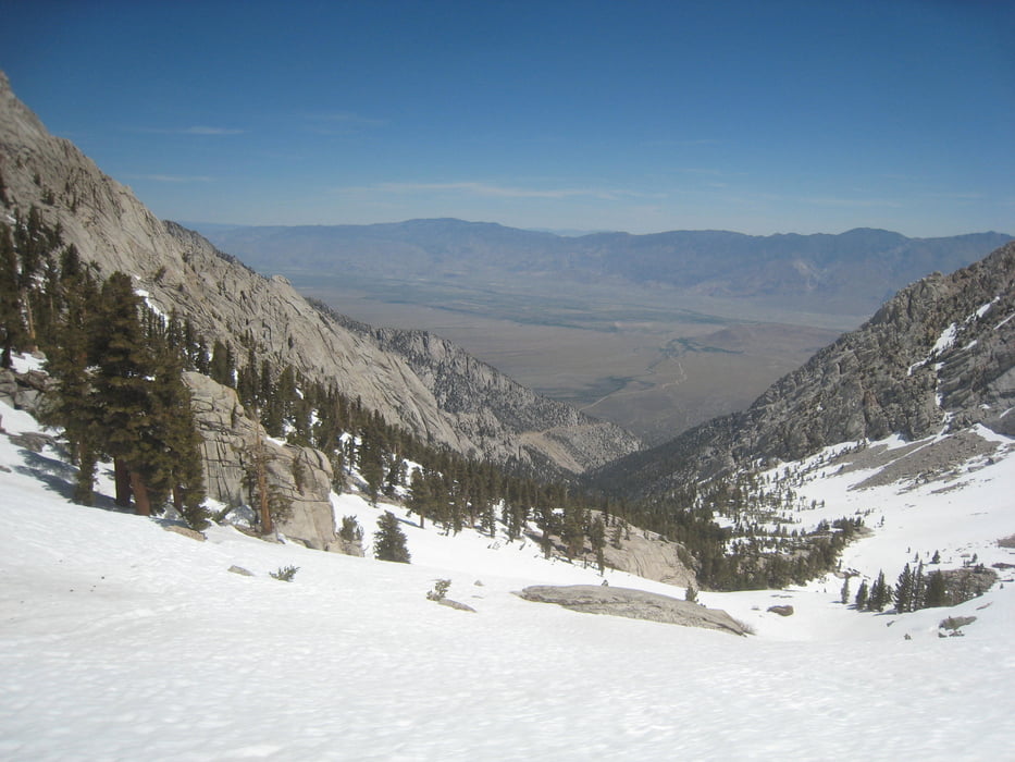
Alternative Abfahrt: auf der anderen Seite hinab zum Consultaion lake. (Schnee weicht dort nicht so schnell auf und erlaubt weitere Abfahrt ins Tal
Tourdatum: 23.5. im Rekordschneejahr 2017
Tour gallery
Tour map and elevation profile
Minimum height 2394 m
Maximum height 4165 m
More about the tour author

|
Gi |
Comments

Von der Rt. 395 in Lone pine abbiegen auf die Whitney-Portal Road. An der Straße bei der mittleren Campingplatzeinfahrt parken (Schild Meysan Lakes trail)
GPS tracks
Trackpoints-
GPX / Garmin Map Source (gpx) download
-
TCX / Garmin Training Center® (tcx) download
-
CRS / Garmin Training Center® (crs) download
-
Google Earth (kml) download
-
G7ToWin (g7t) download
-
TTQV (trk) download
-
Overlay (ovl) download
-
Fugawi (txt) download
-
Kompass (DAV) Track (tk) download
-
Track data sheet (pdf) download
-
Original file of the author (gpx) download
More about the tour author
|
|
Gi |
Add to my favorites
Remove from my favorites
Edit tags
Open track
My score
Rate