
 North Lake Campground")

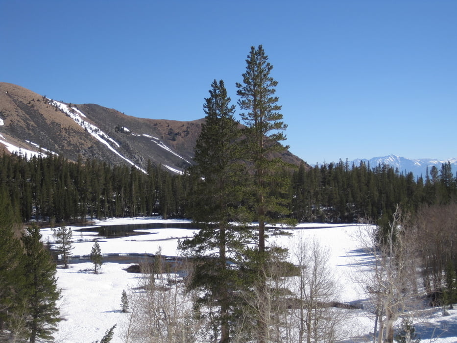
Vom North Lake dem Lamarck Col Trail folgen, eine Stufe in unübersichtlichem Gelände hinauf zum Grass lake (evtl. auch weiter rechts halten in Richtung upper Lamarck Lake). Vom ende des Grass Lakes dem Talgrund in mehreren Stufen hinauf folgen und weiter in das Tal das von der Steilstufe beim upper Lamarck Lake hinaufzieht einqueren und durchs Tal weiter zur Gipfelflanke. Durch die Gipfelflanke zum Gipfel.
Tourdatum 26.5.( im Rekordschneejahr 2017)
Tour gallery
Tour map and elevation profile
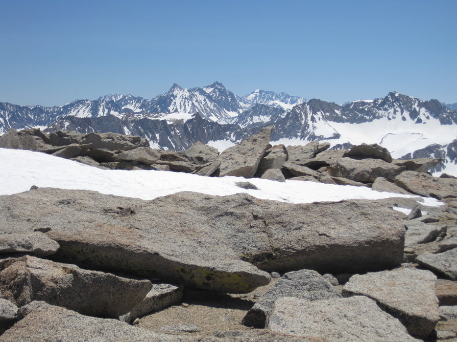
Minimum height 2824 m
Maximum height 4076 m
More about the tour author

|
Gi |
Comments

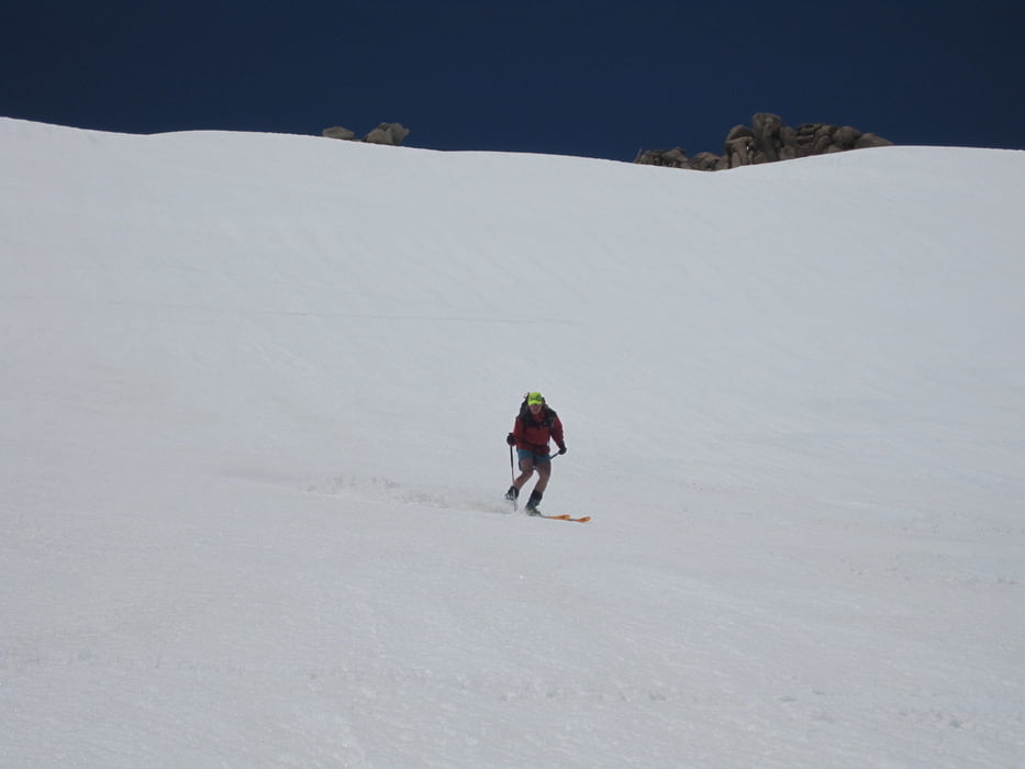
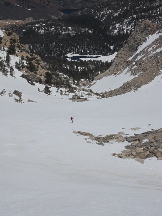
Abfahrt oben wie Aufstieg, unten kann man sich rechts halten und die bessere Schneelage auf der geschützten Nordseite des Tales ausnutzen. Man erreicht die Straße direkt bei der brück eüber den Bach.
GPS tracks
Trackpoints-
GPX / Garmin Map Source (gpx) download
-
TCX / Garmin Training Center® (tcx) download
-
CRS / Garmin Training Center® (crs) download
-
Google Earth (kml) download
-
G7ToWin (g7t) download
-
TTQV (trk) download
-
Overlay (ovl) download
-
Fugawi (txt) download
-
Kompass (DAV) Track (tk) download
-
Track data sheet (pdf) download
-
Original file of the author (gpx) download
More about the tour author
|
|
Gi |
Add to my favorites
Remove from my favorites
Edit tags
Open track
My score
Rate