


- Rundkurs im Uhrzeigersinn
- Start/Ziel: Don/Nonstal
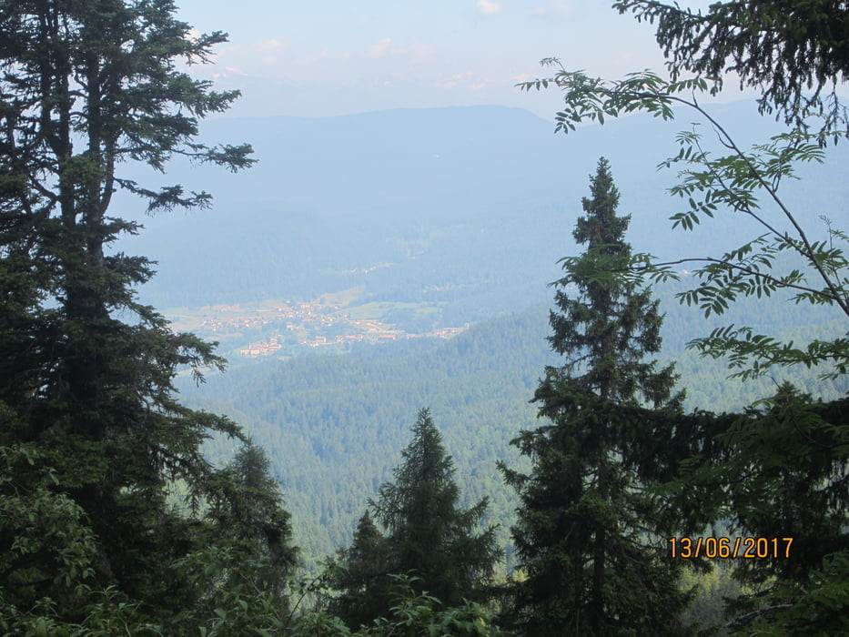
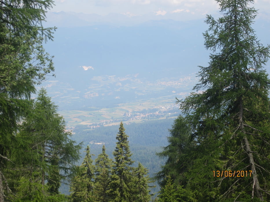
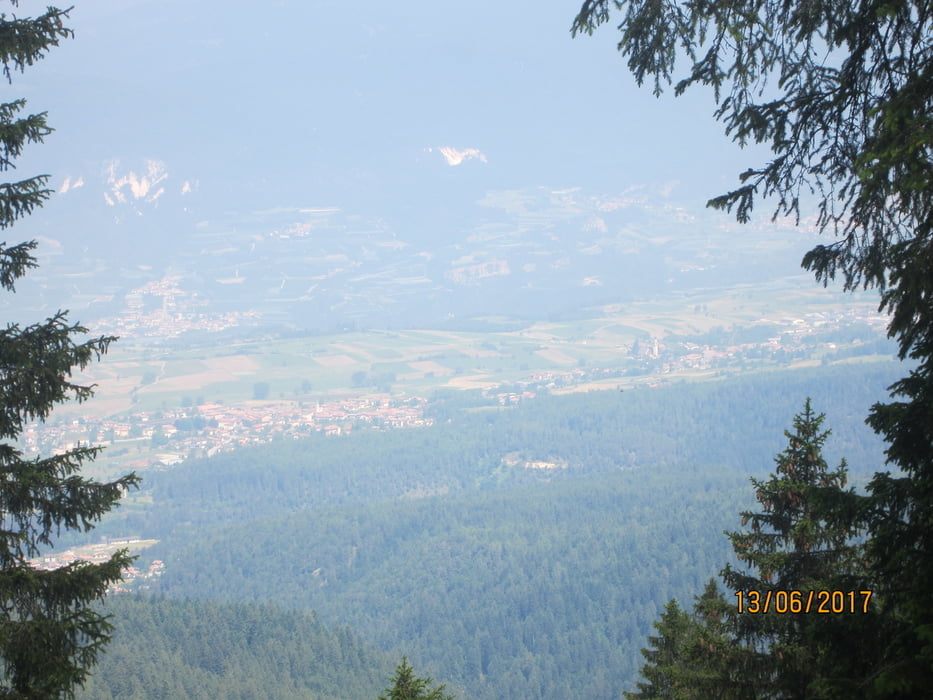
- Von Don (MH 970) auf angenehm ansteigender Forststrasse/Asfalt bis (KM 7,6-MH 1.438). Weiter auf Schotter bis zur "Malga Romeno" (KM 11,5-MH 1.760). PS. Von KM 9-9,8 Beton/mittelsteil+. Der Aufstieg verläuft im Schatten eines Mischwaldes.
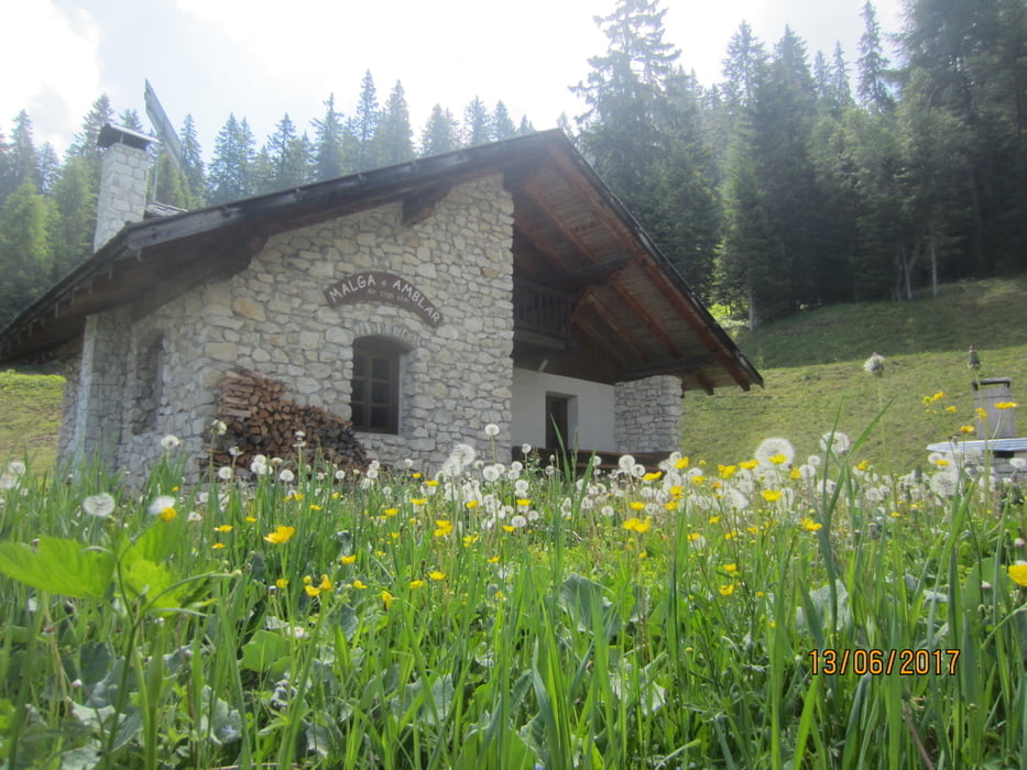
- Auf Forstweg weiter bis zur "Malga Amblar" (KM 13,2-MH 1.730). Es folgt die "Malga San Zeno" (KM 15,6-MH 1.609). Die Abfahrt ins Tal, zurück zum Ausgangspunk, nach "Don" (KM 19,9 - MH 970) erfolgt auf Schotter, mit einigen etwas steileren Abschnitten.
- PS. Bewirtung nur auf der "Malga Romeno".
Tour gallery

Tour map and elevation profile
Minimum height 956 m
Maximum height 1771 m
More about the tour author
|
|
MargesinFriedrich |
Comments

GPS tracks
Trackpoints-
GPX / Garmin Map Source (gpx) download
-
TCX / Garmin Training Center® (tcx) download
-
CRS / Garmin Training Center® (crs) download
-
Google Earth (kml) download
-
G7ToWin (g7t) download
-
TTQV (trk) download
-
Overlay (ovl) download
-
Fugawi (txt) download
-
Kompass (DAV) Track (tk) download
-
Track data sheet (pdf) download
-
Original file of the author (gpx) download
More about the tour author
|
|
MargesinFriedrich |
Add to my favorites
Remove from my favorites
Edit tags
Open track
My score
Rate