


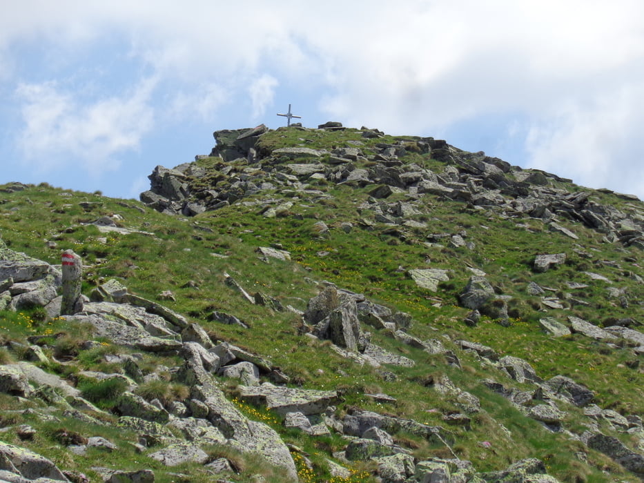
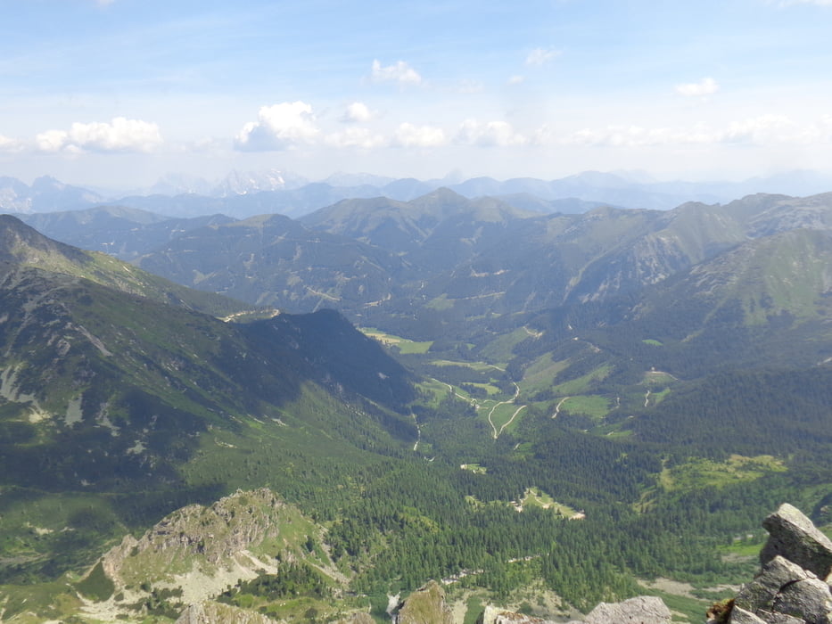
Von der Bergerhube entlang des markierten Weges 902 hinauf zu den Mödringhütten. Etwas oberhalb ist die Abzweigung (1 Std.). Links steil durch den Wald hinauf Richtung Königin. Zwei Geländestufen werden überwunden und vor dem Mödringer Törl liegt ein kleiner See (1 Std.). Hier wieder links durch die Steilrinne hinauf auf den Grat und nochmals links kurz darauf zum Gipfel (1 Std.).
Abstieg am Besten auf dem Anstiegsweg.
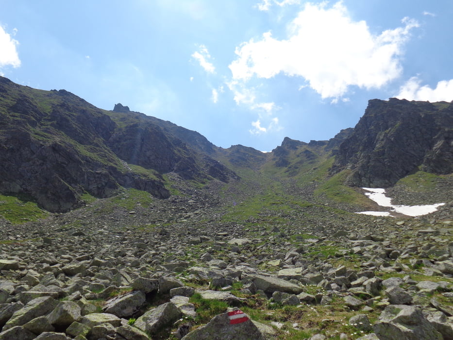
ACHTUNG: Ich bin vom See weglos Richtung Knaudachtörl gegangen und dann auf dem Weg 902 wieder hinunter. Nicht zu empfehlen!!!
Tour gallery
Tour map and elevation profile
Minimum height 1199 m
Maximum height 2388 m
More about the tour author

|
JoHangler |
Comments

Auf der A9 bis Trieben, dann Richtung Hohentauern. Beim GH Brodjäger links ins Triebental bis zum Talschluss bei der Bergerhube.
GPS tracks
Trackpoints-
GPX / Garmin Map Source (gpx) download
-
TCX / Garmin Training Center® (tcx) download
-
CRS / Garmin Training Center® (crs) download
-
Google Earth (kml) download
-
G7ToWin (g7t) download
-
TTQV (trk) download
-
Overlay (ovl) download
-
Fugawi (txt) download
-
Kompass (DAV) Track (tk) download
-
Track data sheet (pdf) download
-
Original file of the author (gpx) download
More about the tour author
|
|
JoHangler |
Add to my favorites
Remove from my favorites
Edit tags
Open track
My score
Rate