


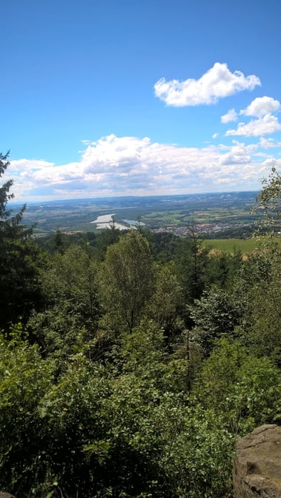
Die Tour von Katsdorf ausgehend über Schweinbach nach Gallneukirchen. Auffahrt nach Altenberg über das Mirellental. Herrlich Wege führen uns von Altenberg nach Hellmonsödt und weiter nach Kirchschlag. Coole Abfahrt und Auffahrt auf die GIS. Der Weg führt weiter von der GIS nach Neulichtenberg und von dort über Wanderweg 5 auf die Koglerauerspitze zum schönen Gipfelkreuz und Donaublick auf das Kraftwerk Ottensheim. Vom Koglerauerspitz steiler Downhill zum Köglerhof. Gute Bewirtung und Stärkung beim Köglerhof. Über Trails und steilen Weg zurück nach Neulichtenberg und von dort geile Trails bis nach Linz (Orientierung Wanderweg 144') Vom Bachlberg nach St. Magdalena und über die Pferdeeisenbahn bis Mittertreffling, danach über den Haidberg zurück nach Katsdorf!!
Tour gallery
Tour map and elevation profile
Minimum height 286 m
Maximum height 891 m
More about the tour author
|
|
fruehwha |
Comments

GPS tracks
Trackpoints-
GPX / Garmin Map Source (gpx) download
-
TCX / Garmin Training Center® (tcx) download
-
CRS / Garmin Training Center® (crs) download
-
Google Earth (kml) download
-
G7ToWin (g7t) download
-
TTQV (trk) download
-
Overlay (ovl) download
-
Fugawi (txt) download
-
Kompass (DAV) Track (tk) download
-
Track data sheet (pdf) download
-
Original file of the author (gpx) download
More about the tour author
|
|
fruehwha |
Add to my favorites
Remove from my favorites
Edit tags
Open track
My score
Rate