


Dit is de zesde dag van de fietstocht langs de Hadrianus muur en Wainwrights Coast to coast route. De low budget route gaat van camping naar camping. Het gedeelte langs de Hadrianus muur volgt de National Cycle Route 72 tot Carlisle. Na Carlisle buigt de track in richting van St. Bees, het startpunt van Wainwrights coast to coast van de Ierse zee naar de Noordzee.. Deze coast to coast route is van oorsprong een wandelpad. Ik heb geprobeerd om fietspaden en stille wegen op te nemen die zo dicht mogelijk bij de wandelroute liggen.
This is the sixth day of the cycle route along the Hadrian's Wall and Wainwrights Coast tot Coast.
The low budget route goes from campsite to campsite . The part along the Hadrian's Wall follows the National Cycle Route 72 till Carlisle. After Carlisle the track bends in the direction of St. Bees the starting point of Wainwrights Coast to Coast from the Irish sea to the North sea. This coast to coast route is a walking route. I tried to use cyclingpaths and quiet roads that are situated as near as possible to the walkingroute.
Tour gallery

Tour map and elevation profile
Minimum height 99999 m
Maximum height -99999 m
More about the tour author

|
partnair |
Comments

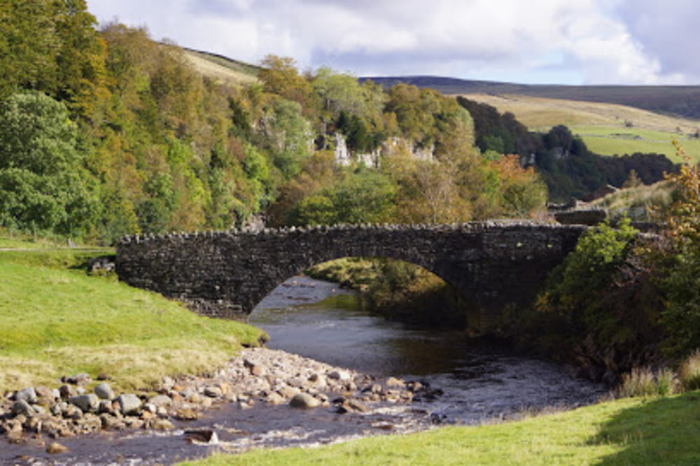
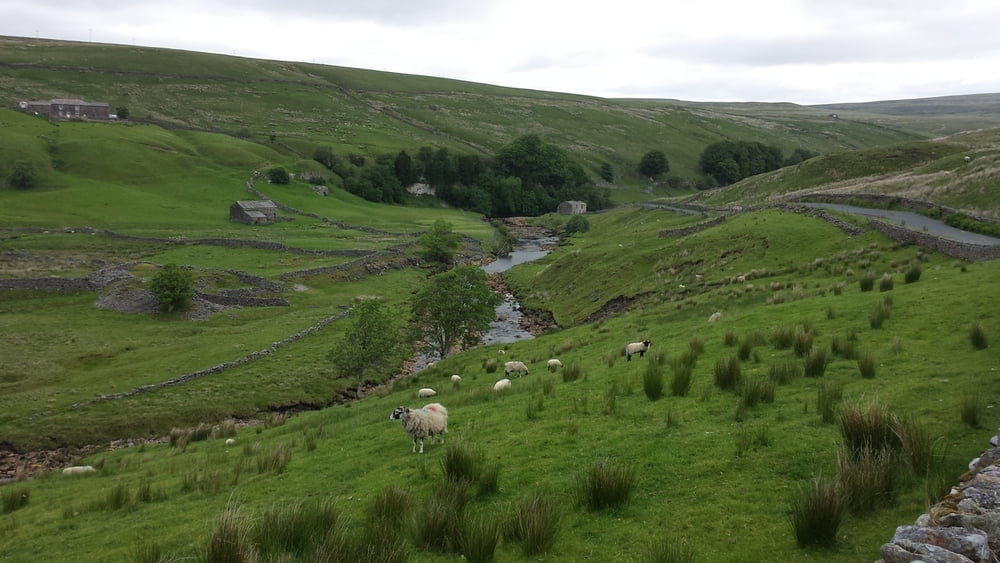
Op deze dag kun je het rustig aan doen. Hoewel.... 5 km na het verlaten van Kirkby Stephen krijg je te maken met een steile helling van tussen de 17 à 20%. Je stijgt 100 meter over een afstand van 500 meter. Al snel na het overwinnen van deze col kom je in de buurt van de Swale rivier, waardoor de weg milder wordt. Na Keld verandert je fiets in een motorfiets want van daaruit gaat het hoofdzakelijk bergaf tot Richmond. Er is genoeg tijd om te genieten van dit prachtige gebied in het Yorkshire dales National Park.. In Keld is een café waar je in de namiddag even kunt genieten van een drankje. Stap zo nu en dan even af om het dal van de Swale in je op te nemen. Zo mooi.
In Richmond kun je boodschappen doen bij de Coop op het centrale plein. Er zijn goede restaurants en zin in fish and chips? Er is een goede fish and chips shop aan de hoofdstraat die door Richmond loopt.
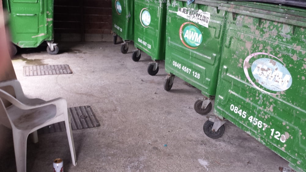
De camping ligt buiten Richmond in Brompton on Swale. Er zijn nauwelijks voorzieningen voor hikers en Bikers. Om uit de wind of regen te zitten kun je terecht bij de vuilniscontainers.
On this day you can take it easy. Altough .... 3 miles after Kirby Stephen you will have to deal with a steep hillslope between 17 à 20%. You will climb 100 yards over 500 yards. Soon after concurring this "col" you will reach the Swale river. The track becomes milder. After Keld your bicycle will turn into a motorbike, because from there it goes mainly downhill till Richmond. There is plenty of time to enjoy this beautifull region; Yorkshire dales National park.
In Keld is a café that opens at noon. Step off your bike so now and then to take a good look at the Swale dale. So nice.
In Richmond there are plenty of shops. You can buy your food at Coop on the central square of Richmond. There are some good restaurants and do you fancy fish and chips? Go to the main street that goes through Richmond.
The campsite is outside Richmond at Brompton on Swale. There are barely accomodation for Hikers and Bikers. To shelter for rain and wind you can sit near the garbidge bins.
GPS tracks
Trackpoints-
GPX / Garmin Map Source (gpx) download
-
TCX / Garmin Training Center® (tcx) download
-
CRS / Garmin Training Center® (crs) download
-
Google Earth (kml) download
-
G7ToWin (g7t) download
-
TTQV (trk) download
-
Overlay (ovl) download
-
Fugawi (txt) download
-
Kompass (DAV) Track (tk) download
-
Track data sheet (pdf) download
-
Original file of the author (gpx) download
More about the tour author
|
|
partnair |
Add to my favorites
Remove from my favorites
Edit tags
Open track
My score
Rate