Login

Forgot your login?

Cookies have to be accepted!
Your browser's cookie functionality is disabled. Please enable this functionality.

Not a member yet?

Register now
Login

Available for registred users only

Log in to use this feature.

Forgot your login?

Cookies have to be accepted!
Your browser's cookie functionality is disabled. Please enable this functionality.

Not a member yet?

Register now
Filter
Categories
Advanced filters
  • Distance (km)
  • Height
Save filters Reset filter

TrackRank

QRCode

Technical data

Distance13,0 km Height49 m Way down56 m Duration02:30 h:m Date08.07.2017
Scores Author Landscape Fun factor Fitness Technique

Statistics

248 Views Scores 36 Downloads Average
Rate
  • Track data sheet
  • Directions
  • Downloads

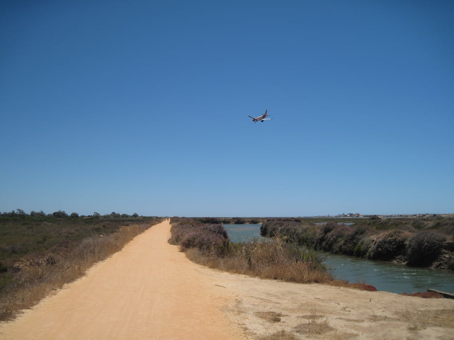
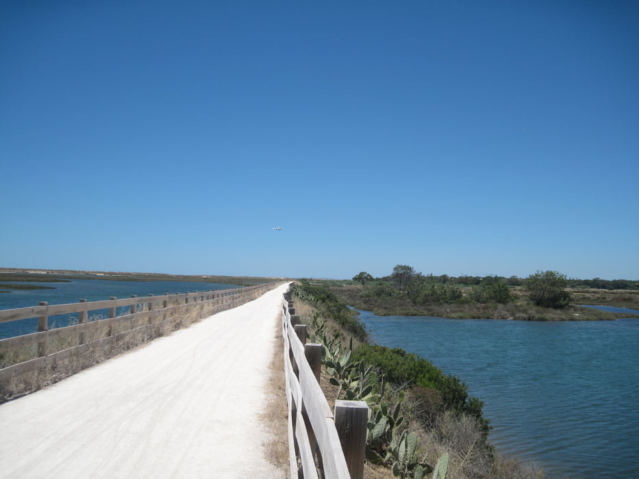
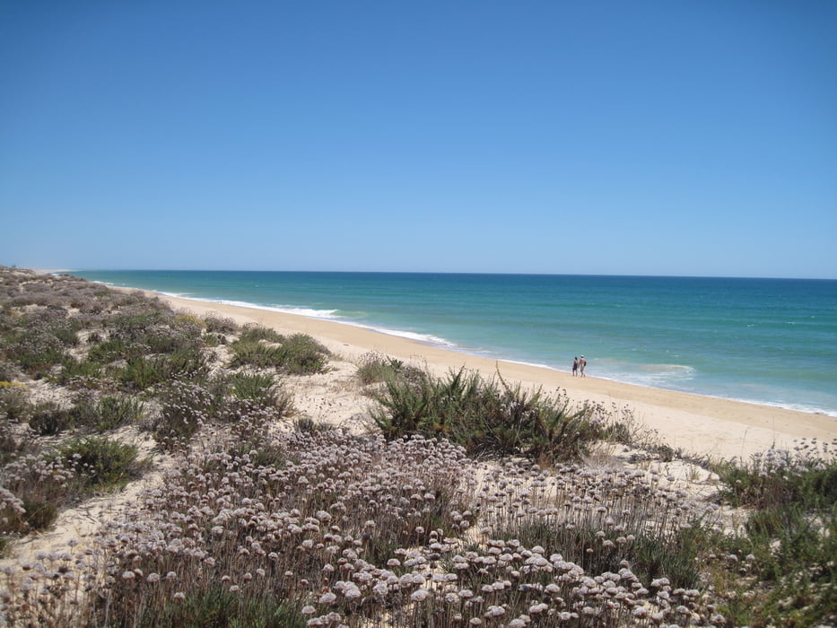
Durch Naturfschutzgebiet am See entlang bis zum Zaun Einflugschneise vom Flughafen von Faro. Rückweg dann entlang vom Strand.

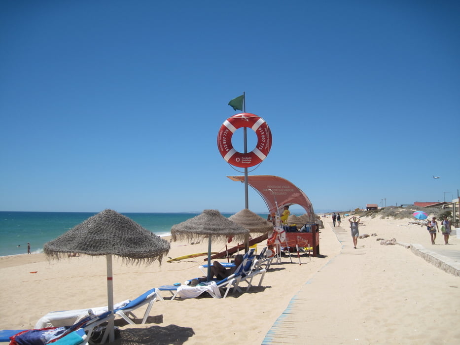
Enkehrmöglichkeiten: Strandcafe

Tour gallery

Tour map and elevation profile

  • Open Street Map
  • Google
Minimum height -10 m Maximum height 18 m Detailed view

More about the tour author

JoachimDief
Member since 2016

Send private message

Comments

Parkplatz hinter Hotel Quinta do Lago; Holzbrücke.

GPS tracks

Trackpoints
  • GPX / Garmin Map Source (gpx) download
  • TCX / Garmin Training Center® (tcx) download
  • CRS / Garmin Training Center® (crs) download
  • Google Earth (kml) download
  • G7ToWin (g7t) download
  • TTQV (trk) download
  • Overlay (ovl) download
  • Fugawi (txt) download
  • Kompass (DAV) Track (tk) download
  • Track data sheet (pdf) download
  • Original file of the author (gpx) download

More about the tour author

JoachimDief
Member since 2016

Send private message
Share track
Add to my favorites
Remove from my favorites
Edit tags
My score
Rate
Track: Quinta do Lago; durch Naturschutzgebiet und Strand
Type: Hiking
Distance: 13,0 km
Evaluated on:
Duration:
Day(s)
Hour(s)
Minute(s)
Score: Landscape Fun factor Fitness Technique