


Gatschach-Jadersdorfer Alm-Jadersdorf-Guggenberg-
Gh Preßlauer-Rattendorf-Hermagor-Radniger Alm-
Hermagorer Bodenalm-Paterzipf-Gatschach
3 kurze Schiebepassagen (2x Guggenberg, 1x nach Radniger Alm). Abfahrt von Jadersdorfer Alm tw steil und grobschottrig, aufpassen! Auffahrt auf Radniger Alm oft mit losem Schotter und am späten Nachmittag noch ziemlich heiß - kraftraubend.
3 kurze Schiebepassagen (2x Guggenberg, 1x nach Radniger Alm). Abfahrt von Jadersdorfer Alm tw steil und grobschottrig, aufpassen! Auffahrt auf Radniger Alm oft mit losem Schotter und am späten Nachmittag noch ziemlich heiß - kraftraubend.
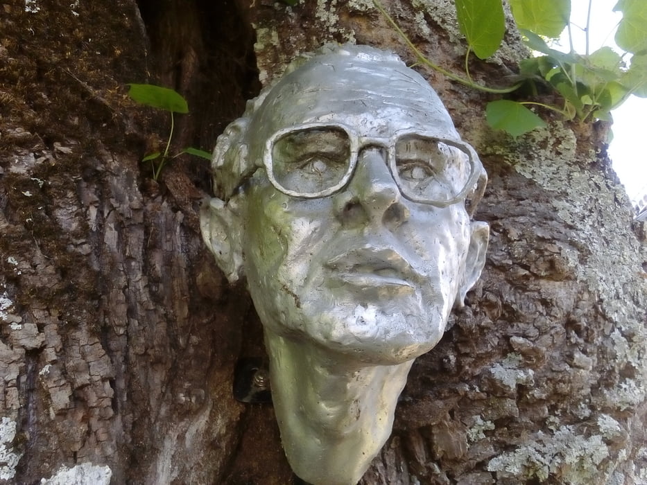
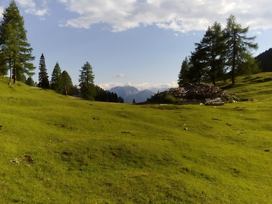
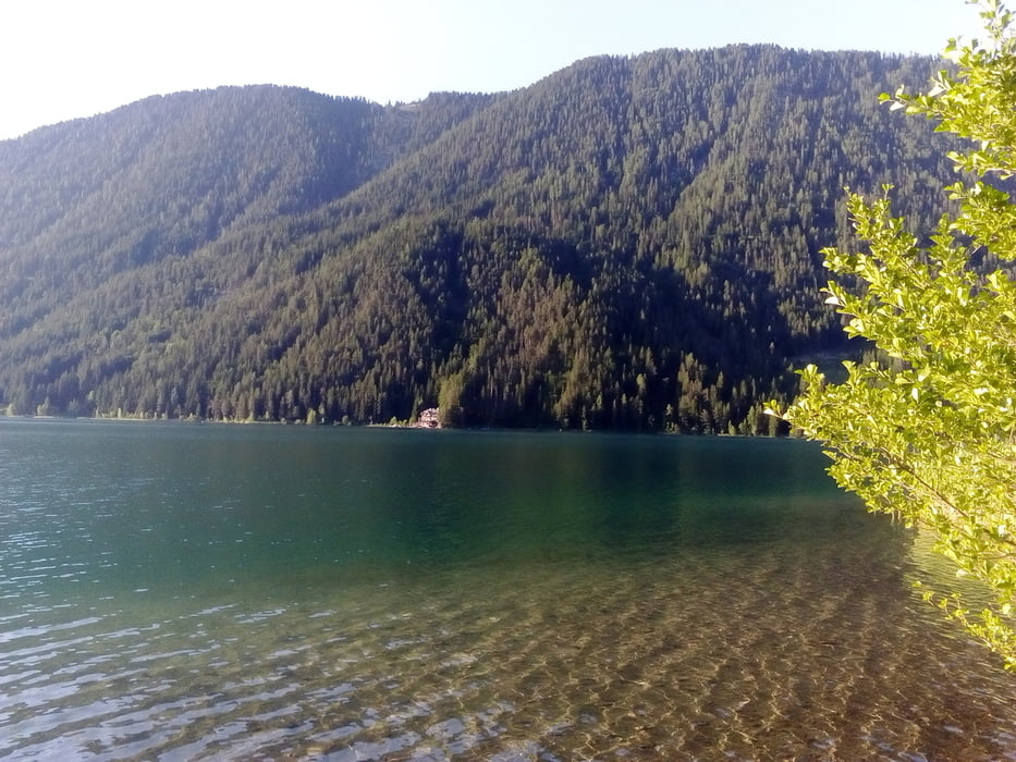
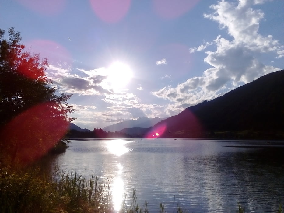
Tour gallery
Tour map and elevation profile
Minimum height 622 m
Maximum height 1566 m
More about the tour author
|
|
mitter |
Comments

Start in Gatschach am Weißensee.
GPS tracks
Trackpoints-
GPX / Garmin Map Source (gpx) download
-
TCX / Garmin Training Center® (tcx) download
-
CRS / Garmin Training Center® (crs) download
-
Google Earth (kml) download
-
G7ToWin (g7t) download
-
TTQV (trk) download
-
Overlay (ovl) download
-
Fugawi (txt) download
-
Kompass (DAV) Track (tk) download
-
Track data sheet (pdf) download
-
Original file of the author (gpx) download
More about the tour author
|
|
mitter |
Add to my favorites
Remove from my favorites
Edit tags
Open track
My score
Rate