


Gatschach-Kreuzbergsattel-Weißbriach-Möselalm-Stranig-
Straniger Alm-Kordinsattel-Lanze-Rattendorfer Alm-
Rattendorf-Hermagor-Kreuzbergsattel-Gatschach
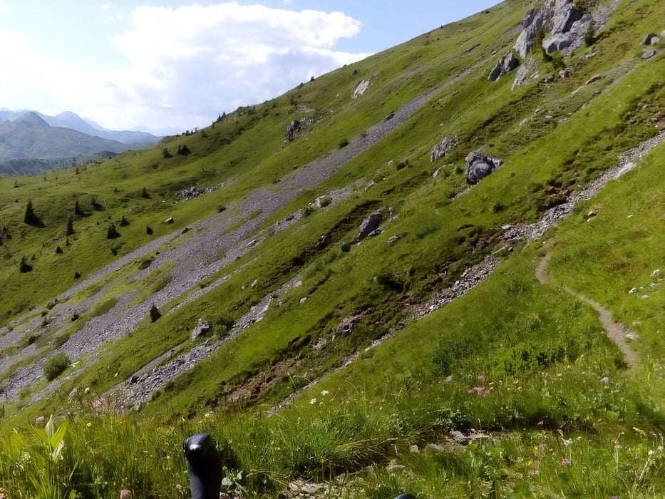
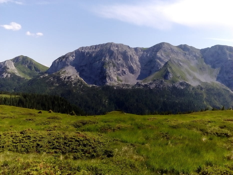
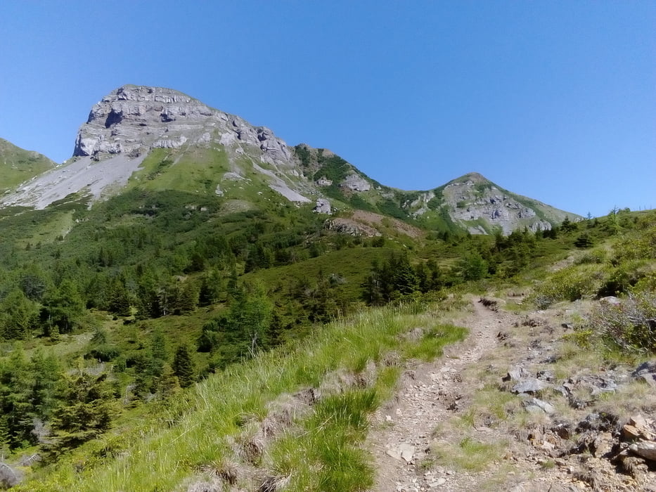
Wunderbare Tour mit sehr unterschiedlichen Landschaftsbildern. Die Karnischen sind einfach spektakulär! Der Höhenweg ist teils fahrbar, ich habe ca 1 Stunde geschoben zwischen Kordinsattel und Rattendorfer Alm. Retour wieder über Hermagor (Radweg), weil sich der Guggenberg zeitlich und kräftemäßig nicht mehr ausgegangen ist. Die Landung am Weißensee bei herrlichem Wetter ist dann noch das Tüpfelchen auf dem i.
Tour gallery
Tour map and elevation profile
Minimum height 640 m
Maximum height 1854 m
More about the tour author
|
|
mitter |
Comments

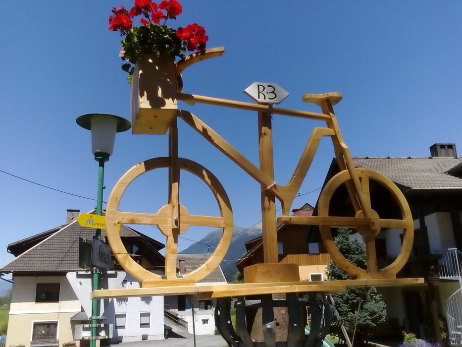
Start in Gatschach am Weißensee.
GPS tracks
Trackpoints-
GPX / Garmin Map Source (gpx) download
-
TCX / Garmin Training Center® (tcx) download
-
CRS / Garmin Training Center® (crs) download
-
Google Earth (kml) download
-
G7ToWin (g7t) download
-
TTQV (trk) download
-
Overlay (ovl) download
-
Fugawi (txt) download
-
Kompass (DAV) Track (tk) download
-
Track data sheet (pdf) download
-
Original file of the author (gpx) download
More about the tour author
|
|
mitter |
Add to my favorites
Remove from my favorites
Edit tags
Open track
My score
Rate