


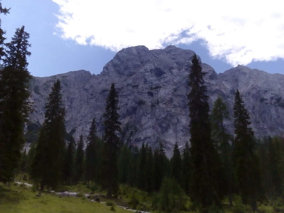
Gatschach-Kreuzwirt-Weisacher Alm-Proneben- E.T. Compton Hütte-Proneben-Gösseringtal-Kreuzbergsattel-
Oberdorf-Gatschach
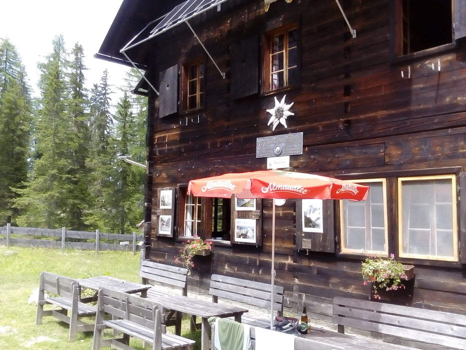
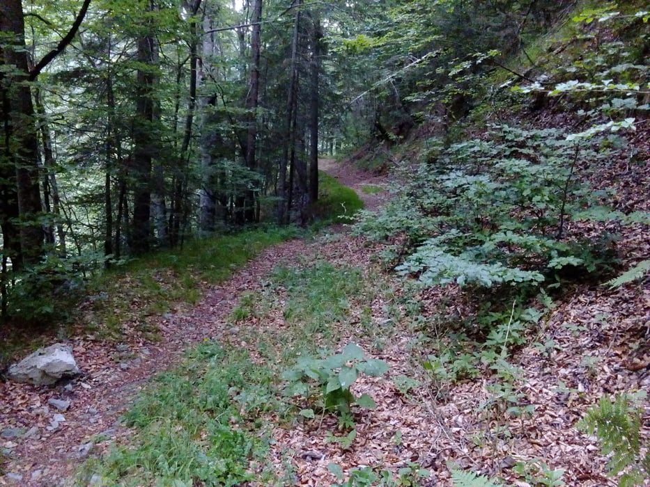
Neue Variante auf die Weisacher Alm ist gut fahrbar, ca 120 hm mehr. Bei der Compton Hütte gut eingekehrt, sehr nette Gesellschaft und gutes Essen. Runter vom Gösseringtal hab ich einen Verbindungsweg ("Plattenweg") rüber zur Weißenseer Straße genommen. Lässiger trail. Nach dem Kreuzbergsattel auch noch ein trail nach Oberdorf.
Tour gallery
Tour map and elevation profile
Minimum height 931 m
Maximum height 1588 m
More about the tour author
|
|
mitter |
Comments

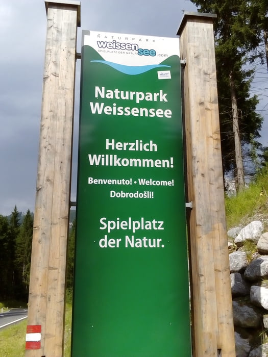
Start in Gatschach am Weißensee.
GPS tracks
Trackpoints-
GPX / Garmin Map Source (gpx) download
-
TCX / Garmin Training Center® (tcx) download
-
CRS / Garmin Training Center® (crs) download
-
Google Earth (kml) download
-
G7ToWin (g7t) download
-
TTQV (trk) download
-
Overlay (ovl) download
-
Fugawi (txt) download
-
Kompass (DAV) Track (tk) download
-
Track data sheet (pdf) download
-
Original file of the author (gpx) download
More about the tour author
|
|
mitter |
Add to my favorites
Remove from my favorites
Edit tags
Open track
My score
Rate