


Start in Blaichach an der Iller (Möglich auch in Sonthofen oder Immenstadt)
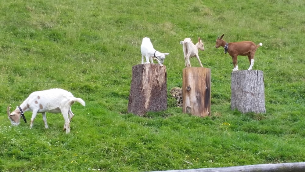
Erster Anstieg nach Gunzesried dann lange ins Tal rein und hinauf bis zur Alpe Scheidwang auf asphaltieter Strecke. Danach gehts auf teilweise sehr holprigen Wegen an Kühen vorbei nach Österreich. Lange Abfahrt (Asphalt) Richtung Hittisau. Die zweite Rampe im Anschluß wieder nach oben! Wieder an Kühen vorbei quer durch ein schönes Tal. Zweiter Stop empfehlenswert die "Untere Lauchalpe (wieder Deutschland). Dann der letzte steile Anstieg Richtung Immenstadt.
Viel Spass
(Reine Fahrtzeit ca. 5 Std. Verstrichene Zeit waren aber mit Pausen ca 9 Std, also früh los !!!
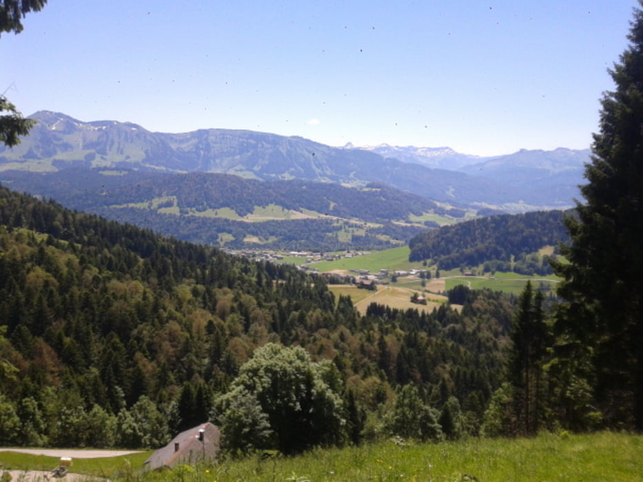
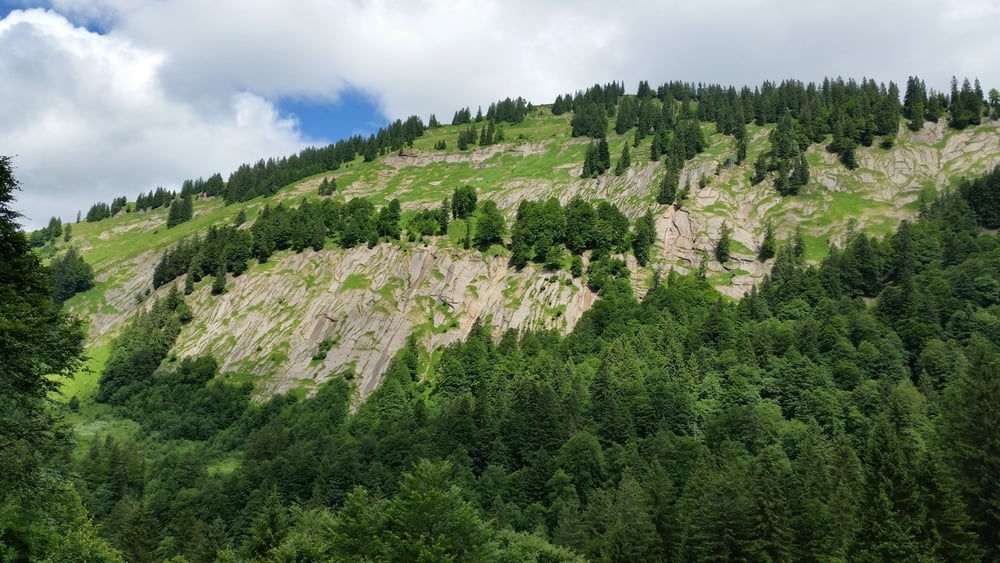
Tour gallery

Tour map and elevation profile
Minimum height 727 m
Maximum height 1383 m
More about the tour author
|
|
Christoph1963 |
Comments

GPS tracks
Trackpoints-
GPX / Garmin Map Source (gpx) download
-
TCX / Garmin Training Center® (tcx) download
-
CRS / Garmin Training Center® (crs) download
-
Google Earth (kml) download
-
G7ToWin (g7t) download
-
TTQV (trk) download
-
Overlay (ovl) download
-
Fugawi (txt) download
-
Kompass (DAV) Track (tk) download
-
Track data sheet (pdf) download
-
Original file of the author (tcx) download
More about the tour author
|
|
Christoph1963 |
Add to my favorites
Remove from my favorites
Edit tags
Open track
My score
Rate