Login

Forgot your login?

Cookies have to be accepted!
Your browser's cookie functionality is disabled. Please enable this functionality.

Not a member yet?

Register now
Login

Available for registred users only

Log in to use this feature.

Forgot your login?

Cookies have to be accepted!
Your browser's cookie functionality is disabled. Please enable this functionality.

Not a member yet?

Register now
Filter
Categories
Advanced filters
  • Distance (km)
  • Height
Save filters Reset filter

TrackRank

QRCode

Technical data

Distance7,7 km Height202 m Way down154 m Duration02:00 h:m Date13.07.2017
Scores Author Landscape Fun factor Fitness Technique

Statistics

211 Views Scores 27 Downloads Average
Rate
  • Track data sheet
  • Directions
  • Downloads

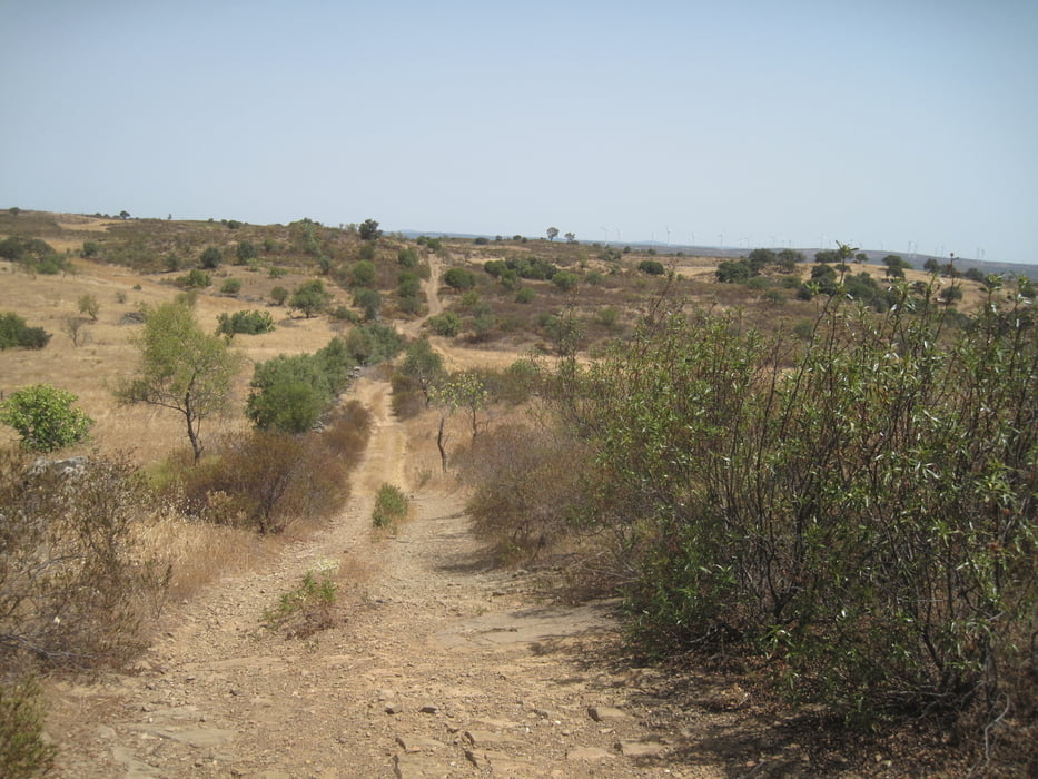
Einsame Wanderung auf breiter Staubstraße ohne viel Schatten durch Naturschutzgebiete am Grenzfluß nach Spanien.

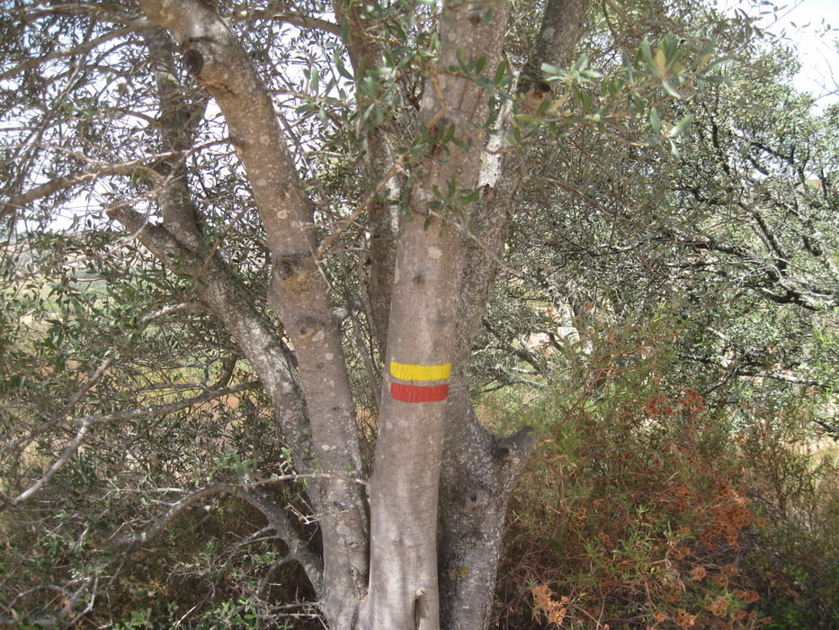
Der Weg ist sehr gut ausgeschieldert. Ein Verlaufen ist schier nicht möglich. Auf eine lange Hose kann hier verzichtet werden da die Staubstraße recht breit ist.

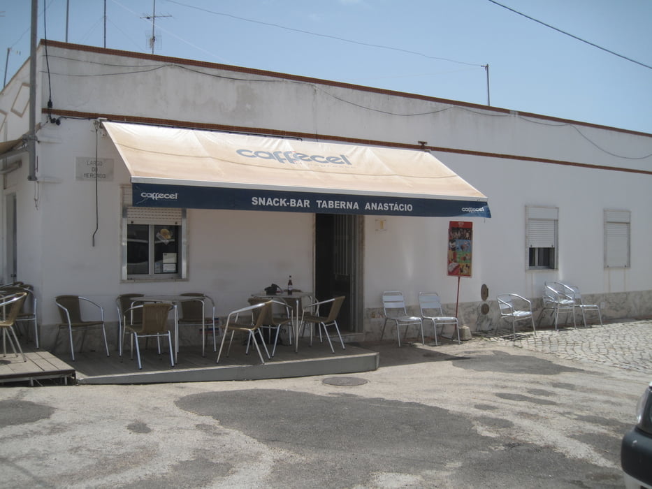
Enkehrmöglichkeiten in Kneipen am Markplatz - muss man sich nur mit Einheimischen teilen.

Tour gallery

Tour map and elevation profile

  • Open Street Map
  • Google
Minimum height -2 m Maximum height 103 m Detailed view

More about the tour author

JoachimDief
Member since 2016

Send private message

Comments

Busstation in Arinhal

GPS tracks

Trackpoints
  • GPX / Garmin Map Source (gpx) download
  • TCX / Garmin Training Center® (tcx) download
  • CRS / Garmin Training Center® (crs) download
  • Google Earth (kml) download
  • G7ToWin (g7t) download
  • TTQV (trk) download
  • Overlay (ovl) download
  • Fugawi (txt) download
  • Kompass (DAV) Track (tk) download
  • Track data sheet (pdf) download
  • Original file of the author (gpx) download

More about the tour author

JoachimDief
Member since 2016

Send private message
Share track
Add to my favorites
Remove from my favorites
Edit tags
My score
Rate
Track: Azinhal; Einsame Wanderung mit Windmühlenruine
Type: Hiking
Distance: 7,7 km
Evaluated on:
Duration:
Day(s)
Hour(s)
Minute(s)
Score: Landscape Fun factor Fitness Technique