


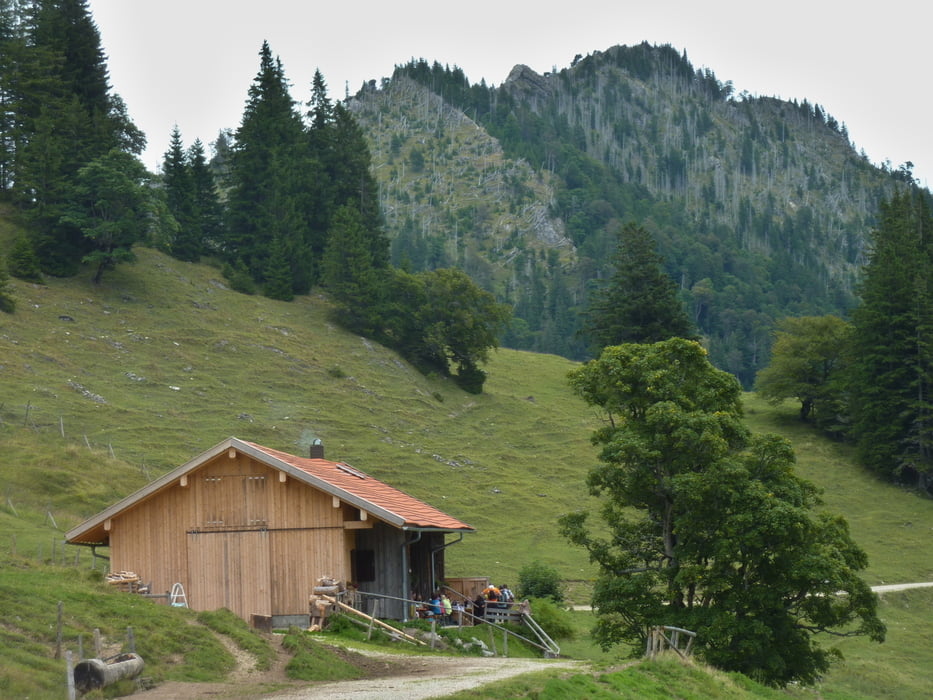
Wir sind von Eisenberg über Pfronten Röfleuten ins Vilstal und hinauf nach Schattwald im Tannheimertal. Über Zöblen auf dem Radweg nach Tannheim und weiter nach Grän. Die Abfahrt durch die enge Richtung Pfronten erfolgt zum großen Teil auf der Straße. Beim Schönkahlerparkplatz verlassen wir die Straße und radeln recht steil und lang hinauf zur Bärenmoosalm. Nach einem herrlichen Einkehrschwung ging es hinab ins Himmelreich, die Abfahrt ist etwas grob geröllig. Im Himmelreich wählten wir den Forstweg hinunter ins Vilstal und über Pfronten wieder zurück nach Eisenberg.
Tour gallery
Tour map and elevation profile
Minimum height 836 m
Maximum height 1295 m
More about the tour author

|
eganahl |
Comments

GPS tracks
Trackpoints-
GPX / Garmin Map Source (gpx) download
-
TCX / Garmin Training Center® (tcx) download
-
CRS / Garmin Training Center® (crs) download
-
Google Earth (kml) download
-
G7ToWin (g7t) download
-
TTQV (trk) download
-
Overlay (ovl) download
-
Fugawi (txt) download
-
Kompass (DAV) Track (tk) download
-
Track data sheet (pdf) download
-
Original file of the author (gpx) download
More about the tour author
|
|
eganahl |
Add to my favorites
Remove from my favorites
Edit tags
Open track
My score
Rate