


Start der Tour ist beim Parkplatz in Naggl.
Die Strecke verläuft über die Seestraße nach Techendorf, und weiter auf dem Seeradweg nach Praditz.
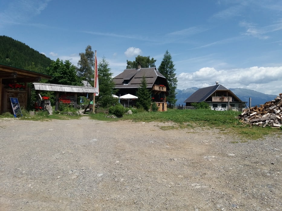
Ab Praditz kurz nach der Tankstelle führt eine MTB-Strecke vorbei an der Weissen Wand zur Alm hinterm Brunn.
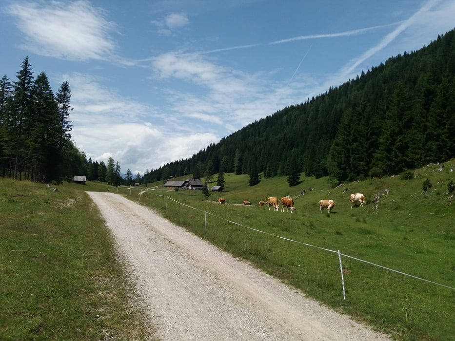
Von der Alm hinterm Brunn geht es weiter Richtung Ostseeufer (Mösel), und danach auf der Straße nach Weißenbach.
Ab Weißenbach verläuft die Tour auf der MTb-Strecke zur Fischeralm, Bodenalm und zurück nach Naggl.
Further information at
http://www.weissensee.com/Tour gallery
Tour map and elevation profile
Minimum height 918 m
Maximum height 1559 m
More about the tour author
|
|
kersti |
Comments

gebührenpflichtige Parkplätze in Naggl
GPS tracks
Trackpoints-
GPX / Garmin Map Source (gpx) download
-
TCX / Garmin Training Center® (tcx) download
-
CRS / Garmin Training Center® (crs) download
-
Google Earth (kml) download
-
G7ToWin (g7t) download
-
TTQV (trk) download
-
Overlay (ovl) download
-
Fugawi (txt) download
-
Kompass (DAV) Track (tk) download
-
Track data sheet (pdf) download
-
Original file of the author (gpx) download
More about the tour author
|
|
kersti |
Add to my favorites
Remove from my favorites
Edit tags
Open track
My score
Rate