


3.Tag Alleghe - Canazei (70Km; 500HM; 2 Bergbahnen (2000HM) und 1200Hm Taxiauffahrt)
(Gesamt 4 Tage Tiefenmeter 10000HM; 4000HM mit bike bergauf; 6000HM mit Aufstiegshilfen)
von Alleghe Seilbahn auf 1900m ; dann noch weiter steil bergauf zum Cima di Viai (2100m)
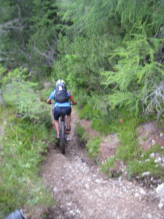
Dann Supertrail (1100Hm; mal flachmal Steil, meist S1-S2 unten streile Spitzkehren) bis Caprile (1000m)
Dort Raufshutteln zum Passo Giua (2200m) mit Taxi
Die Querung zum Pasoo Nuvolau würde ich nicht mehr machen, da sie zu verblockt ist und mind. 30 min Tragen erforderlich ist;
besser den Sessellift hoch nehmen,
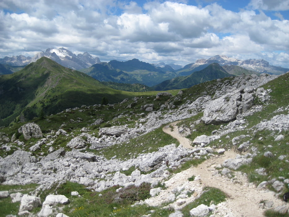
Dann Supertrail nach Westen (S0-S1)bis zur Falzarego Passtrasse; Diese auf trails parallel zur Strasse runter.
Auf Strasse nach Arraba (1600m)
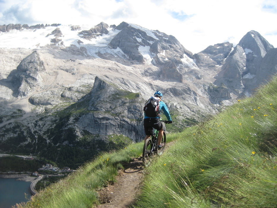
Dort Seilbahn Porto Vescovo bis auf 2500m Im Abendlicht (besser nicht tagsüber, wegen der vielen Wanderer) den bekannten BINDELWEG (S0-S1) bis zum Pordoi Joch
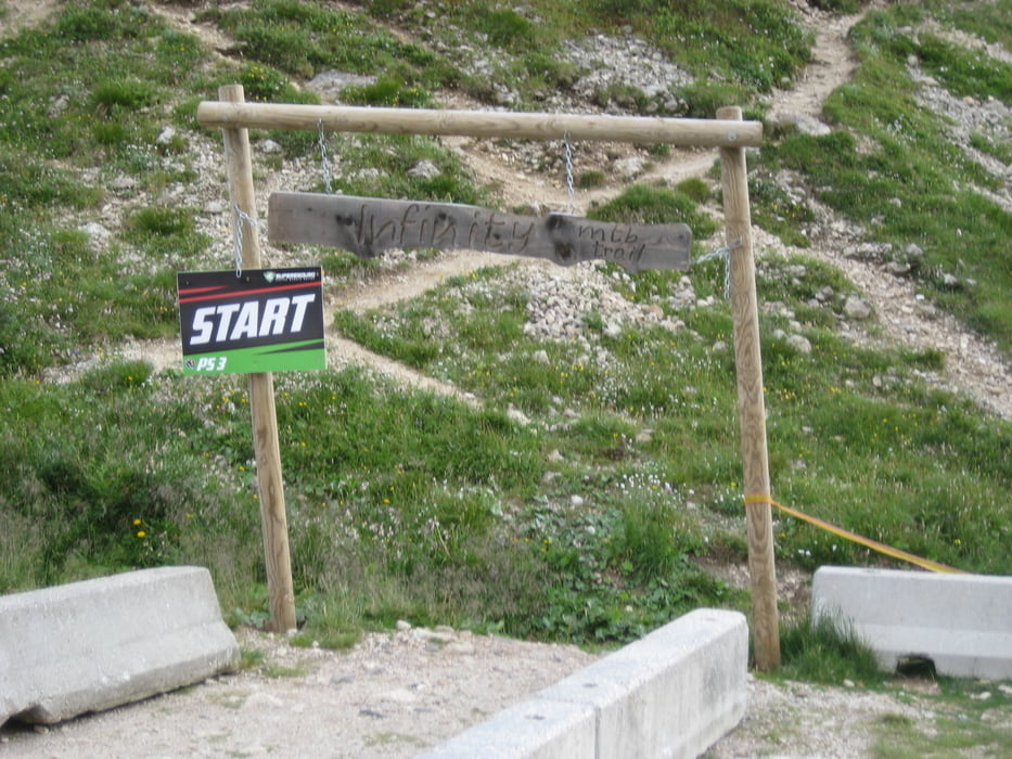
angelegter "infinity" Trail nach Canazei (S2 ?)
(Gesamt 4 Tage Tiefenmeter 10000HM; 4000HM mit bike bergauf; 6000HM mit Aufstiegshilfen)
von Alleghe Seilbahn auf 1900m ; dann noch weiter steil bergauf zum Cima di Viai (2100m)
Dann Supertrail (1100Hm; mal flachmal Steil, meist S1-S2 unten streile Spitzkehren) bis Caprile (1000m)
Dort Raufshutteln zum Passo Giua (2200m) mit Taxi
Die Querung zum Pasoo Nuvolau würde ich nicht mehr machen, da sie zu verblockt ist und mind. 30 min Tragen erforderlich ist;
besser den Sessellift hoch nehmen,
Dann Supertrail nach Westen (S0-S1)bis zur Falzarego Passtrasse; Diese auf trails parallel zur Strasse runter.
Auf Strasse nach Arraba (1600m)
Dort Seilbahn Porto Vescovo bis auf 2500m Im Abendlicht (besser nicht tagsüber, wegen der vielen Wanderer) den bekannten BINDELWEG (S0-S1) bis zum Pordoi Joch
angelegter "infinity" Trail nach Canazei (S2 ?)
Tour gallery
Tour map and elevation profile
Minimum height 998 m
Maximum height 2489 m
More about the tour author

|
trailhunterM |
Comments
GPS tracks
Trackpoints-
GPX / Garmin Map Source (gpx) download
-
TCX / Garmin Training Center® (tcx) download
-
CRS / Garmin Training Center® (crs) download
-
Google Earth (kml) download
-
G7ToWin (g7t) download
-
TTQV (trk) download
-
Overlay (ovl) download
-
Fugawi (txt) download
-
Kompass (DAV) Track (tk) download
-
Track data sheet (pdf) download
-
Original file of the author (gpx) download
More about the tour author
|
|
trailhunterM |
Add to my favorites
Remove from my favorites
Edit tags
Open track
My score
Rate
Infos zur Tour