


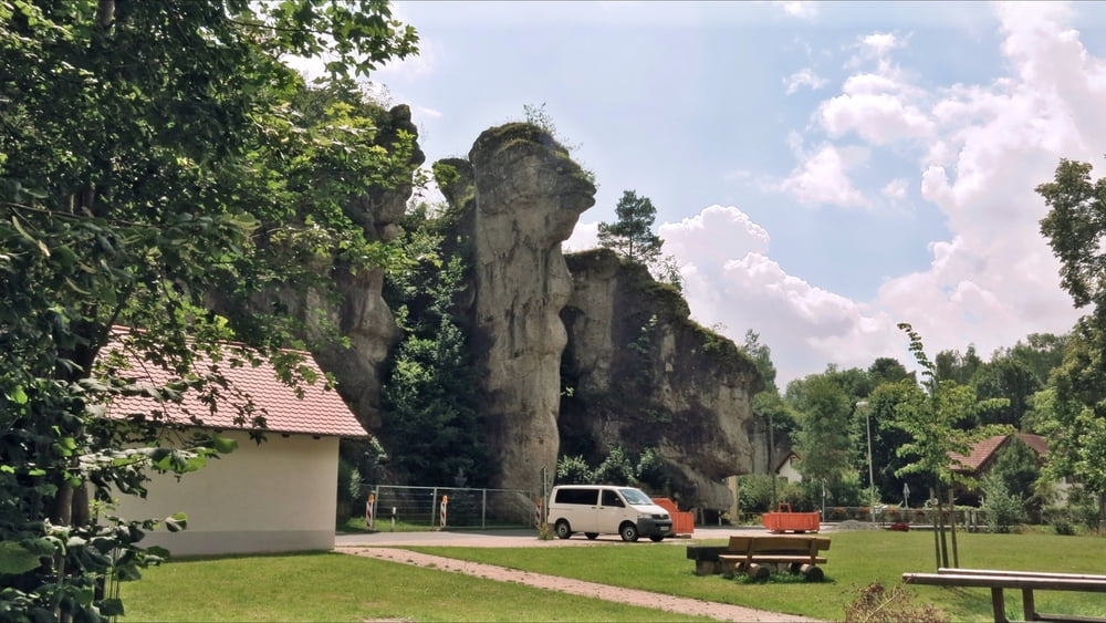
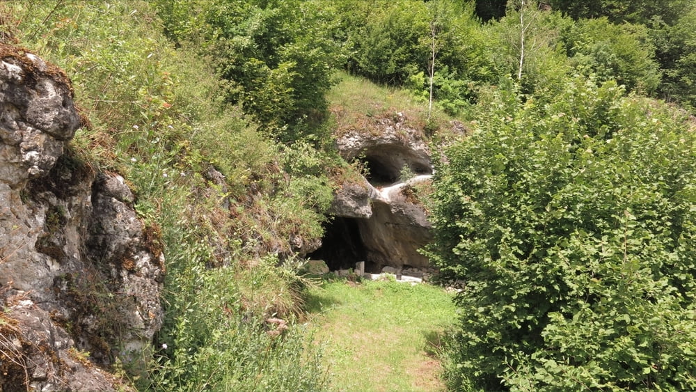
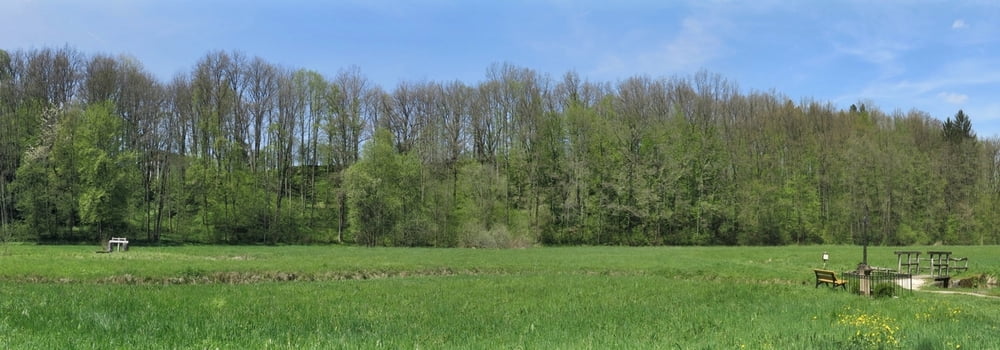
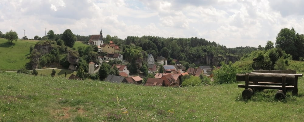
Eine gemütliche Wanderung durch das wenig begangene, liebliche Kaiserbach- Tal, zuerst nach Norden auf dem "Fränkischen Gebirgsweg" nach Krögelstein und zur kleinen "Etagenhöhle", auf fast gleichem Weg zurück nach Kainach und nunmehr auf dem gleichen Weg nach Süden bis Hollfeld. Den Rückweg kann man auch hier mit kleinen Variationen machen.
HINWEIS zum Video:
Mit Mozilla Firefox u.a. mit Flash- Player Plugin startet das Video direkt bei der Bildershow.
Andernfalls verwendet ihr in eurem Browser den Link:
https://youtu.be/tIbZI6KOeB8
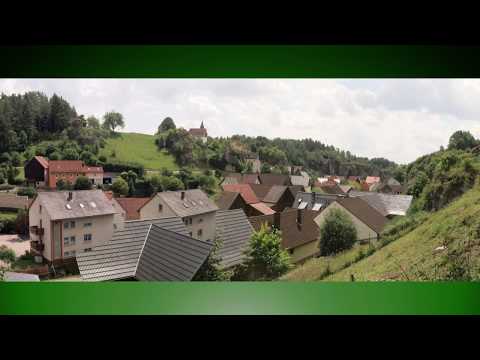
Tour gallery
Tour map and elevation profile
Minimum height 395 m
Maximum height 440 m
More about the tour author
|
|
heinz-57 |
Comments

Von Hollfeld auf St 2191 nach Norden, nach ca. 2 km rechts nach Kainach, im Ort rechts zu bezeichnetem Wanderparkplatz.
GPS tracks
Trackpoints-
GPX / Garmin Map Source (gpx) download
-
TCX / Garmin Training Center® (tcx) download
-
CRS / Garmin Training Center® (crs) download
-
Google Earth (kml) download
-
G7ToWin (g7t) download
-
TTQV (trk) download
-
Overlay (ovl) download
-
Fugawi (txt) download
-
Kompass (DAV) Track (tk) download
-
Track data sheet (pdf) download
-
Original file of the author (gpx) download
More about the tour author
|
|
heinz-57 |
Add to my favorites
Remove from my favorites
Edit tags
Open track
My score
Rate