Login

Forgotten password?

Cookies have to be accepted!
Your browser's cookie functionality is disabled. Please enable this functionality.

Not a member yet?

Register now
Login

Available for registred users only

Log in to use this feature.

Forgotten password?

Cookies have to be accepted!
Your browser's cookie functionality is disabled. Please enable this functionality.

Not a member yet?

Register now
Filter
Categories
Advanced filters
  • Distance (km)
  • Height
Save filters Reset filter

TrackRank

QRCode

Technical data

Distance68,8 km Height1743 m Way down1746 m Duration04:00 h:m Date26.07.2017
Scores Author Landscape Fun factor Fitness Technique

Statistics

366 Views 1 Score 93 Downloads 4.00 Average
Rate
  • Track data sheet
  • Directions
  • Downloads

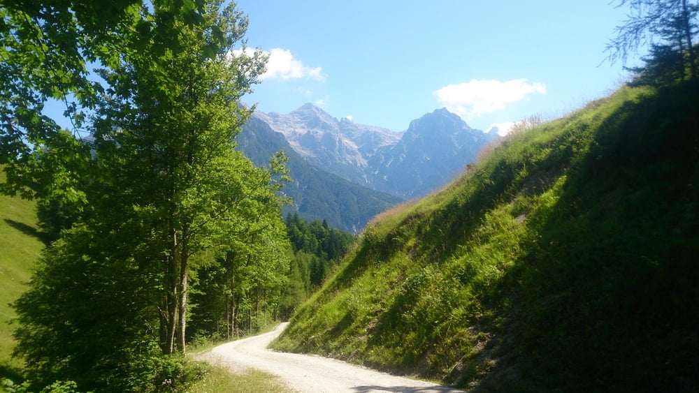
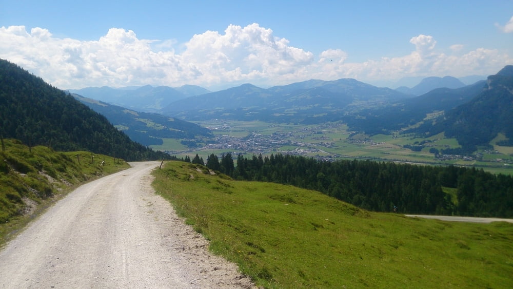
Schöne Anfahrt mit dem Bike über das Pillerseetal.

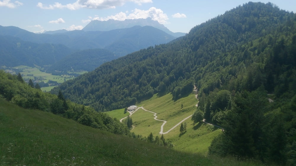
Anstrengende Auffahrt auf schönem Schotterweg zur Wintersteller Alm.

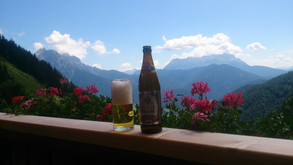
Schöne Hütte zum Einkehren mit Traumblick!!!

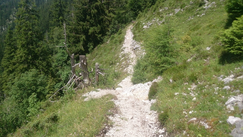
Überquerung zur Gerstbergalm schwieriger, steil abfallender Trail/Wanderweg.

Lockere, steile und lange Abfahrt wieder ins Tal.


Tour gallery

Tour map and elevation profile

  • Open Street Map
  • Google
Minimum height 681 m Maximum height 1589 m Detailed view

More about the tour author

hubsi48
Member since 2014

Send private message

Comments

GPS tracks

Trackpoints
  • GPX / Garmin Map Source (gpx) download
  • TCX / Garmin Training Center® (tcx) download
  • CRS / Garmin Training Center® (crs) download
  • Google Earth (kml) download
  • G7ToWin (g7t) download
  • TTQV (trk) download
  • Overlay (ovl) download
  • Fugawi (txt) download
  • Kompass (DAV) Track (tk) download
  • Track data sheet (pdf) download
  • Original file of the author (gpx) download

More about the tour author

hubsi48
Member since 2014

Send private message
Share track
Add to my favorites
Remove from my favorites
Edit tags
My score
Rate
Track: Wintersteller Alm
Type: Mountain bike
Distance: 68,8 km
Evaluated on:
Duration:
Day(s)
Hour(s)
Minute(s)
Score: Landscape Fun factor Fitness Technique