


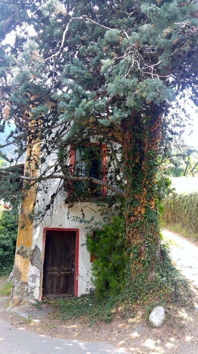
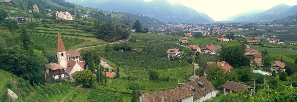
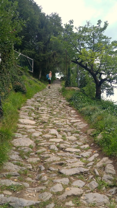
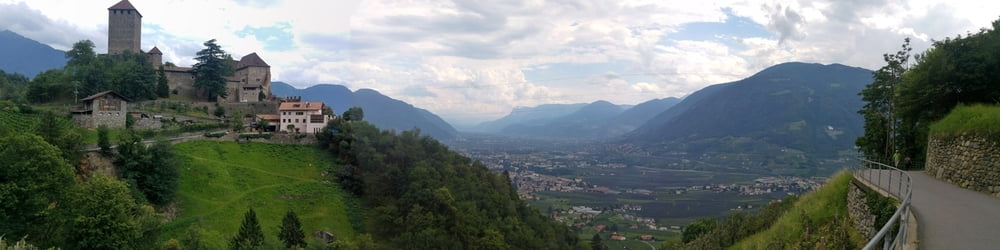
Schöne Wanderung entlang der Bewässerungsgräben (Waale) von Dorf Tirol nach Algund und retour via Schloss Tirol. Einkehrmöglichkeit z.B. im Cafe Konrad am Umkehrpunkt bei schmackhaftem Strudel und netter Aussicht. Zwei steile, steinige und konditionell leicht fordernde Passagen nach dem Ristorante Kircher Gratsch und nach dem Cafe Konrad, ansonsten gut begehbare Wege und teilweise Asphalt.
Baby-Hike: Schwierigkeit 3 von 5. Die o.g., jeweils ca. 100m langen Passagen sind mit einem Kinderwagen nicht so recht befahrbar und müssten wohl teilweise tragend überbrückt werden, am Schloss Tirol kommt nochmal eine vergleichbare kürzere Stelle, die man allerdings umgehen kann. Wir nutzten einen Tragegurt. Bänke zum Stillen am oberen Weg zum Schloss, Wickeltisch in der Außentoilette des Cafe Konrads. Zunächst überhaupt kein, später ausreichend, Schatten.
Further information at
http://www.algund.info/de/aktiv-in-algund-suedtirol/wandern-suedtirol/waalwege-suedtirol/1-algunder-waalweg.htmlTour gallery
Tour map and elevation profile
Minimum height 369 m
Maximum height 632 m
More about the tour author
|
|
mackator |
Comments

Dorf Tirol
GPS tracks
Trackpoints-
GPX / Garmin Map Source (gpx) download
-
TCX / Garmin Training Center® (tcx) download
-
CRS / Garmin Training Center® (crs) download
-
Google Earth (kml) download
-
G7ToWin (g7t) download
-
TTQV (trk) download
-
Overlay (ovl) download
-
Fugawi (txt) download
-
Kompass (DAV) Track (tk) download
-
Track data sheet (pdf) download
-
Original file of the author (gpx) download
More about the tour author
|
|
mackator |
Add to my favorites
Remove from my favorites
Edit tags
Open track
My score
Rate