


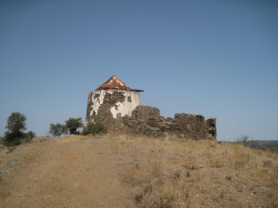
Wanderung von Álamo nach Foz de Odeleite durch einsame unberührte Hügellandschaft.
Leichte Wanderung auf breiten, unbefestigten Wegen. Es gibt keinen Schatten. Deshalb bei Sonnenstrahlung gut schützen und genügend Wasser mitnehmen.
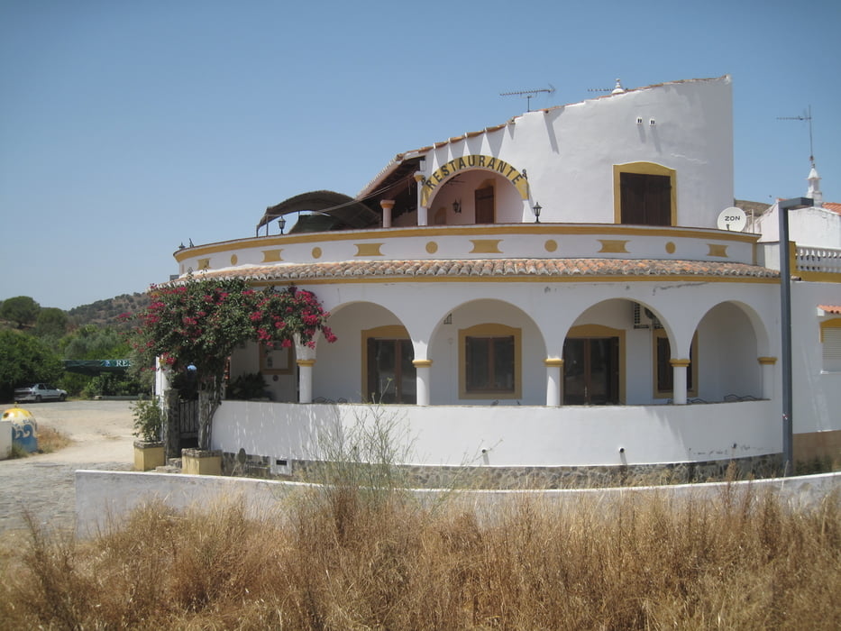
Einkehrmöglichkeit auf halber Strecke in Foz de Odeleite - ursprünglich.
Der Rückweg geht zunächst an der Straße entlang und führt dann wieder in die Hügellandschaft auf schmäleren Wegen durch ein trockenes Flussbett.
Tour gallery


Tour map and elevation profile
Minimum height -6 m
Maximum height 150 m
More about the tour author
|
|
JoachimDief |
Comments

Straße am Grenzfluss entlang bis Álamo
GPS tracks
Trackpoints-
GPX / Garmin Map Source (gpx) download
-
TCX / Garmin Training Center® (tcx) download
-
CRS / Garmin Training Center® (crs) download
-
Google Earth (kml) download
-
G7ToWin (g7t) download
-
TTQV (trk) download
-
Overlay (ovl) download
-
Fugawi (txt) download
-
Kompass (DAV) Track (tk) download
-
Track data sheet (pdf) download
-
Original file of the author (gpx) download
More about the tour author
|
|
JoachimDief |
Add to my favorites
Remove from my favorites
Edit tags
Open track
My score
Rate