


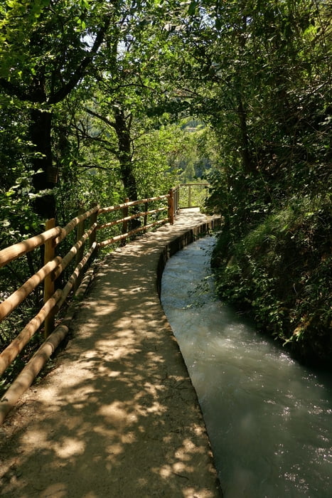
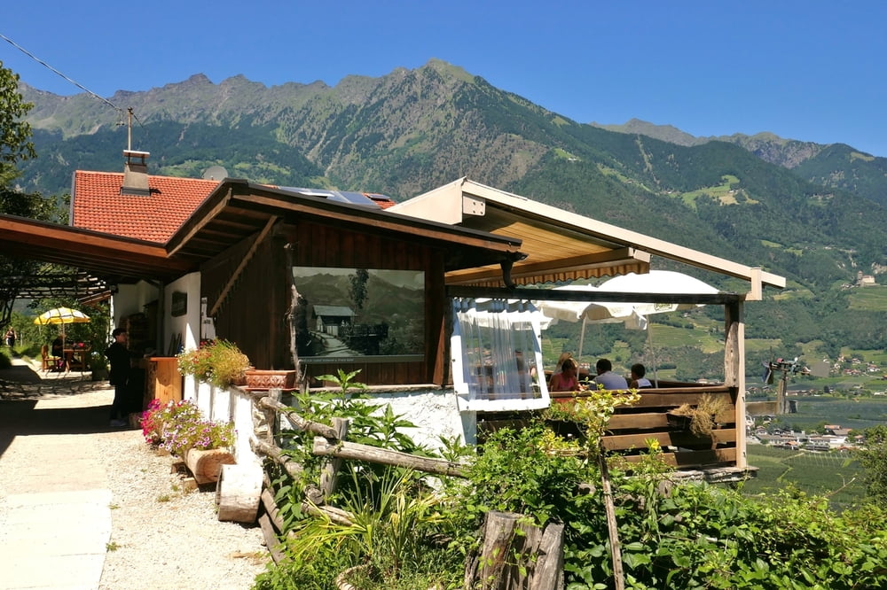
Netter und ziemlich frequentierter Wanderweg entlang des Marlinger Waales von Töll bis kurz vor Marling. Start ist an den Parkplätzen (mit Wurstbuden und Obstständen) an der Landstraße kurz vor Töll. Es ist möglich, den Waalweg bis runter nach Oberlana zu gehen (one-way 10,5 km), aber die Busverbindung zurück inkl. Umsteigen in Meran ist etwas umständlich. Einige Gasthäuser am Wegesrand.
Baby-Hike: Schwierigkeit 1,5 von 5. Wir gingen mit Tragegurt, die Tour ist aber durchaus mit Kinderwagen begehbar. Letztes Drittel sehr sonnenexponiert, ansonsten reichlich Schatten.
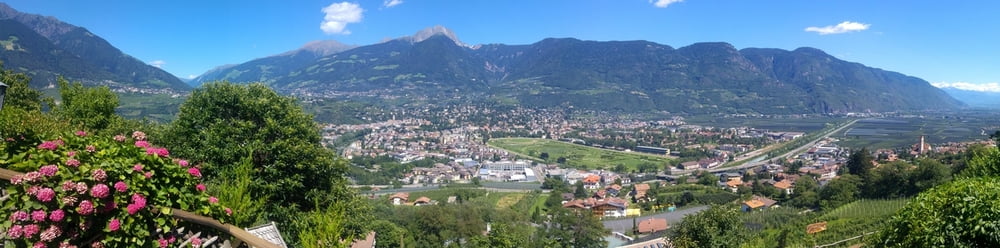
Tour gallery
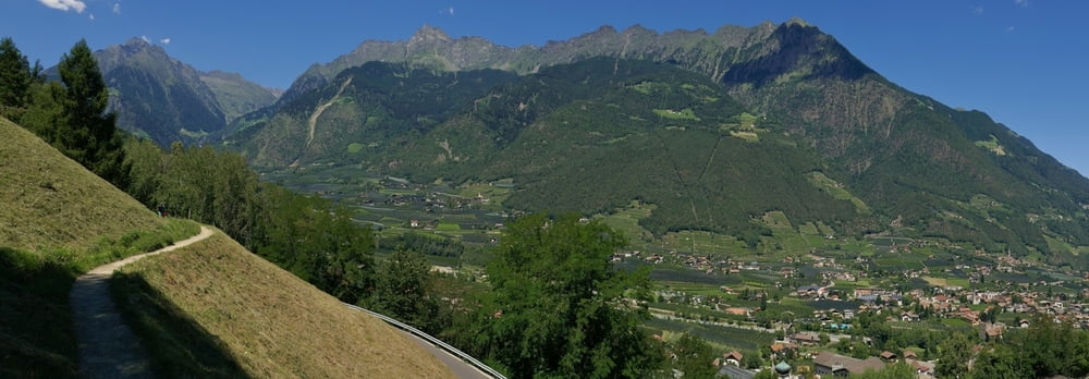
Tour map and elevation profile
Minimum height 470 m
Maximum height 529 m
More about the tour author
|
|
mackator |
Comments

Parkplätzen an der Landstraße kurz vor Töll.
GPS tracks
Trackpoints-
GPX / Garmin Map Source (gpx) download
-
TCX / Garmin Training Center® (tcx) download
-
CRS / Garmin Training Center® (crs) download
-
Google Earth (kml) download
-
G7ToWin (g7t) download
-
TTQV (trk) download
-
Overlay (ovl) download
-
Fugawi (txt) download
-
Kompass (DAV) Track (tk) download
-
Track data sheet (pdf) download
-
Original file of the author (gpx) download
More about the tour author
|
|
mackator |
Add to my favorites
Remove from my favorites
Edit tags
Open track
My score
Rate