
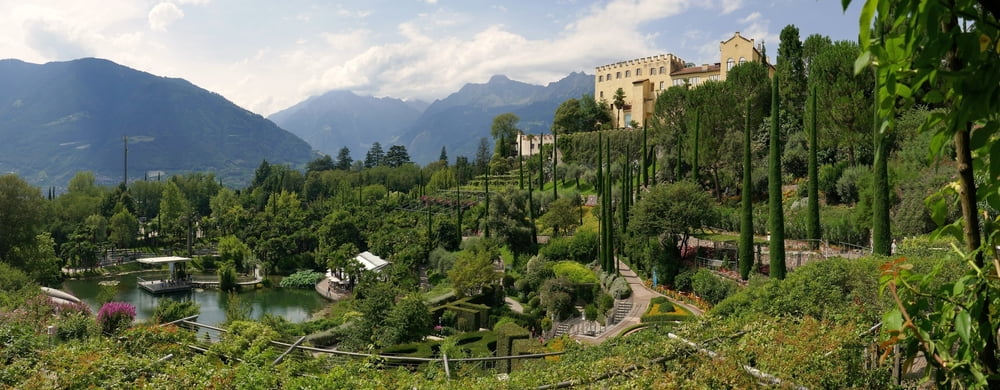

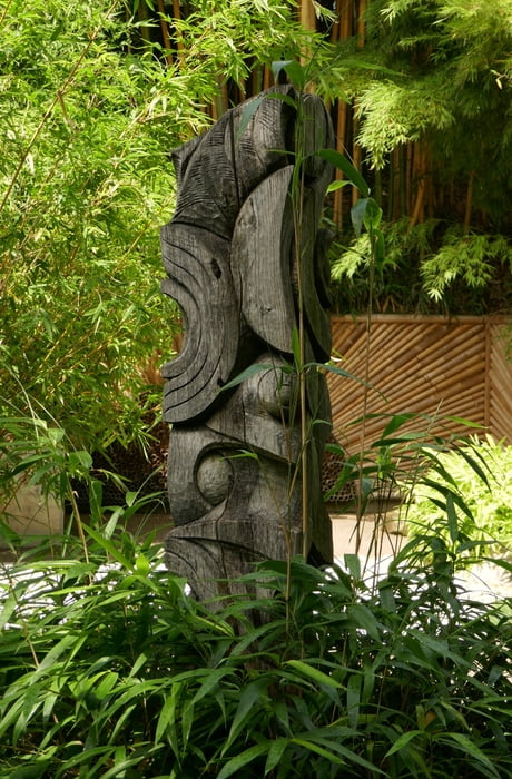
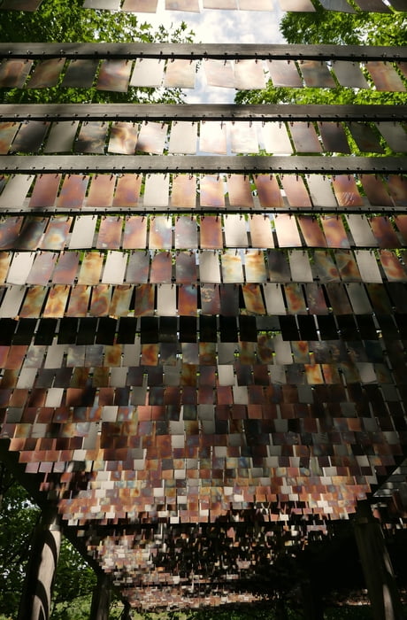
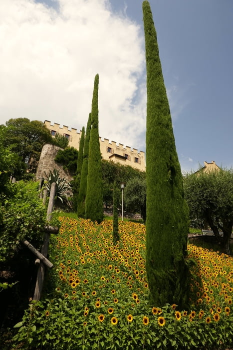
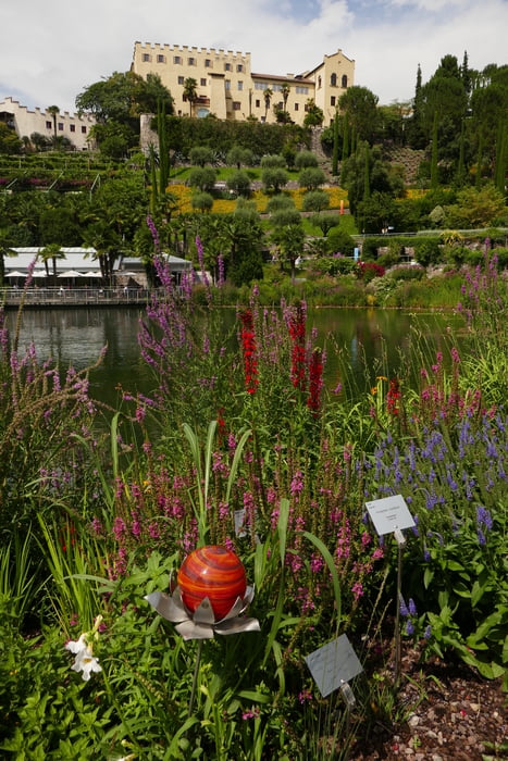
Obwohl es kein echtes Wandern ist, packe ich es mal in diese Kategorie, weil man sich als Wanderer, Biker, Gast in Meran diese ästhetische Erfahrung nicht entgehen lassen sollte. Wir erwarteten nicht allzu viel, waren dann umso mehr geflasht ob der Größe, Schönheit und Vielfalt dieser Gartenanlage. Es gibt einfach so viel zu bestaunen! Die Anlage ist in verschiedene Themensektionen unterteilt. Auch für Kinder gibt es allerlei spielerische Features. Archtitektonisch interessantes Cafe mit toller Aussicht im Zentrum des Gartens. Erschwingliche Preise! Mehr Fotos im Link unten.
Baby-Hike: Schwierigkeit 1 von 5. Größtenteils mit Kinderwagen begehbar.
Further information at
https://photos.app.goo.gl/MzDpOeOx0TYlajXT2Tour gallery
Tour map and elevation profile
Minimum height 332 m
Maximum height 399 m
More about the tour author
|
|
mackator |
Comments

St.-Valentin-Straße, 51/A, 39012 Meran
GPS tracks
Trackpoints-
GPX / Garmin Map Source (gpx) download
-
TCX / Garmin Training Center® (tcx) download
-
CRS / Garmin Training Center® (crs) download
-
Google Earth (kml) download
-
G7ToWin (g7t) download
-
TTQV (trk) download
-
Overlay (ovl) download
-
Fugawi (txt) download
-
Kompass (DAV) Track (tk) download
-
Track data sheet (pdf) download
-
Original file of the author (gpx) download
More about the tour author
|
|
mackator |
Add to my favorites
Remove from my favorites
Edit tags
Open track
My score
Rate