


Akku Testfahrt auf der Großglockner Hochalpenstraße
Shimano Steps 8000
Merida E-OneSixty 800
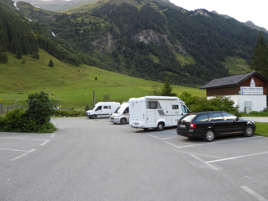
Start der Tour bei der Mautstelle Ferleiten.
Radfahrer fahren den Großglockner gratis.
Empfehlenswert ist bald zu starten – das Verkehrsaufkommen untertags ist enorm.
Sind um 06:30 bei der Mautstelle Ferleiten gestartet.
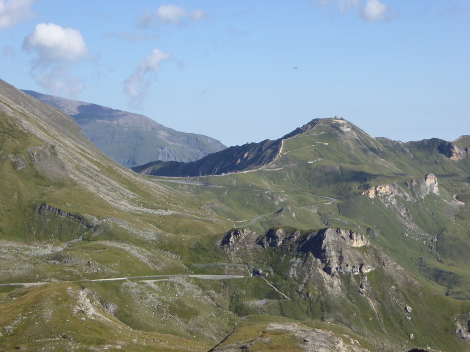
Mit der geringsten Unterstützung ECO und rund 8 bis 10 KM/H ging es sparsam bergauf bis zum Fuschertörl.
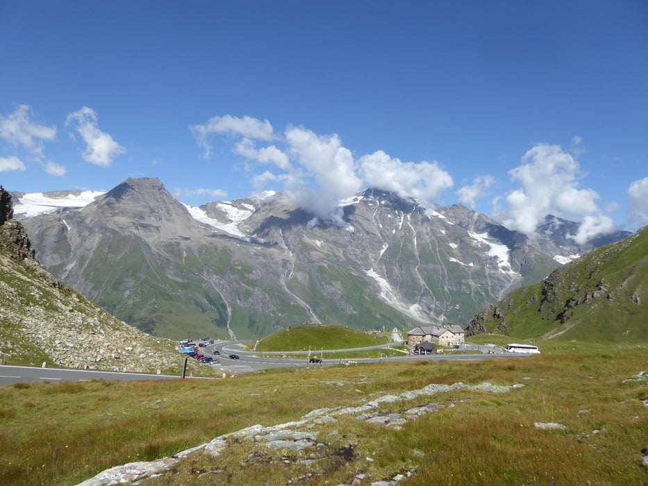
Danach ein kurzes Bergabstück und weiter hinauf zum Hochtor.
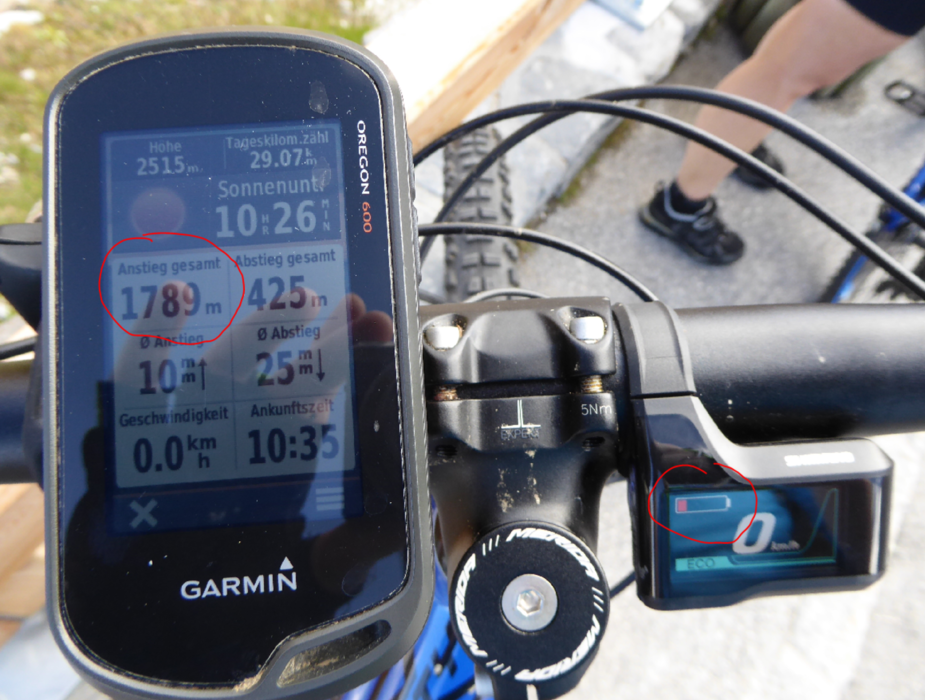
Mit gut 2 von 5 Strichen auf der Akkuanzeige erreichten wir das Hochtor.
Das gleiche wieder retour zum Fuschertörl und noch hinauf zur Edelweisspitze.
Dort war der Akku dann zu Ende – schwach 1800 HM stand dort dann auf der Garmin Anzeige.
Zum Abschluss gings muntere 15 KM in rasanter Fahrt bergab retour zum Ausgangspunkt
Mautstelle Ferleiten.
Tour gallery
Tour map and elevation profile
Minimum height 1150 m
Maximum height 2516 m
More about the tour author
|
|
Hoar |
Comments

Start und Ziel Parkplatz bei der Mautstelle Ferleiten
Sind am Vortag mit dem Wohnmobil angereist - parken war gratis
GPS tracks
Trackpoints-
GPX / Garmin Map Source (gpx) download
-
TCX / Garmin Training Center® (tcx) download
-
CRS / Garmin Training Center® (crs) download
-
Google Earth (kml) download
-
G7ToWin (g7t) download
-
TTQV (trk) download
-
Overlay (ovl) download
-
Fugawi (txt) download
-
Kompass (DAV) Track (tk) download
-
Track data sheet (pdf) download
-
Original file of the author (gpx) download
More about the tour author
|
|
Hoar |
Add to my favorites
Remove from my favorites
Edit tags
Open track
My score
Rate