


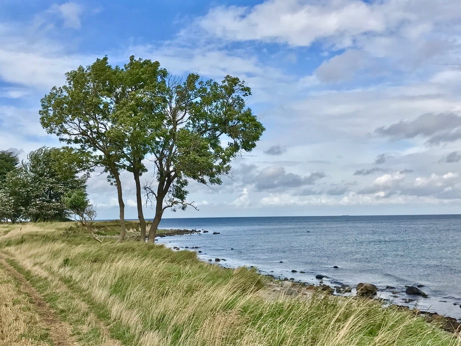
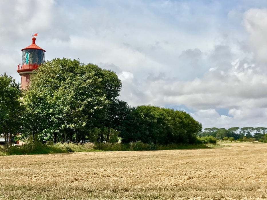
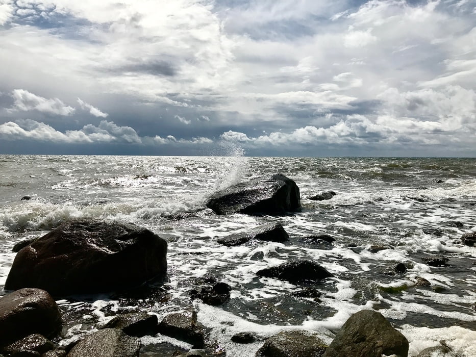
Leichter Spaziergang vom Parkplatz am Marinegelände aus. Aufndem Küstenhochweg entlang mit tollen Blicken auf die Ostsee zum Leuchtturm. Dort unbedingt am kleinen Trampelfahrt hinunter zum Meer mit einem sehrbsteinigen Strand. Bei richtigem Licht fantastische Motive.
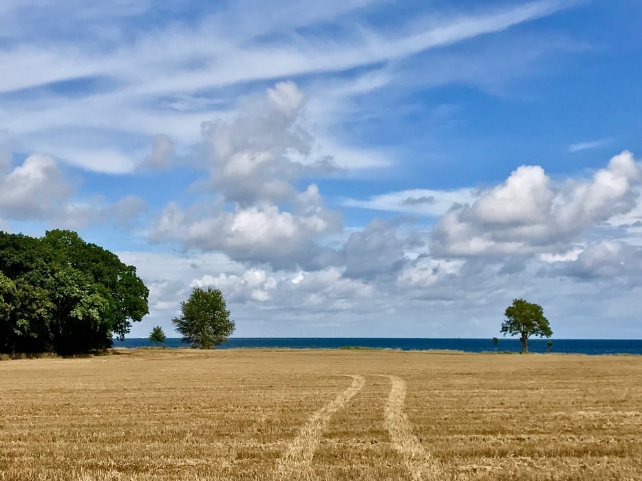
Am Leuchtturm vorbei zurück über malerische Wirtschafts- und Feldwege. Hübscher Rundgang für zwischendurch.
Gesäumt wird der Weg von Tafeln des expressionistischen Malers Ernst Ludwig Kirchner, der hier 1912-14 regelmäßig beim Leuchtturmwärter wohnte.
Further information at
http://www.schoenebergtouren.de/tourentipps/deutschland/schleswig-holstein/fehmarn/wandertour-staberhuk-katharinenhof/Tour gallery
Tour map and elevation profile
Minimum height -8 m
Maximum height 2 m
More about the tour author
|
|
Mirco69 |
Comments

Von Burg aus zum Parkplatz Steberhuk mit dem Auto 10 min.
GPS tracks
Trackpoints-
GPX / Garmin Map Source (gpx) download
-
TCX / Garmin Training Center® (tcx) download
-
CRS / Garmin Training Center® (crs) download
-
Google Earth (kml) download
-
G7ToWin (g7t) download
-
TTQV (trk) download
-
Overlay (ovl) download
-
Fugawi (txt) download
-
Kompass (DAV) Track (tk) download
-
Track data sheet (pdf) download
-
Original file of the author (gpx) download
More about the tour author
|
|
Mirco69 |
Add to my favorites
Remove from my favorites
Edit tags
Open track
My score
Rate