


Dumenza-Laveno-Fähre über Lago maggiore nach Intra-
Verbania-Gravellona Toce-Omegna Lago d'orta-Quarna sotto-
Alpe Camasca-Bocchetta di foglia-Alpe ranghetto-
Varallo-Scopello
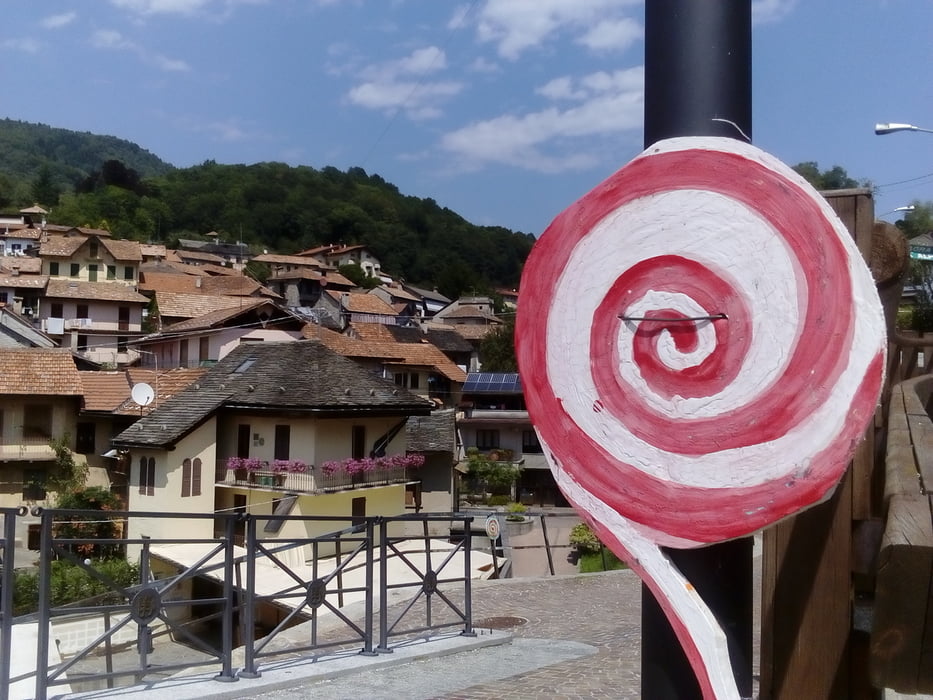
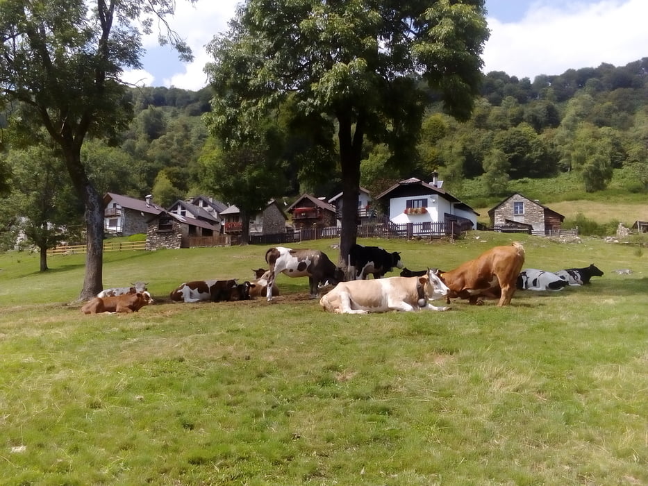
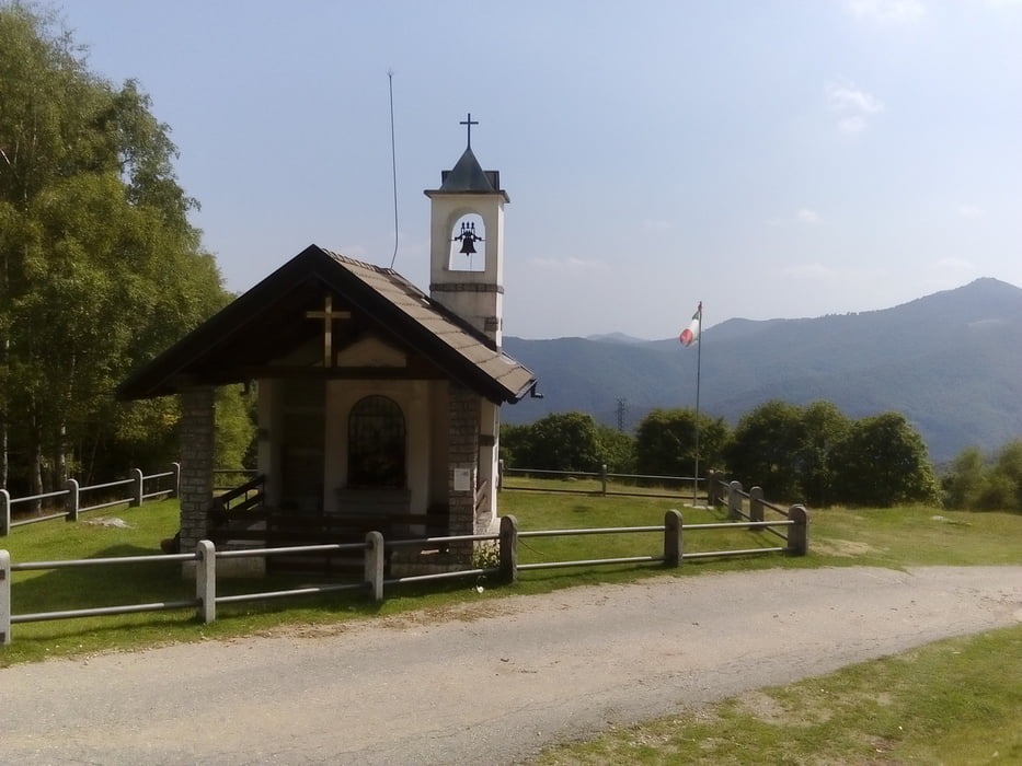
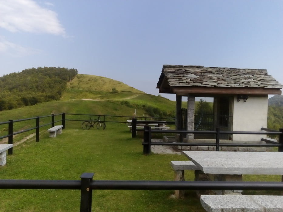
In sengender Hitze wieder viele Straßen km. Die seeuferstraße am Lago maggiore konnte ich trotzdem genießen.Mit der Fähre übergesetzt. Der Berg des Tages Alpe ranghetto ist auch großteils auf Asphalt bei moderater Steigung kommod zu fahren - wäre da nicht die enorme Hitze! Ab Alpe Camasca wird’s endlich schottrig, eine nette Querung zum Alpe ranghetto. Runter wieder Asphalt, aber Achtung: nach ein paar km plötzlich wieder grober Schotter, dann wieder asphaltiert. Varallo ist eine sehr hübsche Stadt. Das letzte Stück sanft ansteigend auf der strada provinciale. Quartier Cantuccio nicht empfehlenswert. NF 60€
In sengender Hitze wieder viele Straßen km. Die seeuferstraße am Lago maggiore konnte ich trotzdem genießen.Mit der Fähre übergesetzt. Der Berg des Tages Alpe ranghetto ist auch großteils auf Asphalt bei moderater Steigung kommod zu fahren - wäre da nicht die enorme Hitze! Ab Alpe Camasca wird’s endlich schottrig, eine nette Querung zum Alpe ranghetto. Runter wieder Asphalt, aber Achtung: nach ein paar km plötzlich wieder grober Schotter, dann wieder asphaltiert. Varallo ist eine sehr hübsche Stadt. Das letzte Stück sanft ansteigend auf der strada provinciale. Quartier Cantuccio nicht empfehlenswert. NF 60€
Tour gallery
Tour map and elevation profile
Minimum height 206 m
Maximum height 1285 m
More about the tour author
|
|
mitter |
Comments

Start in Dumenza, B&B Villa Patrizia.
GPS tracks
Trackpoints-
GPX / Garmin Map Source (gpx) download
-
TCX / Garmin Training Center® (tcx) download
-
CRS / Garmin Training Center® (crs) download
-
Google Earth (kml) download
-
G7ToWin (g7t) download
-
TTQV (trk) download
-
Overlay (ovl) download
-
Fugawi (txt) download
-
Kompass (DAV) Track (tk) download
-
Track data sheet (pdf) download
-
Original file of the author (gpx) download
More about the tour author
|
|
mitter |
Add to my favorites
Remove from my favorites
Edit tags
Open track
My score
Rate