


Colletta di Paesana-Paesana-Sanfront-Colle di Gilba-
Colle del Prete-Becetto-Sampeyre-Casteldelfino-
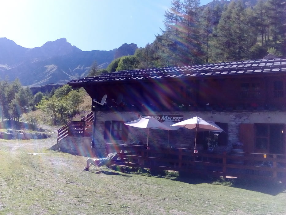
Rifugio Melezè
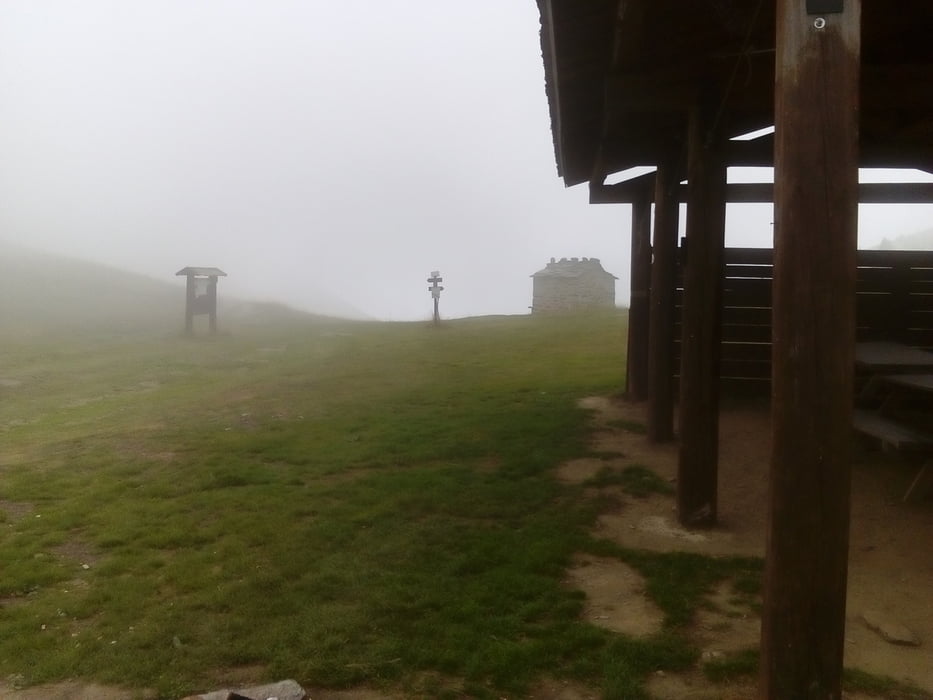
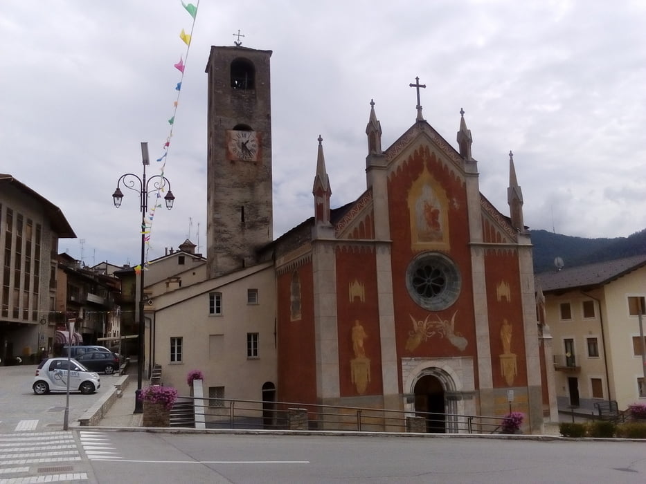
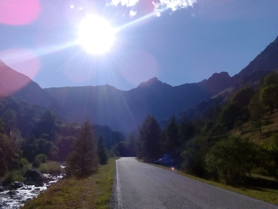
Wieder beginnt der Tag trüb, aber trocken. Von Sanfront weg ca 500 hm auf Asphalt, dann wieder die typischen Piemonter Schotterverhältnisse: grob, aber fest und daher gut fahrbar - bis es zu steil wird.Von Sampeyre hätte ich mir mehr erwartet: wie ausgestorben. Siesta? Bald nehme ich den schönen Wald-Wiesen-Schotterweg den Bach entlang, auf und ab. Zuletzt muss ich ein bisschen zur Straße hinauf schieben und dann noch 7 km Straße, zum Glück ist kein Verkehr und : die Sonne lacht! Nach zwei Tagen im Nebel tut das gut. Rifugio Melezè ist sehr beschaulich, die Leute nett. 6-Bett Timmer für mich. HP 42€ + Getränke und Handtuch. http://www.meleze.it/
Wieder beginnt der Tag trüb, aber trocken. Von Sanfront weg ca 500 hm auf Asphalt, dann wieder die typischen Piemonter Schotterverhältnisse: grob, aber fest und daher gut fahrbar - bis es zu steil wird.Von Sampeyre hätte ich mir mehr erwartet: wie ausgestorben. Siesta? Bald nehme ich den schönen Wald-Wiesen-Schotterweg den Bach entlang, auf und ab. Zuletzt muss ich ein bisschen zur Straße hinauf schieben und dann noch 7 km Straße, zum Glück ist kein Verkehr und : die Sonne lacht! Nach zwei Tagen im Nebel tut das gut. Rifugio Melezè ist sehr beschaulich, die Leute nett. 6-Bett Timmer für mich. HP 42€ + Getränke und Handtuch. http://www.meleze.it/
Further information at
http://www.meleze.it/Tour gallery
Tour map and elevation profile
Minimum height 492 m
Maximum height 1817 m
More about the tour author
|
|
mitter |
Comments

Start in Colletta die Paesana vom Hotel Colletta.
GPS tracks
Trackpoints-
GPX / Garmin Map Source (gpx) download
-
TCX / Garmin Training Center® (tcx) download
-
CRS / Garmin Training Center® (crs) download
-
Google Earth (kml) download
-
G7ToWin (g7t) download
-
TTQV (trk) download
-
Overlay (ovl) download
-
Fugawi (txt) download
-
Kompass (DAV) Track (tk) download
-
Track data sheet (pdf) download
-
Original file of the author (gpx) download
More about the tour author
|
|
mitter |
Add to my favorites
Remove from my favorites
Edit tags
Open track
My score
Rate