


Von Klagenfurt-Rotkreuzzentrum Richtung St.Veit (R7 in diesem Bereich momentan Baustelle bis Waltendorfer Brücke) bis zur Abzweigung nach Arndorf, über ruhige Nebenstrassen nach Rosendorf, Stuttern,Timenitz, Deinsdorf, Bundesstrasse nach Pischeldorf überqueren, bei Lassendorf nach der VS links weg Richtung Sillebrücke bis zum R7F, rechts weg über St. Lorenzen, Hollern, Reigersdorf und Portendorf (Bundesstrasse zum 2. Mal queren). Gottesbichl, Drasendorf und St. Georgen am Sandhof und zur Glan zurück
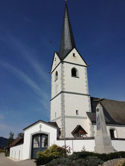
Tour gallery
Tour map and elevation profile
Minimum height 430 m
Maximum height 561 m
More about the tour author
|
|
walderich |
Comments

GPS tracks
Trackpoints-
GPX / Garmin Map Source (gpx) download
-
TCX / Garmin Training Center® (tcx) download
-
CRS / Garmin Training Center® (crs) download
-
Google Earth (kml) download
-
G7ToWin (g7t) download
-
TTQV (trk) download
-
Overlay (ovl) download
-
Fugawi (txt) download
-
Kompass (DAV) Track (tk) download
-
Track data sheet (pdf) download
-
Original file of the author (gpx) download
More about the tour author
|
|
walderich |
Add to my favorites
Remove from my favorites
Edit tags
Open track
My score
Rate