

Hüttentour-Tour-2-0-Schlernhaus-Tierser Alp-Plattkofelhütte
Tour 2 - 12 km
Gesamtseigung: 580 Hm
Gesamtgefälle: 760 Hm
Schlernhaus - Plattkofelhütte
Start Weg-Nr. 4 und 1
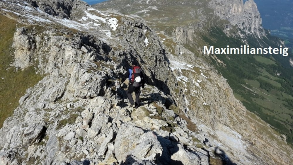
Alternative: über Maximilian-Kletterteig
Wir "Alten" Herren hatte uns wegen dem schweren Rucksack und dem Gratgang ohne Sicherungerung für die Umkehr entschieden.
Der "Junge" Herr ist den Maximilian-Klettersteig gegangen.
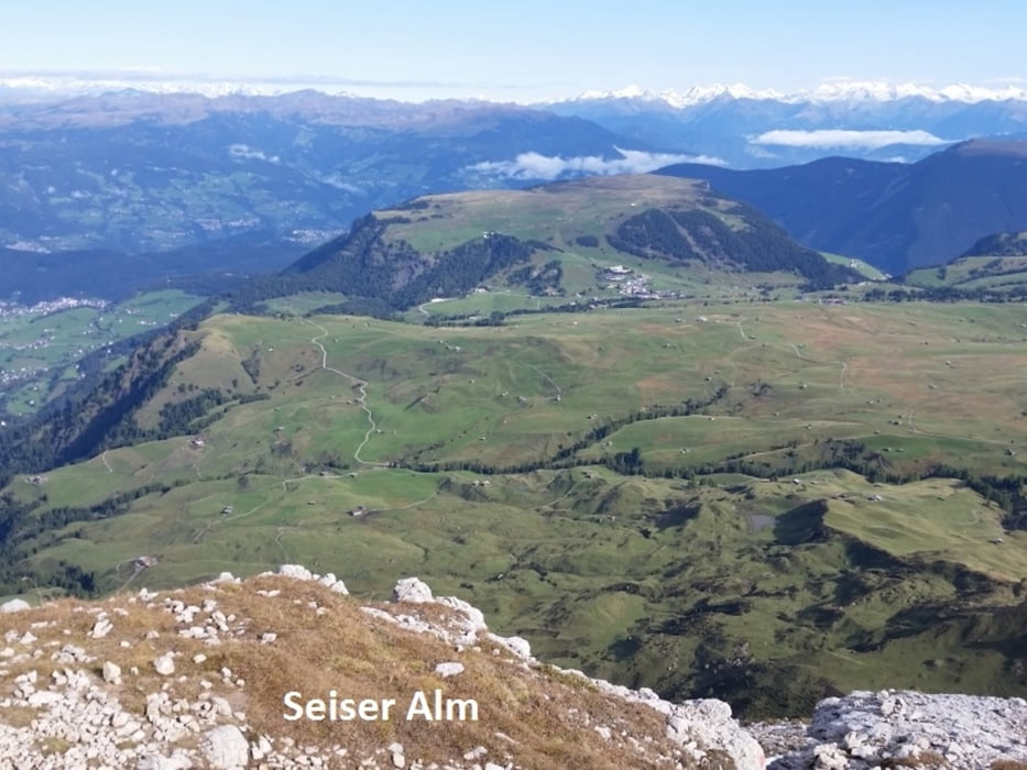
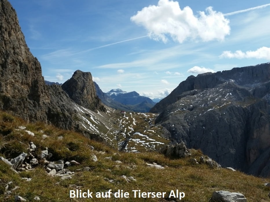
weiter Weg-Nr. 4 bis "Tiers Alpl Hütte"
Bei der Tierser Alp haben wir uns wieder getroffen.
und dann Weg-Nr. 4-594 über "Passo Duron" bis Plattkofelhütte
Tour gallery
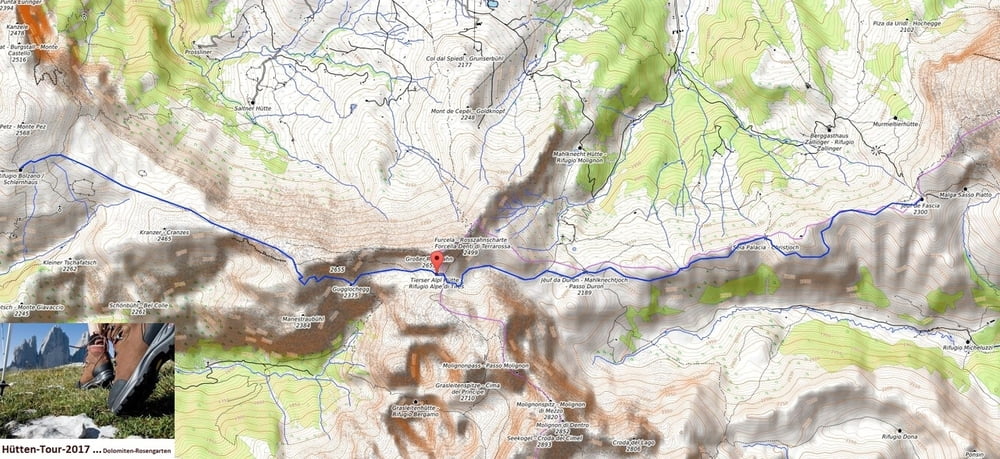
Tour map and elevation profile
Minimum height 2160 m
Maximum height 2622 m
More about the tour author
|
|
Stummi |
Comments

GPS tracks
Trackpoints-
GPX / Garmin Map Source (gpx) download
-
TCX / Garmin Training Center® (tcx) download
-
CRS / Garmin Training Center® (crs) download
-
Google Earth (kml) download
-
G7ToWin (g7t) download
-
TTQV (trk) download
-
Overlay (ovl) download
-
Fugawi (txt) download
-
Kompass (DAV) Track (tk) download
-
Track data sheet (pdf) download
-
Original file of the author (gpx) download
More about the tour author
|
|
Stummi |
Add to my favorites
Remove from my favorites
Edit tags
Open track
My score
Rate