

Hüttentour-Tour-4-Antermoiahütte-Weißlahnbad
Tour 4 - 12 km
Gesamtseigung: 400 Hm
Gesamtgefälle: 1.900 Hm
Antermoia - Parkplatz Weißlahnbad (Auto)
Weg zum Antermoia See
ALTERNATIVE: Kesselkogelsteig (Weg-Nr. 585) möglich ... war bei uns aber gesperrt
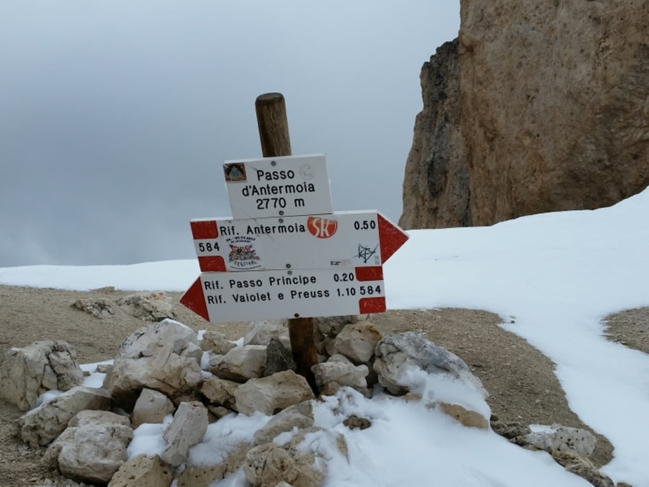
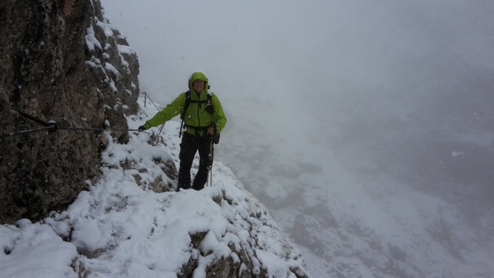
Weg-Nr. 584 zum Antermoia Pass (2.776)
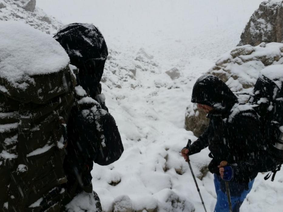
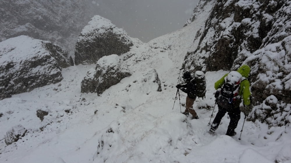
Ab hier setzte bei uns starker Schneefall ein
weiter zum Grasleitenpass mit Grassleitenpasshütte - Rifugio Passo Principe
weiter Weg-Nr. 11
Grassleitenhütte - Rifugio Bergamo (Weg-Nr. 3a)
Weiter auf Weg-Nr. 3 (Alter Tschaminer Weg)
Tschamintal - Tschaminschwaige
... sehr schöne Talwanderung
Tour gallery
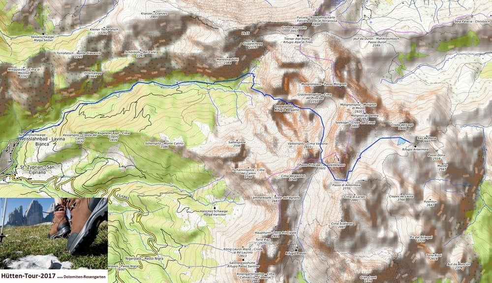
Tour map and elevation profile
Minimum height 1185 m
Maximum height 2772 m
More about the tour author
|
|
Stummi |
Comments

GPS tracks
Trackpoints-
GPX / Garmin Map Source (gpx) download
-
TCX / Garmin Training Center® (tcx) download
-
CRS / Garmin Training Center® (crs) download
-
Google Earth (kml) download
-
G7ToWin (g7t) download
-
TTQV (trk) download
-
Overlay (ovl) download
-
Fugawi (txt) download
-
Kompass (DAV) Track (tk) download
-
Track data sheet (pdf) download
-
Original file of the author (gpx) download
More about the tour author
|
|
Stummi |
Add to my favorites
Remove from my favorites
Edit tags
Open track
My score
Rate