Login

Forgot your login?

Cookies have to be accepted!
Your browser's cookie functionality is disabled. Please enable this functionality.

Not a member yet?

Register now
Login

Available for registred users only

Log in to use this feature.

Forgot your login?

Cookies have to be accepted!
Your browser's cookie functionality is disabled. Please enable this functionality.

Not a member yet?

Register now
Filter
Categories
Advanced filters
  • Distance (km)
  • Height
Save filters Reset filter

TrackRank

QRCode

Technical data

Distance10,5 km Height19 m Way down22 m Duration02:17 h:m Date23.09.2017
Scores Author Landscape Fun factor Fitness Technique

Statistics

269 Views Scores 10 Downloads Average
Rate
  • Track data sheet
  • Directions
  • Downloads
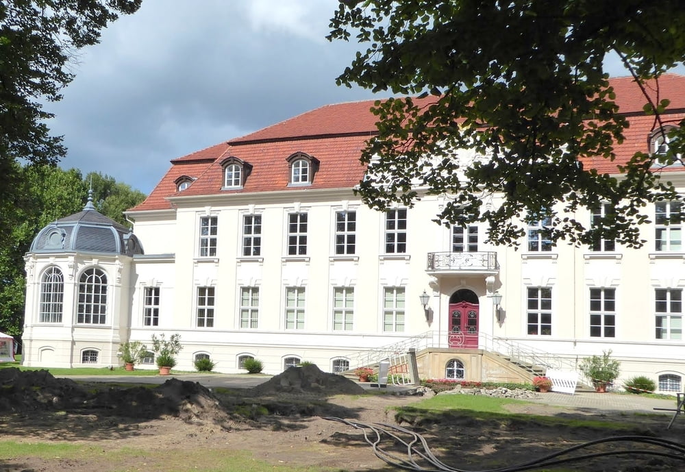
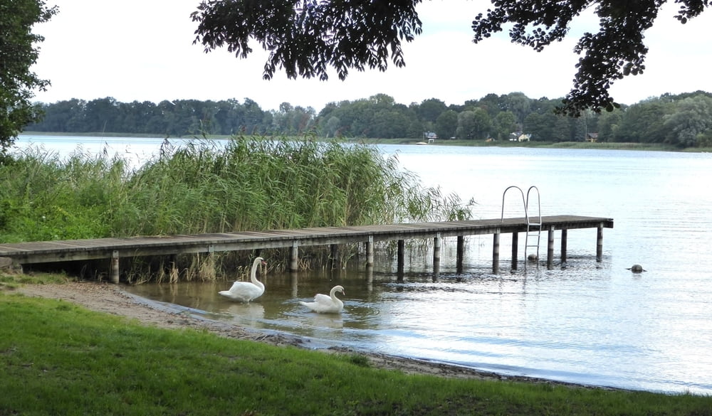
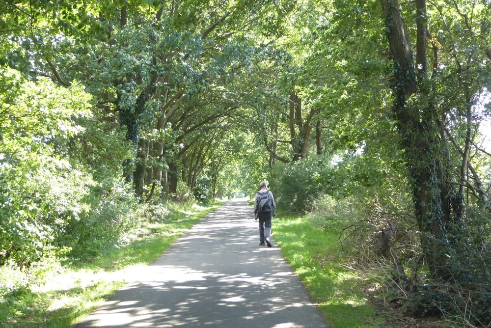
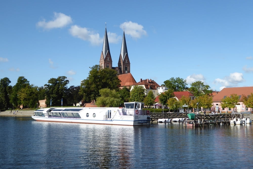
Von Wustrau wandern wir (vorwiegend auf  asphaltierten) Radwegen von Wutrau vorbei am Ruppiner See  (meist durch Bäume und Büsche verdeckt) zur Fontanestadt Neuruppin

Further information at

https://www.neuruppin.de/home.html

Tour gallery

Tour map and elevation profile

  • Open Street Map
  • Google
Minimum height 29 m Maximum height 42 m Detailed view

More about the tour author

horst1508
Member since 2012

Send private message

Comments

GPS tracks

Trackpoints
  • GPX / Garmin Map Source (gpx) download
  • TCX / Garmin Training Center® (tcx) download
  • CRS / Garmin Training Center® (crs) download
  • Google Earth (kml) download
  • G7ToWin (g7t) download
  • TTQV (trk) download
  • Overlay (ovl) download
  • Fugawi (txt) download
  • Kompass (DAV) Track (tk) download
  • Track data sheet (pdf) download
  • Original file of the author (gpx) download

More about the tour author

horst1508
Member since 2012

Send private message
Share track
Add to my favorites
Remove from my favorites
Edit tags
My score
Rate
Track: Von Wustrau nach Neuruppin
Type: Hiking
Distance: 10,5 km
Evaluated on:
Duration:
Day(s)
Hour(s)
Minute(s)
Score: Landscape Fun factor Fitness Technique