


Von Tolmin/Gabrije nach Kobarid, auf der Straße weiter Richtung Bovec. In Zaga dann links die Passstraße nach Italien nehmen.
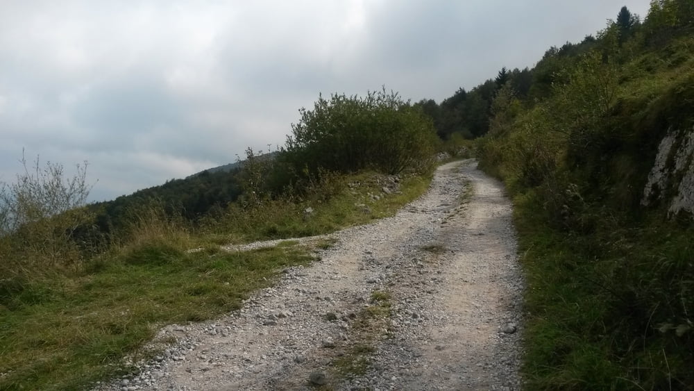
Kurz vor der alten Grenzstation links weg auf Karrenweg. Ohne Richtungswechsel in gleichbleibender Steigung auf alter Militärstraße (teils etwas rumpelig) hinauf zum Kamm des Stol.
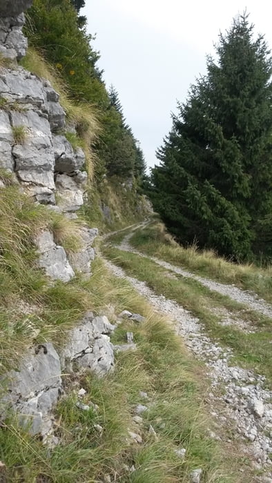
Links dem super spaßigen Weg folgen, nach der Schafweide (Wiesentrail) links in Wald rein - etwas unscheinbar, jedoch mit Wegweisern beschildert. Erst ca 150Tm Schiebestrecke dann rumpeliger Karrenweg, später dann Forstweg bis zur Straße (es kann im unteren Teil nach einer betonierten Rechtskurve noch ein Trail/Karrenweg mitgebommen werden) - auf der Straße angelangt rechts nach Kobarid und über Nebenstraße Richtung Tolmin zurück.
Tour gallery
Tour map and elevation profile
Minimum height 160 m
Maximum height 1396 m
More about the tour author

|
Gaemschenklein |
Comments

GPS tracks
Trackpoints-
GPX / Garmin Map Source (gpx) download
-
TCX / Garmin Training Center® (tcx) download
-
CRS / Garmin Training Center® (crs) download
-
Google Earth (kml) download
-
G7ToWin (g7t) download
-
TTQV (trk) download
-
Overlay (ovl) download
-
Fugawi (txt) download
-
Kompass (DAV) Track (tk) download
-
Track data sheet (pdf) download
-
Original file of the author (gpx) download
More about the tour author
|
|
Gaemschenklein |
Add to my favorites
Remove from my favorites
Edit tags
Open track
My score
Rate