


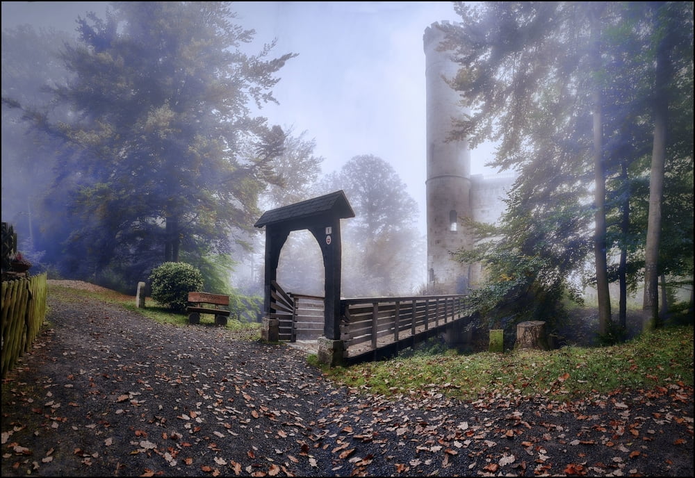
Der Weg vom Parkplatz in Hann.Münden führt zunächst steil auf zur Tilly-Schanze, und weiter mit moderaden Auf-und Abstiegen über asphaltierte Forstwege und auf zum Teil zugewachsenen Wegen zum Urwald und Schloss Sababurg. Die Rückfahrt ist ab der Bushaltestelle unterhalb des Schlosses nach Hann.Münden möglich.
Tour gallery
Tour map and elevation profile
Minimum height 117 m
Maximum height 418 m
More about the tour author
|
|
Empe53 |
Comments

Hann.Münen liegt in Niedersachsen an der Grenze zu Hessen sowie unweit von Thüringen, und ist über die B3 und B80 ereichbar.
Der Startpunkt-Parklatz ist auch als Wohnmobilstellplatz zugelassen.
GPS tracks
Trackpoints-
GPX / Garmin Map Source (gpx) download
-
TCX / Garmin Training Center® (tcx) download
-
CRS / Garmin Training Center® (crs) download
-
Google Earth (kml) download
-
G7ToWin (g7t) download
-
TTQV (trk) download
-
Overlay (ovl) download
-
Fugawi (txt) download
-
Kompass (DAV) Track (tk) download
-
Track data sheet (pdf) download
-
Original file of the author (gpx) download
More about the tour author
|
|
Empe53 |
Add to my favorites
Remove from my favorites
Edit tags
Open track
My score
Rate