


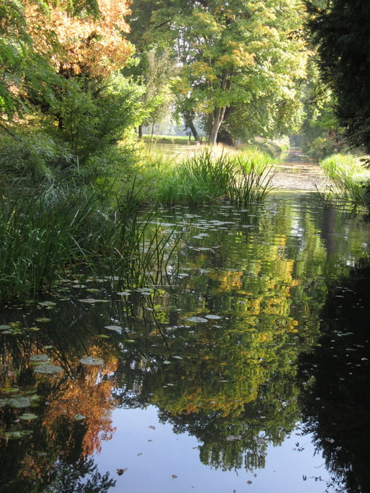
Mit BBL für ein verlängertes Wochenende nicht nach Thüringen, sondern in die Dübener Heide. Auf dem Hinweg bei schönstem Spätsommerwetter Station in den Wörlitzer Anlagen (früher Wörlitzer Park), auf der Rückreise -vier Wochen vor den Schlußfeierlichkeiten zu 500 Jahren Reformation- Stop in der Lutherstadt Wittenberg.
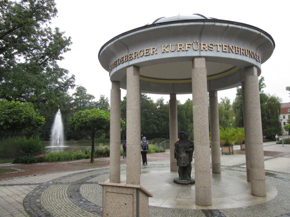
Nach anfänglichem Regen und langem Frühstück Aufbruch Richtung Reinharz, über Dreiländereck und Kaiser-Wilhelm-Turm zurück nach Bad Schmiedeberg.
Further information at
http://xxrhahn.de/touren/2017/duebener-heide/index.htmlTour gallery
Tour map and elevation profile
Minimum height 99 m
Maximum height 180 m
More about the tour author

|
xxrhahn |
Comments

vor Ort
GPS tracks
Trackpoints-
GPX / Garmin Map Source (gpx) download
-
TCX / Garmin Training Center® (tcx) download
-
CRS / Garmin Training Center® (crs) download
-
Google Earth (kml) download
-
G7ToWin (g7t) download
-
TTQV (trk) download
-
Overlay (ovl) download
-
Fugawi (txt) download
-
Kompass (DAV) Track (tk) download
-
Track data sheet (pdf) download
-
Original file of the author (gpx) download
More about the tour author
|
|
xxrhahn |
Add to my favorites
Remove from my favorites
Edit tags
Open track
My score
Rate