


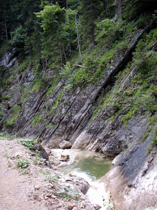
Extrem langer Bikemarathon. Auffahrt über den Spitzingsattel ins Valepp. Vorbei an steilen Felswänden und tiefen Schluchten fährt man zur Erzherzog Johann Klause. Der eigentliche Anstieg beginnt erst jetzt nach dem Abzweig zur Guffert Hütte. Abfahrt nach Steinberg und zur Kaiserklamm. Die Kaiserklamm sollte man an Wochenenden auslassen.
Tour gallery
Tour map and elevation profile
Minimum height 688 m
Maximum height 1472 m
More about the tour author
|
|
Kranich |
Comments

B307 Richtung Bayrischzell. Rechts Abzweigung zum Spitzingsee. Parkplatz an der alten Spitzingseestrasse.
GPS tracks
Trackpoints-
GPX / Garmin Map Source (gpx) download
-
TCX / Garmin Training Center® (tcx) download
-
CRS / Garmin Training Center® (crs) download
-
Google Earth (kml) download
-
G7ToWin (g7t) download
-
TTQV (trk) download
-
Overlay (ovl) download
-
Fugawi (txt) download
-
Kompass (DAV) Track (tk) download
-
Track data sheet (pdf) download
-
Original file of the author (gpx) download
More about the tour author
|
|
Kranich |
Add to my favorites
Remove from my favorites
Edit tags
Open track
My score
Rate