


Vogesencross im September 2017
- Etappe 01: Chatenois - Aubure [31 km, 1.074 hm]
- Etappe 02: Aubure - Col du Calvaire [27 km, 1.080 hm]
- Etappe 03: Col du Calvaire - Auberge Steinlebach [34 km, 781 hm]
- Etappe 04: Auberge Steinlebach - Petit Ballon - Auberge Steinlebach [26 km, 639 hm]
- Etappe 05: Auberge Steinlebach - Grand Ballon - Thann [32 km, 584 hm]
- Etappe 06: Thann - Bahnhof Rouffach [32 km, 162 hm]
[Der Track wurde mit Strava aufgezeichnet - die Höhenmeterangaben sind sowohl in Strava als auch hier mit Vorsicht zu genießen]
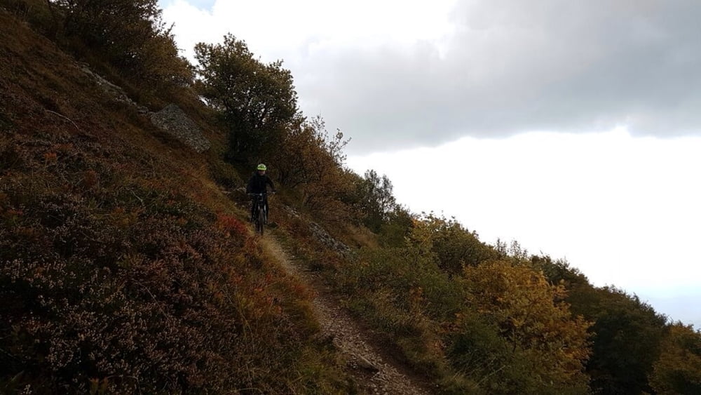
Die Auffahrt zum Grand Ballon war für uns ein Muss. Landschaftlich ist es dort wegen der Straße, der Autos und Motorräder nicht so hübsch. Die Abfahrt ist auf jedenfall sehr lohnenswert. Das erste Stück runter vom Grand Ballon ist sehr ruppig.
Die weitere Abfahrt ist einfach genial. Auch wenn der Weg abschnittsweise nah der Straße führt. Der Auto- und Motorradverkehr am Wochenende nervt aber doch deutlich. Es stinkt nach Abgasen und Bremsen, ohne Witz.
Vielleicht wäre es eine nette Abwandlung, noch zusätzlich über den Molkenrain zu fahren, wir haben den jedoch erstmal ausgelassen.
In Thann gibt es reichlich Unterkunftsmöglichkeiten.
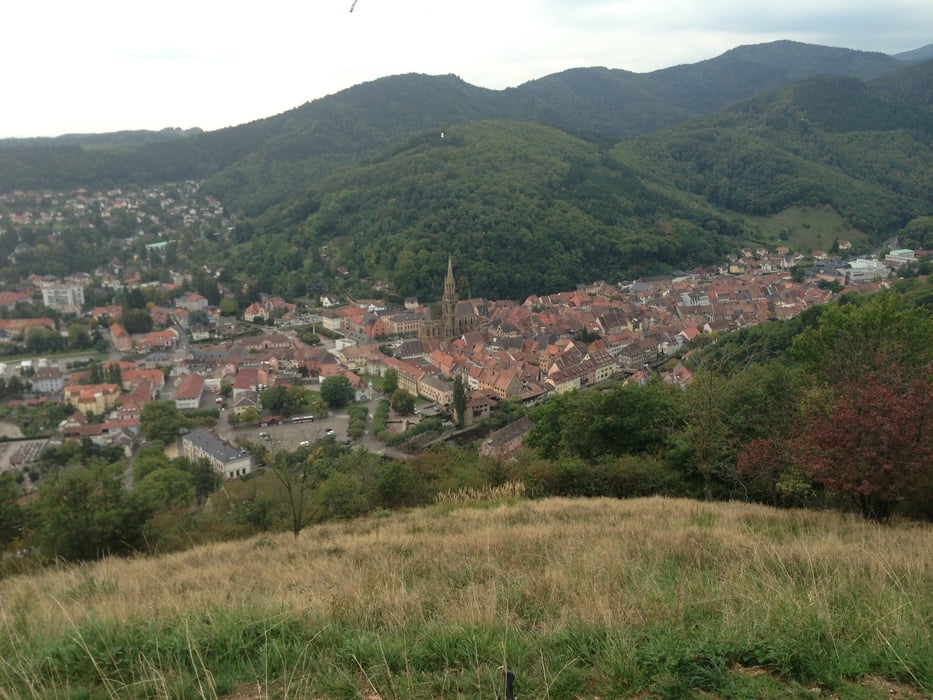
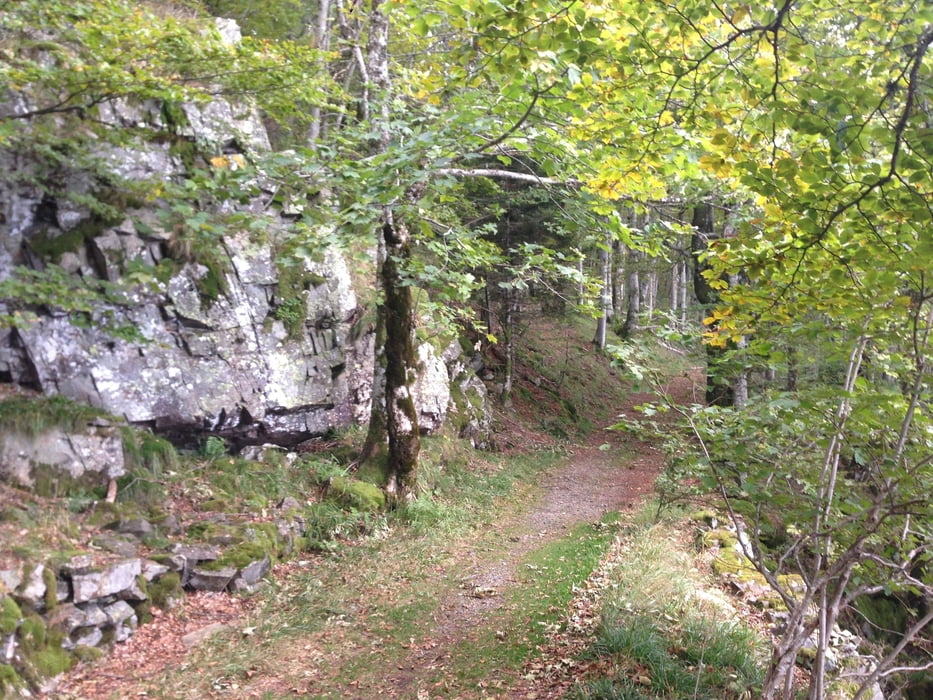
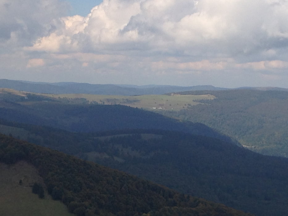
Tour gallery
Tour map and elevation profile
Minimum height 338 m
Maximum height 1413 m
More about the tour author
|
|
Flitz |
Comments

ggf. kann man im Sommer mit einem Bus hoch zur Route de Crete fahren ?
GPS tracks
Trackpoints-
GPX / Garmin Map Source (gpx) download
-
TCX / Garmin Training Center® (tcx) download
-
CRS / Garmin Training Center® (crs) download
-
Google Earth (kml) download
-
G7ToWin (g7t) download
-
TTQV (trk) download
-
Overlay (ovl) download
-
Fugawi (txt) download
-
Kompass (DAV) Track (tk) download
-
Track data sheet (pdf) download
-
Original file of the author (gpx) download
More about the tour author
|
|
Flitz |
Add to my favorites
Remove from my favorites
Edit tags
Open track
My score
Rate