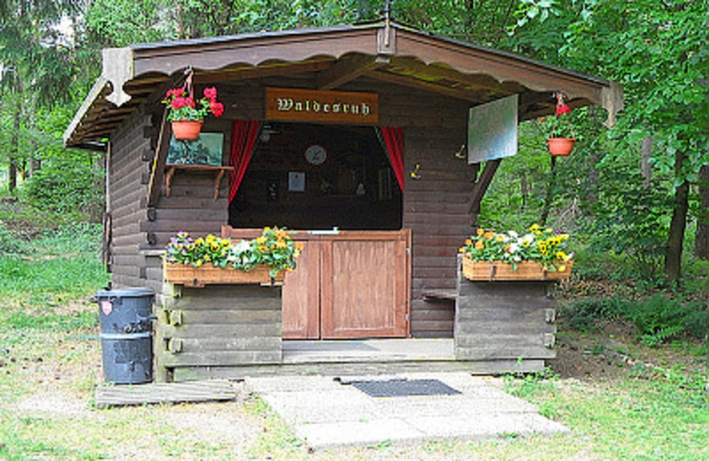
 Hier entspannt man sich gerne
Diese Wanderung führt zum einem um den Windpark von Schmidt sowie entlang der Gasleitung. Diese verläuft unterirdisch und ist somit außer einpaar Revisions-Schächte nicht sichtbar.Diese fast ohne Steigung verlaufene Route ist auch für einen Nachmittagsspaziergang geeignet. Sie kommen bei dieser Wanderung den Windräder sehe nache und können die Windgeräusche hören. Rast kann man in der schönen Schutzhütte "Waldesruh" einlegen. Diese Schutzhütte wird von Anwohnern in Schmidt liebevoll gepflegt. Hier fühlt man sich fast wie Zuhause in der guten Stube Dieser Wanderweg hat keine öffentliche Beschilderung. Die Mitnahme einer Wanderkarte ist zu empfehlen.
Weitere Touren: Nideggen-Schmidt
Further information at
http://der-eifelyeti.de/2017/02/27/waldesruh/Tour map and elevation profile
Comments

GPS tracks
Trackpoints-
GPX / Garmin Map Source (gpx) download
-
TCX / Garmin Training Center® (tcx) download
-
CRS / Garmin Training Center® (crs) download
-
Google Earth (kml) download
-
G7ToWin (g7t) download
-
TTQV (trk) download
-
Overlay (ovl) download
-
Fugawi (txt) download
-
Kompass (DAV) Track (tk) download
-
Track data sheet (pdf) download
-
Original file of the author (gpx) download

