


Radwanderung, kann auch als normale Tour abgekürzt werden.
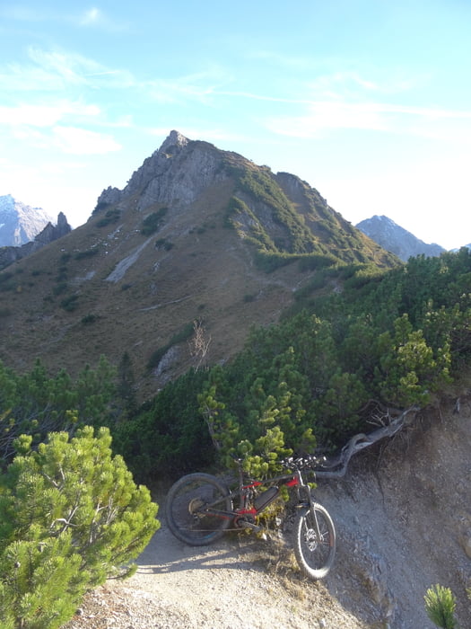
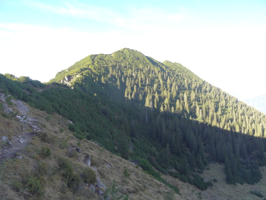
Von Nenzing auf Fahrweg bis Pass Richtung Tschengla / Bikepark Brandt. Am Paß 45min schieben zur Mondspitze, ca. 20hm davon tragen weil steil. Dann weiter ca. 40min mit wenig Fahranteil zum Schillersattel. Ab hier Abfahrt S2 bis zur Strasse. Dort wieder 150hm zurück Richtung Pass. Alternativ kann man am Pass ein Stück abfahren und wieder zum Ausgangspunkt zurück.
Ins Tal ein schöner S2 Trail mit einigen Wiesenstücken (ausserhalb Weidesaison sinnvoll). Dann eine andere Abfahrt zur früheren Tour ohne Mondspitze.
Tour gallery
Tour map and elevation profile
Minimum height 502 m
Maximum height 1960 m
More about the tour author
|
|
skyhopper |
Comments

GPS tracks
Trackpoints-
GPX / Garmin Map Source (gpx) download
-
TCX / Garmin Training Center® (tcx) download
-
CRS / Garmin Training Center® (crs) download
-
Google Earth (kml) download
-
G7ToWin (g7t) download
-
TTQV (trk) download
-
Overlay (ovl) download
-
Fugawi (txt) download
-
Kompass (DAV) Track (tk) download
-
Track data sheet (pdf) download
-
Original file of the author (gpx) download
More about the tour author
|
|
skyhopper |
Add to my favorites
Remove from my favorites
Edit tags
Open track
My score
Rate