
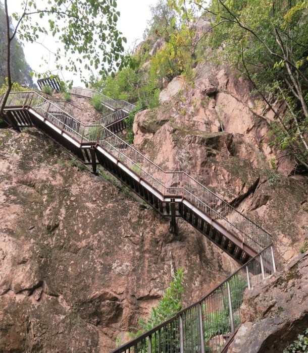

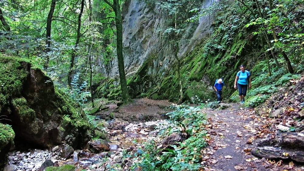
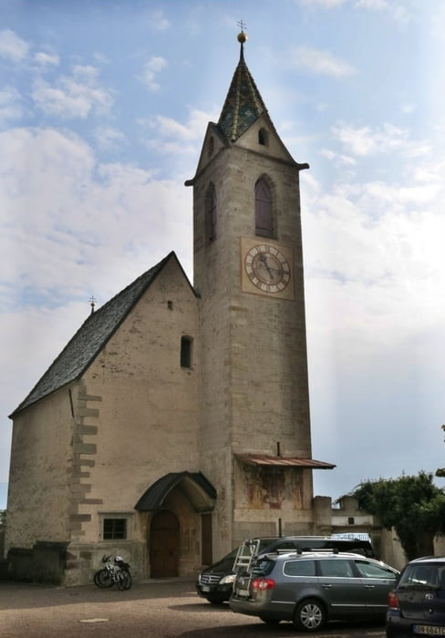
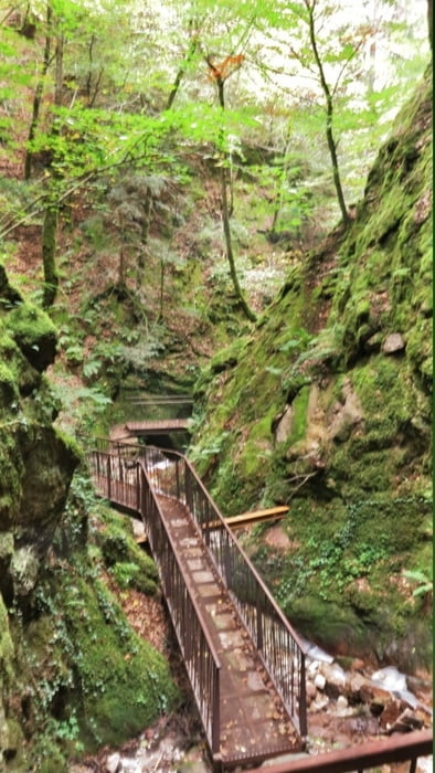
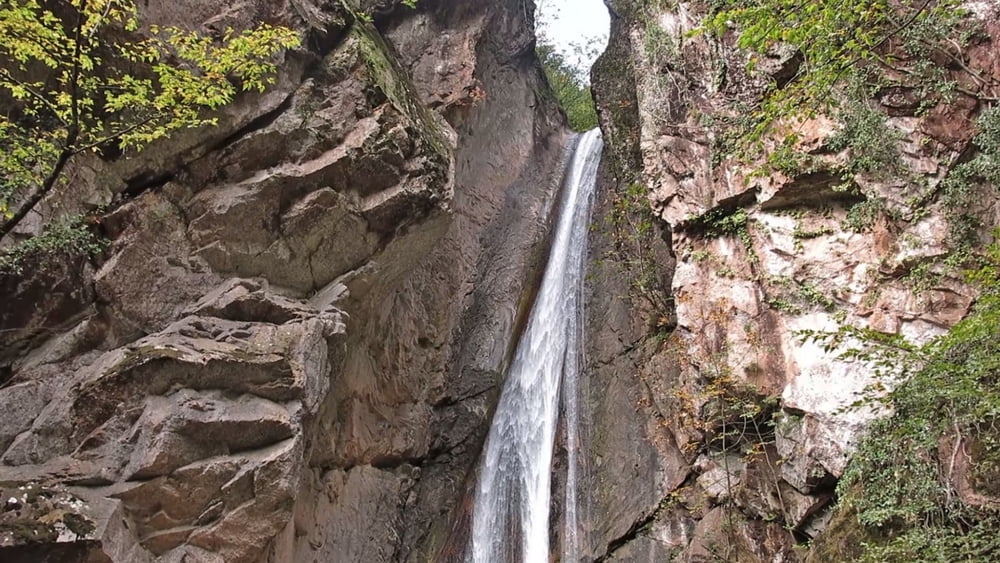
Vom Parrkplatz zur Straße, an Bushaltestelle lins bis Hotel Seeleiten. Rechts aufwärts, an Straßengabelung halbrechts dem Wegweiser Rastenbachklamm folgend. Nach dem Weingut Domenikus in den Wald, bald scharf links in lichtem Wald aufwärts. Nach einer Holzstiege beginnt die Klamm. Es geht über Eisenstiegen, Wege und Brücken durch die markante Klamm. An Wegweiser gehen wir links nach Altenburg. An der Kirche geradeaus und rechts zur Straße. Auf dieser rechts ab, durch eine Links- und Rechtskurve. Vor der nächsten Linkskurve rechts an einer Bank abwärts durch die Schlucht zum Abzweigpunkt vom Aufstieg. Auf Herweg zurück.
HINWEIS zum Video:
Mit Mozilla Firefox u.a. mit Flash- Player Plugin startet das Video direkt bei der Bildershow.
Andernfalls verwendet ihr in eurem Browser den Link:
https://youtu.be/p_7AN0MJY3w
Tour gallery
Tour map and elevation profile
Minimum height 236 m
Maximum height 606 m
More about the tour author
|
|
heinz-57 |
Comments

Von Kaltern kommend am Ortsanfang St. Josef links zu Parkplatz am Kalterer See.
GPS tracks
Trackpoints-
GPX / Garmin Map Source (gpx) download
-
TCX / Garmin Training Center® (tcx) download
-
CRS / Garmin Training Center® (crs) download
-
Google Earth (kml) download
-
G7ToWin (g7t) download
-
TTQV (trk) download
-
Overlay (ovl) download
-
Fugawi (txt) download
-
Kompass (DAV) Track (tk) download
-
Track data sheet (pdf) download
-
Original file of the author (gpx) download
More about the tour author
|
|
heinz-57 |
Add to my favorites
Remove from my favorites
Edit tags
Open track
My score
Rate