Login

Forgot your login?

Cookies have to be accepted!
Your browser's cookie functionality is disabled. Please enable this functionality.

Not a member yet?

Register now
Login

Available for registred users only

Log in to use this feature.

Forgot your login?

Cookies have to be accepted!
Your browser's cookie functionality is disabled. Please enable this functionality.

Not a member yet?

Register now
Filter
Categories
Advanced filters
  • Distance (km)
  • Height
Save filters Reset filter

TrackRank

QRCode

Technical data

Distance45,4 km Height190 m Way down184 m Duration04:00 h:m Date17.10.2017
Scores Author Landscape Fun factor Fitness Technique

Statistics

308 Views Scores 15 Downloads Average
Rate
  • Track data sheet
  • Directions
  • Downloads

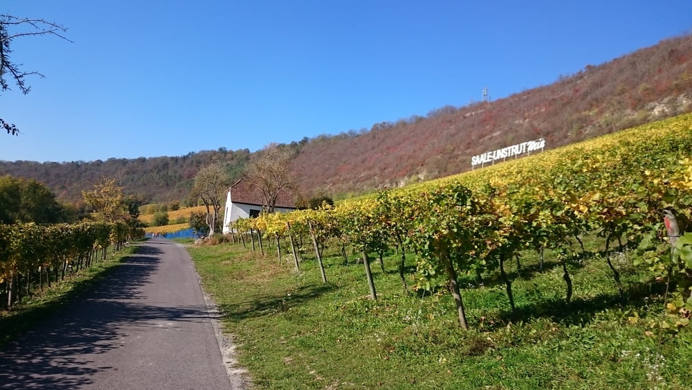
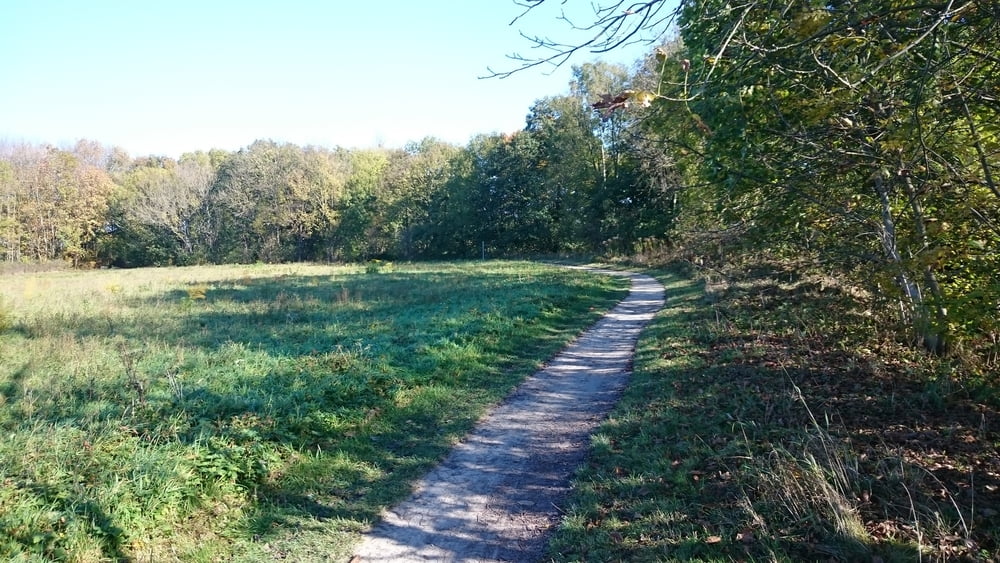
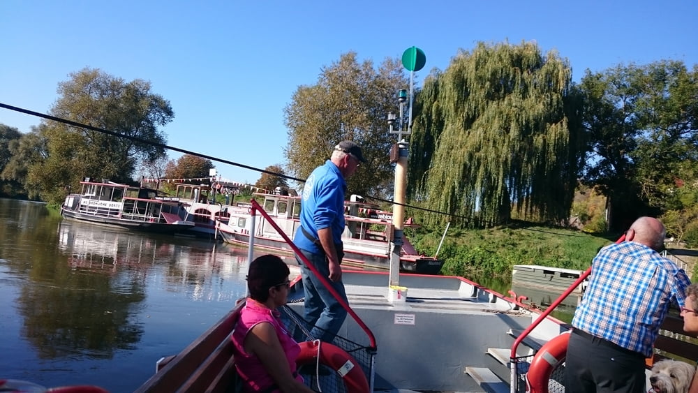
Kleine Genuss Runde von Bad Sulza nach Naumburg an der Saale und dann zurück über die Weinberge.

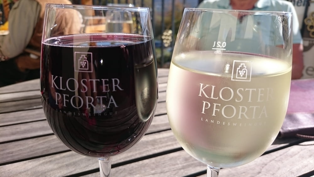
Straußwirtschaften am Weg laden zur Pause ein.

Tour gallery

Tour map and elevation profile

  • Open Street Map
  • Google
Minimum height 106 m Maximum height 152 m Detailed view

More about the tour author

JZE
Member since 2009

Send private message

Comments

Mit dem Zug bis Bad Sulza

GPS tracks

Trackpoints
  • GPX / Garmin Map Source (gpx) download
  • TCX / Garmin Training Center® (tcx) download
  • CRS / Garmin Training Center® (crs) download
  • Google Earth (kml) download
  • G7ToWin (g7t) download
  • TTQV (trk) download
  • Overlay (ovl) download
  • Fugawi (txt) download
  • Kompass (DAV) Track (tk) download
  • Track data sheet (pdf) download
  • Original file of the author (gpx) download

More about the tour author

JZE
Member since 2009

Send private message
Share track
Add to my favorites
Remove from my favorites
Edit tags
My score
Rate
Track: Weinbergtour Saale/Unstrud von Bad Sulza - Bad Kösen - Naumburg und zurück
Type: Trekkingbike
Distance: 45,4 km
Evaluated on:
Duration:
Day(s)
Hour(s)
Minute(s)
Score: Landscape Fun factor Fitness Technique